Culebra Island
Culebra Island is an island belonging to Puerto Rico, located approximately 20 miles east of the main island and 15 miles west of St. Thomas in the Virgin…

What is Culebra Island?
Culebra Island is an island belonging to Puerto Rico, located approximately 20 miles east of the main island and 15 miles west of St. Thomas in the Virgin Islands.1
Spanning about 10 square miles, the island features a hilly landscape composed of limestone and igneous rock, reaching its highest point at Mount Resaca. It is positioned between the Atlantic Ocean to the north and the Vieques Sound, which links the Atlantic to the Caribbean Sea, to the south and west.1
Historically, the island’s deep bay, Puerto Grande, served as a U.S. naval base until 1975. Today, due to the island’s sparse soil and lack of permanent streams, the local economy is primarily supported by tourism and fishing.1
What is the history of the U.S. naval base on Culebra?
The U.S. naval base on Culebra Island was centered around the island’s deep bay, known as Puerto Grande, located on the southeast coast. This facility served as a strategic military site for the United States for several decades. The naval presence on the island concluded in 1975, after which the area transitioned away from its military function.1
What are some unique animals found on Culebra’s wildlife refuge?
How does the geography of Puerto Rico compare to Culebra?
The geography of Puerto Rico and Culebra Island differs significantly in scale, elevation, and hydrological features.
Topography and Elevation
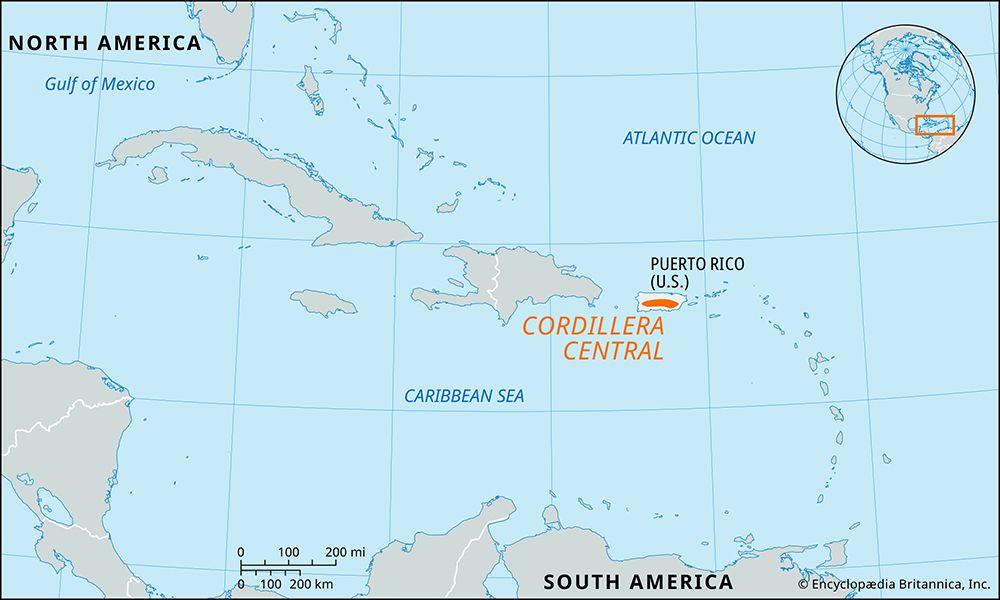
Puerto Rico is a large, mountainous island characterized by complex relief. Its central mountain range, the Cordillera Central, features peaks exceeding 3,000 feet, with the highest point, Cerro de Punta, reaching 4,390 feet. In contrast, Culebra is a small, hilly island covering only 10 square miles. Its highest point, Mount Resaca, reaches a modest 646 feet. While Puerto Rico contains diverse features like karst landscapes and extensive river basins, Culebra is a smaller mass of limestone and igneous intrusions.12
Water and Soil
A primary distinction is the availability of water. Puerto Rico’s varied topography supports river systems and basins, such as the Caguas Basin, which provide land for settlement and agriculture. Culebra, however, is characterized by sparse, thin soils and lacks permanent streams, which limits its agricultural potential compared to the main island.12
Sources
- Culebra Island — Encyclopædia Britannica
- Puerto Rico - Relief — Encyclopædia Britannica
- Puerto Rico - History of Puerto Rico — Encyclopædia Britannica
Published on · 2 min read