Demerara River
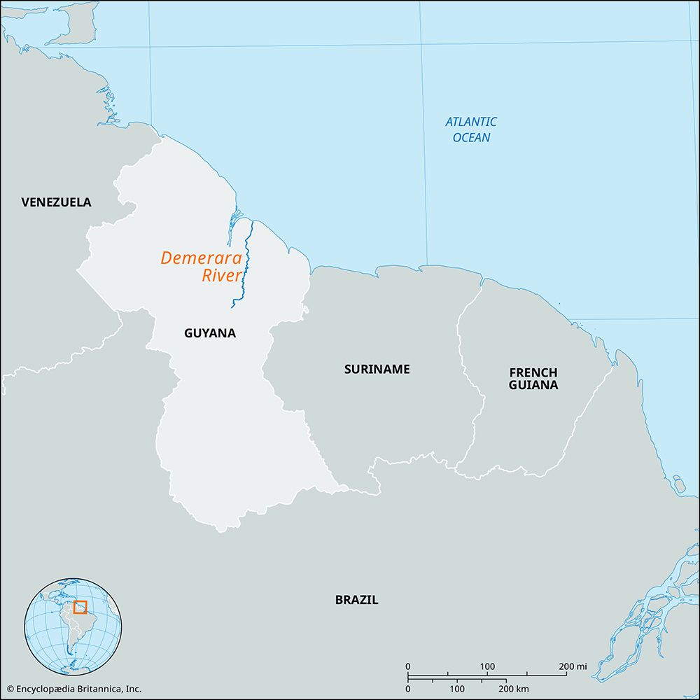
The Demerara River is a 215-mile (346 km) river located in eastern Guyana. It originates in the forests of central Guyana and flows northward, emptying into…
What is Demerara River?
The Demerara River is a 215-mile (346 km) river located in eastern Guyana. It originates in the forests of central Guyana and flows northward, emptying into the Atlantic Ocean at Georgetown.1
The river features a narrow estuary that maintains a deep channel, allowing oceangoing steamers to travel 65 miles (105 km) upstream to Linden to transport bauxite. Smaller vessels can navigate an additional 25 miles (40 km) to Malali, beyond which the river is obstructed by numerous rapids.1
The name is derived from the former Dutch colony of Demerara, which merged with Essequibo and Berbice in 1831 to form British Guiana, the predecessor to the modern independent republic of Guyana.1
What is the importance of bauxite mining in Guyana?
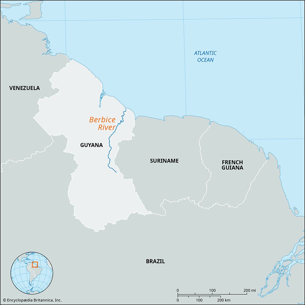
Bauxite mining is a cornerstone of Guyana’s economy, as the country possesses extensive deposits between the Demerara River and the Berbice River, making it one of the world’s largest producers of the mineral.3
Historically, the industry has been vital to the nation’s development. The city of Linden grew specifically around a large mining camp established by foreign interests, which was later nationalized as the Guyana Bauxite Company. For decades following independence, Guyana’s economy relied heavily on the export of mined products like bauxite and agricultural goods. To manage this, the government established the Guyana Mining Enterprise Ltd. to oversee mineral production.45
Today, bauxite and alumina are primarily processed in Linden, with additional operations located downriver at Everton. The industry remains significant, utilizing the Demerara River’s deep channel to transport processed bauxite via oceangoing vessels to international markets. While the recent emergence of the oil sector has transformed the economic landscape, bauxite continues to be a key component of Guyana’s industrial base.1465
How did the Dutch influence the history of Guyana?
The Dutch played a foundational role in the history of Guyana, transitioning the region from a largely unclaimed territory into a structured colonial economy. Their influence is evident in several key areas:
- Early Settlement: While Spain claimed the region in the late 15th century, they largely avoided it. The Dutch began establishing trading posts along the Essequibo and other rivers around 1580, eventually forming the Dutch West India Company in 1621 to manage the territory.789
- Economic Development: The Dutch introduced the plantation system, importing enslaved people from West Africa to cultivate sugarcane, cotton, and coffee. They also pioneered sophisticated water-control techniques, including dikes and canals for irrigation and drainage, which remain a defining feature of Guyana’s coastal land-use patterns today.78910
- Urban Foundations: The Dutch were instrumental in developing early settlements, including the site that became Georgetown, which they renamed Stabroek7.
- Political Legacy: The Dutch colonies of Demerara, Berbice, and Essequibo were eventually purchased by the British in 1814 and united in 1831 to form British Guiana, the direct predecessor to modern Guyana.789
What are the major rivers of South America?
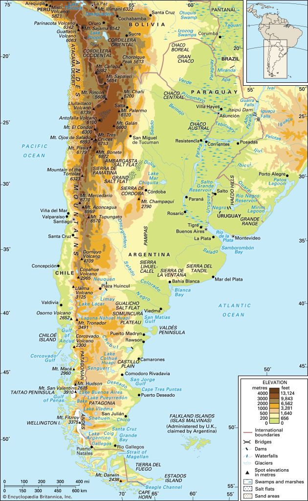
South America’s drainage systems are primarily shaped by the continent’s physical structure, with the majority of major rivers flowing eastward from the Andes Mountains to the Atlantic Ocean. Four primary systems cover approximately two-thirds of the continent:11
- Amazon River: The largest drainage system in the world, the Amazon carries one-fifth of the Earth’s flowing fresh water. It stretches across equatorial South America, fed by over 1,000 tributaries, including the Negro, Madeira, and Xingu rivers.111213
- Río de la Plata System: This system, which discharges into an estuary rather than a single river, is formed by the Paraguay, Paraná, and Uruguay rivers. It serves as the second most important drainage network on the continent.1113
- Orinoco River: Flowing through Venezuela and Colombia, the Orinoco is the third largest system. A unique feature is the Casiquiare, a navigable waterway that links the Orinoco and Amazon basins.111412
- São Francisco River: Located entirely within Brazil, this is the fourth largest system, serving as a vital artery for communication and hydroelectric power since colonial times.1113
Rivers flowing to the Pacific Ocean are generally shorter and carry less water due to the proximity of the Andes to the coast. Notable examples include the Guayas in Ecuador and the Santa in Peru.11
Sources
- Demerara River — Encyclopædia Britannica
- Demerara — Merriam-Webster
- Guyana - Manufacturing — Encyclopædia Britannica
- Linden — Encyclopædia Britannica
- Guyana - Resources and power — Encyclopædia Britannica
- Guyana - Economy of Guyana — Encyclopædia Britannica
- Guyana - Early history — Encyclopædia Britannica
- The Guianas — Encyclopædia Britannica
- Essequibo - European colonization — Encyclopædia Britannica
- Guyana - Agriculture, forestry, and fishing — Encyclopædia Britannica
- South America - Rivers of South America — Encyclopædia Britannica
- Orinoco River — Encyclopædia Britannica
- Río de la Plata - Physiography of the Paraguay basin — Encyclopædia Britannica
- Amazon River - Physiography of the river course — Encyclopædia Britannica
- Amazon River - The length of the Amazon — Encyclopædia Britannica
- Brazil - Rivers of Brazil — Encyclopædia Britannica
Published on · 3 min read