Dogger Bank
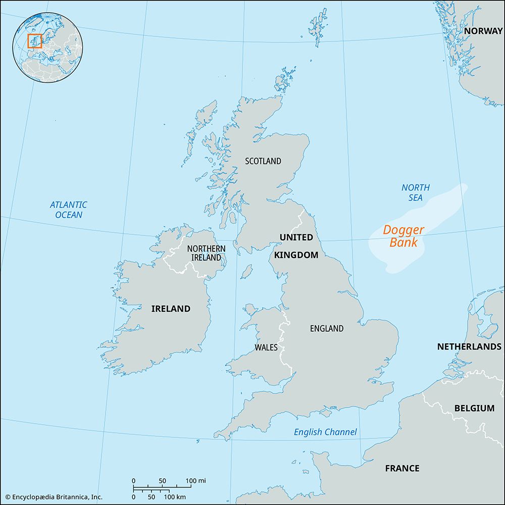
Dogger Bank is an extensive, isolated shoal located in the North Sea, approximately 60 miles off the northeastern coast of England. It is a massive moraine…
What is Dogger Bank?
Dogger Bank is an extensive, isolated shoal located in the North Sea, approximately 60 miles off the northeastern coast of England. It is a massive moraine deposited at the southern limit of the last glaciation, rising about 70 feet above the surrounding seafloor.1
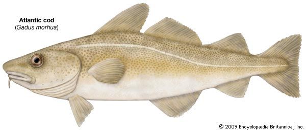
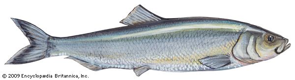
Historically, the area is a significant fishing ground, known for abundant catches of species such as cod and herring. The name is thought to derive from the Dutch dogger, referring to traditional two-masted fishing vessels.1
Geologically, Dogger Bank is a remnant of “Doggerland,” a former land bridge that once connected Great Britain to continental Europe. As sea levels rose between 9,000 and 7,000 years ago, this region was gradually inundated. Some scientists suggest that tsunamis triggered by the Storegga slides may have accelerated the final separation of Britain from the continent, leaving the bank as a submerged feature.2
What was life like for the people who lived in Doggerland?
“Doggerland” was a vast, habitable land bridge that connected Great Britain to continental Europe (specifically Denmark and the Netherlands) until it was gradually inundated by rising sea levels between 9,000 and 7,000 years ago.13
During this period, the region was inhabited by human populations who relied on intensified food-collecting strategies. Archaeological evidence from the broader Mesolithic culture in northwestern Europe—such as the Maglemosian industry—provides insight into their daily lives:14
- Subsistence: People were skilled hunters and gatherers, relying on deer, waterfowl, and a variety of [fish]. They utilized advanced tools like harpoons, fish-hooks, and multi-pronged spears, as well as fishnets made from bark fiber.4
- Technology: They crafted sophisticated tools, including flint axes and adzes for woodworking, and composite tools using microliths as points or barbs for arrows. Preserved artifacts include bows, paddles, and even dugout canoes.4
- Settlement: Sites were often occupied seasonally, likely near swampy lakes or bogs. Settlements were small; for example, evidence suggests some sites consisted of only a few huts housing approximately 25 people.4
As sea levels rose, these inhabitants were forced to slowly abandon the area, a process potentially accelerated by catastrophic tsunamis triggered by the Storegga slides.1
How do glaciers create underwater features like moraines?
Glaciers create underwater features, such as moraine shoals, primarily through the transport and deposition of sediment at their terminus. As a glacier moves, it acts like a conveyor belt, carrying rock debris—known as till—beneath, within, and on top of the ice toward its margin.64
When a glacier terminates in a body of water, such as a fjord or the ocean, it is referred to as a tidewater glacier. In these environments, glacial erosion and the melting of ice cause sediment to accumulate at the glacier’s snout, forming a moraine shoal. This process involves several dynamics:7
- Deposition: As the glacier advances, it deposits sediment on the downstream face of the shoal. Conversely, as it moves, it may erode the upstream face of the feature.7
- Stability: The shoal acts as a physical barrier that reduces water depth at the terminus. By making the water shallower, the shoal inhibits the calving of icebergs, which allows the glacier to maintain a more stable, extended position.7
- Instability: If the glacier retreats slightly, the deeper water upstream of the shoal can trigger an increase in calving, potentially leading to a rapid, irreversible retreat until the glacier reaches shallower water elsewhere.7
What impact do tsunamis have on coastal geography?
Tsunamis exert a profound and often destructive influence on coastal geography. As these waves approach land, friction with the rising seafloor slows their velocity, causing their wavelengths to shorten and their amplitudes to increase dramatically. This process can result in water levels rising as high as 30 meters (about 100 feet) above normal sea level within minutes.1112
The physical impact on the coastline is severe and transformative:
- Erosion and Removal: The powerful “run-ups” of water and the subsequent violent outflow can wash away entire beaches, peninsulas, and other low-lying coastal formations.12
- Structural Alteration: The force of the water is sufficient to uproot trees and remove buildings from their foundations, fundamentally altering the landscape of developed coastal areas.12
- Topographic Influence: Because tsunamis are reflected and refracted by the configuration of the coastline and the seafloor topography, their erosive effects vary significantly from one location to another.12
- Exposure: In some instances, the initial trough of the wave causes water to recede far from the shore, temporarily exposing the shallow seafloor.1112
Sources
- Dogger Bank — Encyclopædia Britannica
- Dogger Bank — Merriam-Webster
- Storegga slides — Encyclopædia Britannica
- North Sea - Geology — Encyclopædia Britannica
- Stone Age - The Maglemosian — Encyclopædia Britannica
- glacial landform - Moraines — Encyclopædia Britannica
- glacial landform - Meltwater deposits — Encyclopædia Britannica
- glacial landform - Glacial deposition — Encyclopædia Britannica
- glacier - Tidewater glaciers — Encyclopædia Britannica
- glacial landform - Glaciolacustrine deposits — Encyclopædia Britannica
- What Causes Tsunamis? — Encyclopædia Britannica
- tsunami - Origin and development — Encyclopædia Britannica
Published on · 3 min read