Donner Pass
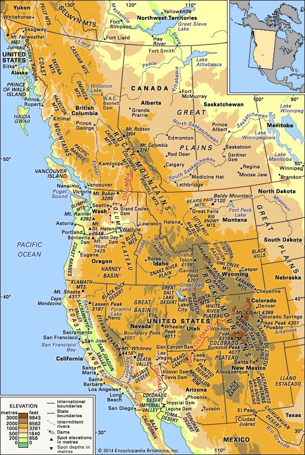
Donner Pass is a mountain pass located in the Sierra Nevada range of northern California, situated at an elevation of over 7,000 feet (approximately…
What is the geographical location and significance of Donner Pass in California?
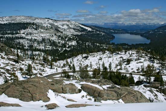
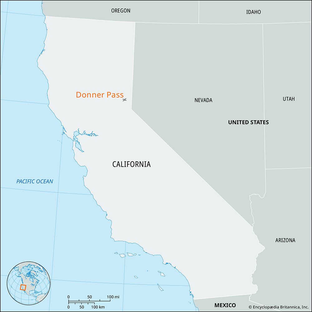
Donner Pass is a mountain pass located in the Sierra Nevada range of northern California, situated at an elevation of over 7,000 feet (approximately 2,100–2,160 meters). It lies 35 miles west-southwest of Reno, Nevada, and is currently located within the Tahoe National Forest.12
The pass serves as a vital transmontane route for both rail and highway transportation, connecting the San Francisco area with Reno. Historically, it is known for the tragic 1846–1847 expedition of the Donner party, a group of immigrants who became trapped by heavy snow while attempting to reach the Sacramento Valley. While the group faced extreme hardship and starvation, modern archaeological investigations have not confirmed historical reports of cannibalism at the site. Today, the area is commemorated by the nearby Donner Memorial State Park.1
How did Donner Pass get its name, and what historical events are associated with it?
Donner Pass in the Sierra Nevada mountains of California is named for the Donner party, a group of American pioneers led by George Donner that became stranded there during the winter of 1846–1847.13
The group’s ordeal began after they chose to follow the “Hastings Cutoff,” a poorly researched and treacherous route that caused significant delays. By the time they reached the Sierra Nevada, they were exhausted and low on supplies. On October 31, 1846, they found their path blocked by exceptionally heavy snow. The migrants were forced to establish camps near what is now Donner Lake and Alder Creek. As food supplies—including their oxen—were depleted, the group suffered from starvation and extreme cold. Historical accounts indicate that survivors resorted to cannibalism to survive until rescue parties from Fort Sutter could reach them.31
While archaeological research at the Alder Creek site in 2010 found no physical evidence of human remains, researchers noted that this does not disprove the extensive contemporary accounts provided by survivors and rescuers.13
What role did Donner Pass play in the development of transportation routes in California?
Donner Pass serves as the most significant transmontane route in the Sierra Nevada range, functioning as a critical corridor for both rail and highway transportation between San Francisco and Reno, Nevada.1
Its development as a major transit artery was essential for connecting the California coast with the interior of the United States. Historically, the pass gained notoriety during the winter of 1846–1847 when the Donner party—a group of pioneers attempting to reach the Sacramento Valley—became trapped by severe snowstorms. Despite this tragic event, the route remained a focal point for westward expansion. In the 20th century, the pass became a key segment of early transcontinental road networks, including the Lincoln Highway, which was completed in 1927 as the first major highway spanning from New York City to San Francisco.134
Today, the pass continues to be a vital infrastructure link, situated within the Tahoe National Forest and commemorated by the nearby Donner Memorial State Park.1
What is the elevation of Donner Pass, and how does it compare to other mountain passes in California?
Donner Pass, located in the Sierra Nevada of northern California, sits at an elevation of approximately 7,090 feet (2,160 meters).12
When compared to other mountain passes in the region, Donner Pass is relatively low in elevation. For instance, Tioga Pass, which serves as the eastern entrance to Yosemite National Park, reaches an elevation of 9,945 feet (3,031 meters), making it the highest roadway across the Sierra Nevada. The broader Sierra Nevada range features significantly higher terrain, with peaks in the southern and central sections ranging from 11,000 to 14,000 feet, culminating in Mount Whitney at 14,494 feet (4,418 meters). While the northern portion of the range where Donner Pass is situated generally features lower summits—typically between 7,000 and 9,000 feet—the pass remains a vital, lower-elevation corridor for transmontane transportation.5671
Sources
- Donner Pass — Encyclopædia Britannica
- Donner Pass — Merriam-Webster
- Donner party — Encyclopædia Britannica
- Lincoln Highway — Merriam-Webster
- Tioga Pass — Encyclopædia Britannica
- Sierra Nevada - Physiography — Encyclopædia Britannica
- Mount Whitney — Encyclopædia Britannica
Published on · 3 min read