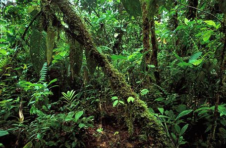
Espiritu Santo
Espiritu Santo, the largest island in Vanuatu, holds significant historical importance due to its strategic role during World War II.
What is the historical significance of Espiritu Santo, particularly during World War II?
Espiritu Santo, the largest island in Vanuatu, holds significant historical importance due to its strategic role during World War II.
During the conflict, the island—specifically the area near Luganville—served as a vital Allied military base in the southwestern Pacific Ocean. The infrastructure developed there supported Allied operations throughout the region. Following the war, the island’s military legacy continued to shape its landscape; the Segond Channel became a notable site for divers, as it contains numerous ships that were scuttled by Allied forces at the conclusion of the war.1
Beyond its wartime history, the island was first sighted in 1606 by the Portuguese navigator Pedro Fernández de Quirós, who named it in honor of the Holy Spirit while searching for the “unknown southern land” for the Spanish crown.1
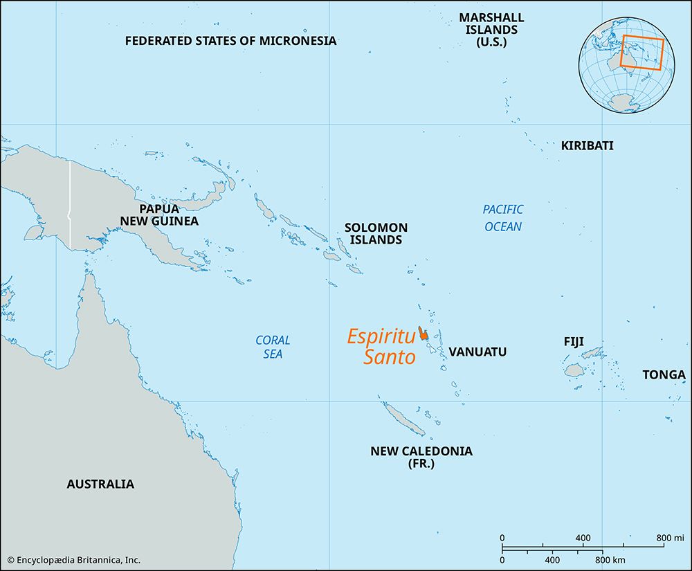
Where is Espiritu Santo located within Vanuatu, and what are its physical characteristics?
Espiritu Santo is the largest and westernmost island of Vanuatu, situated in the southwestern Pacific Ocean.1
The island is volcanic in origin and features a rugged landscape characterized by a mountain range that runs along its west coast. This range includes Mount Tabwémasana, which, at 6,165 feet (1,879 meters), serves as the highest point in all of Vanuatu.12
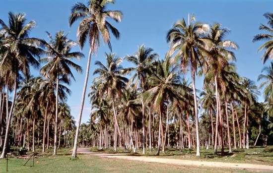
Physically, the island is heavily wooded, featuring dense rain forest cover, and is marked by broad, fertile, and well-watered valleys. The island’s geography also includes coastal terraces and offshore coral reefs, which are common features across the Vanuatu archipelago.12
How has tourism developed on Espiritu Santo, and what are its main attractions?
Tourism on Espiritu Santo began to gain significant importance in the late 20th century as Vanuatu sought to diversify its economy beyond traditional agriculture. As the sector grew, it attracted foreign investment for the development of resorts and various attractions, supported by the island’s accessibility via its airport near Luganville.
The island’s main attractions are deeply tied to its unique history and geography:
- Wartime Heritage: The Segond Channel is a premier destination for divers. It features numerous ships that were scuttled by Allied forces at the end of World War II, creating a world-renowned underwater historical site.1
- Natural Landscapes: The island’s rugged, volcanic terrain, dense rain forest, and fertile valleys offer significant appeal for those interested in exploring the natural beauty of the Pacific.1
While tourism has become a primary earner of foreign income, its development has been shaped by complex land-use policies, as all land in Vanuatu remains under customary collective ownership.3
What is the origin of the name ‘Espiritu Santo’ and who first discovered the island?
The island of Espiritu Santo was sighted in 1606 by the Portuguese navigator Pedro Fernández de Quirós, who was sailing on behalf of the Spanish crown.1
Quirós believed he had discovered the terra australis incognita (the “unknown southern land”) he had been seeking. Consequently, he named the island Tierra Austrialia del Espíritu Santo. The name carries two distinct meanings:
- Espíritu Santo: This is Spanish for “Holy Spirit”.1
- Austrialia: This term was coined by Quirós to simultaneously reference the Latin terra australis and the Habsburg rulers of Spain, who were of Austrian-German descent.1
During this expedition, Quirós attempted to establish a short-lived settlement at what is now known as Big Bay.1
Sources
- Espiritu Santo — Encyclopædia Britannica
- Vanuatu - Land — Encyclopædia Britannica
- Vanuatu - Economy — Encyclopædia Britannica
- Espiritu Santo — Merriam-Webster
- Pacific Islands - The 16th and 17th centuries — Encyclopædia Britannica
Published on · 2 min read