ʿEua
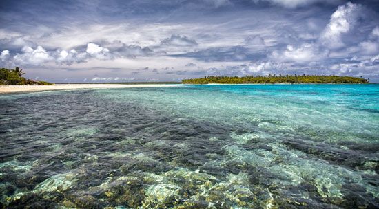
‘Eua is a volcanic and limestone island located in the Tongatapu Group of Tonga in the southwestern Pacific Ocean. As the second-largest island in the group…
What is ʿEua?
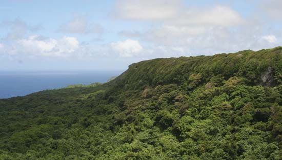
‘Eua is a volcanic and limestone island located in the Tongatapu Group of Tonga in the southwestern Pacific Ocean. As the second-largest island in the group, it covers an area of 33.7 square miles (87.4 square km) and features hilly terrain reaching an elevation of 1,078 feet (329 metres).12
First sighted in 1643 by the Dutch navigator Abel Janszoon Tasman, who originally named it Middleburg, the island today supports an economy driven by agriculture—specifically vanilla, kava, and root crops—as well as tourism and forestry. The island also maintains a local education system consisting of government-run primary schools and various church-administered middle and secondary schools.12
What are the main islands that make up the country of Tonga?
The country of Tonga consists of approximately 170 islands, which are organized into three primary island groups located in the southwestern Pacific Ocean:
- Tongatapu Group: Located in the south, this group includes the nation’s largest and most populous island, Tongatapu Island, which houses the capital, Nuku‘alofa. Other notable islands in this cluster include ‘Eua and ‘Ata.23
- Ha‘apai Group: Situated in the center, this group comprises about five dozen islands, including Lifuka, Tofua, and Kao—the latter of which contains the highest point in Tonga.453
- Vava‘u Group: Located in the north, this group is known for its hilly terrain and large, landlocked harbour on Vava‘u Island.53
Additionally, Tonga includes several isolated islands, such as Niuafo‘ou, Niuatoputapu, and Tafahi, which are collectively referred to as the Niuas island group in the far north.3
How do volcanic islands differ from coral islands?
Volcanic and coral islands differ fundamentally in their geological origins, physical structures, and composition.
Volcanic Islands
Volcanic islands are built up from the seafloor through the extrusion of molten rock, typically basaltic or andesitic magmas. They often form in specific tectonic settings:6
- Island Arcs: Formed at subduction zones where one tectonic plate is forced beneath another.6
- Oceanic Ridges: Created where plates move apart, allowing magma to well up from the mantle.6
- Hot Spots: Formed within a tectonic plate as it moves over a stationary source of magma, often creating a chain of islands like Hawaii.6
These islands are generally characterized by higher elevations and rugged, mountainous terrain.7
Coral Islands
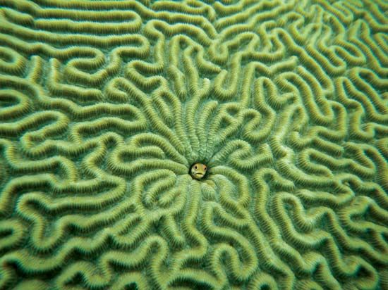
Coral islands are composed of organic material derived from the skeletons of corals and associated marine life. They are typically low-lying, often rising only a few meters above sea level, and consist largely of calcium carbonate. They form through two primary processes:8
- Uplift: Crustal movements raise a submarine reef system above sea level, creating rocky, plateaulike features.8
- Accretion: Storms, waves, and currents break off reef rock and deposit it as shoals, which are then cemented together and colonized by plants and animals.8
Notably, Charles Darwin proposed that many atolls represent the final stage of a process where a reef grows upward around a sinking, extinct volcanic island until the volcano disappears from view.9
Who was Abel Janszoon Tasman and what did he discover?
Abel Janszoon Tasman (c. 1603–1659) was a prominent Dutch navigator and explorer employed by the Dutch East India Company. He is recognized as the first European to sight several major Pacific territories during his ambitious voyages in the Southern Hemisphere.11
His primary discoveries include:
- Tasmania: In 1642, he reached the island he named Van Diemen’s Land, now known as Tasmania.11
- New Zealand: He sighted the South Island of New Zealand in December 1642, initially naming it Staten Landt.11
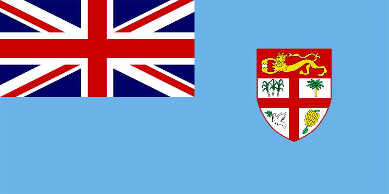
- Tonga and Fiji: During his 1642–43 expedition, he discovered Tonga in January 1643 and the Fiji Islands in February 1643.11
Additionally, his 1644 voyage along the northern and western coasts of Australia helped establish that the continent was separate from the hypothetical southern landmass, though he failed to identify the Bass Strait or the Torres Strait during his explorations.11
Sources
- ʿEua — Encyclopædia Britannica
- Tongatapu Group — Encyclopædia Britannica
- Haʿapai Group — Encyclopædia Britannica
- Tonga - Relief — Encyclopædia Britannica
- Tonga — Encyclopædia Britannica
- coral island — Encyclopædia Britannica
- Pacific Ocean - Islands — Encyclopædia Britannica
- volcanism — Encyclopædia Britannica
- Vanuatu - Land — Encyclopædia Britannica
- atoll — Encyclopædia Britannica
- Abel Tasman — Encyclopædia Britannica
- Tasman — Merriam-Webster
Published on · 3 min read