Gandak River
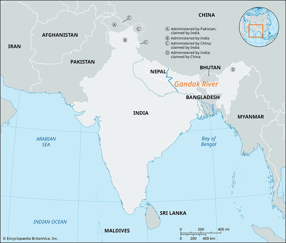
The Gandak River is a significant waterway located in central Nepal and northern India. It originates in the Great Himalaya Range through the confluence of…
What is Gandak River?
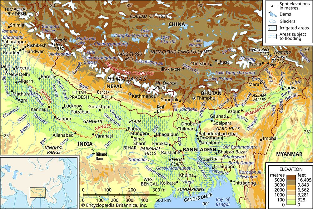
The Gandak River is a significant waterway located in central Nepal and northern India. It originates in the Great Himalaya Range through the confluence of the Kali and Trisuli rivers. From this junction to the Indian border, the river is known as the Narayani.1
The river flows southwest into India before turning southeast, traversing the Indo-Gangetic Plain along the border of Uttar Pradesh and Bihar. After a winding course of approximately 475 miles (765 km), it empties into the Ganges River opposite Patna/Ganges-River) opposite Patna. Additionally, the Burhi (“Old”) Gandak flows parallel to the east of the main river in an older channel before joining the Ganges near Munger.1
How do the Himalayas influence the flow of rivers in this region?
The Himalayas exert a profound influence on the drainage systems of South Asia, acting as both a physical barrier and a primary source of water.34
Hydrological Influence
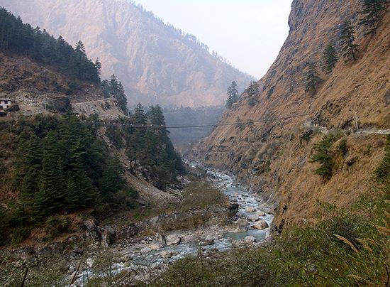
Many major rivers, including the Indus, Ganges, and Brahmaputra, are considered older than the mountains themselves. As the Himalayas were uplifted, these rivers maintained their courses by cutting deep transverse gorges, often at a rate matching the mountain’s rise. Consequently, these rivers drain both the southern and northern slopes of the range.3
Climatic and Glacial Impact
The mountains function as a critical climatic divide. By obstructing the southwesterly monsoon winds, the range forces them to release moisture as heavy rain and snow on the southern slopes, which feeds the river systems. Additionally, glaciers at high elevations provide a consistent supply of meltwater, ensuring that Himalayan-fed rivers have more stable seasonal flows compared to rain-fed peninsular rivers.42356
Sediment and Landscape
The intense erosive energy of these rivers, combined with the ongoing uplift of the mountains, results in the transport of immense quantities of sediment to the Indo-Gangetic Plain, where it is deposited to form vast alluvial plains.75
What role does the Ganges River play in the geography of India?
The Ganges River is central to the geography and history of India, serving as the primary waterway of the northern Indo-Gangetic Plain. Rising in the Himalayas, it drains approximately one-fourth of India’s territory, supporting a vast, densely populated basin that has served as the cradle for successive civilizations, including the Mauryan and Mughal empires.9810
Geographical and Economic Significance
The river’s course, stretching 1,560 miles (2,510 km), flows from northwest to southeast, fed by Himalayan meltwater and monsoon rains. This consistent flow makes the Ganges vital for irrigation, supporting the production of cash crops like sugarcane and cotton through extensive canal systems. The plain itself is composed of deep, fertile alluvium, providing the foundation for India’s agricultural heartland.91112138
Cultural and Religious Role
Beyond its physical utility, the Ganges is revered as the holiest river in Hinduism. Numerous cities, such as Varanasi and Haridwar, are major centers of pilgrimage where devotees perform sacred rituals.10
How does the South Asian monsoon affect river water levels?
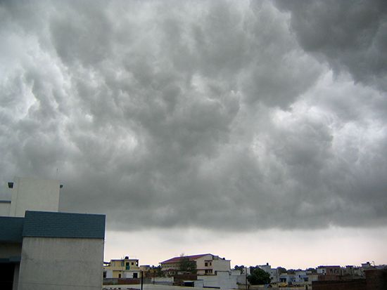
The South Asian monsoon is the primary driver of seasonal fluctuations in river water levels across the region, bringing the majority of annual rainfall between May and September.1214
Impact on Water Levels
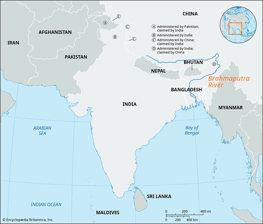
- Seasonal Surge: During the summer monsoon months, the influx of heavy rainfall leads to a massive increase in the volume of water carried by major river systems, such as the Ganges and Brahmaputra.1516
- Flooding: The enormous discharge, particularly in the Brahmaputra valley and the Ganges delta, frequently results in extensive annual flooding. Rivers like the Kosi are particularly prone to overflowing and shifting their courses when unable to discharge their peak monsoon volumes.168
- Regional Variation: The intensity of these water level changes varies by location. While the Himalayas help mitigate rain-shadow effects by forcing monsoon winds to rise and release moisture, the amount of rainfall—and thus the impact on river levels—decreases significantly from the eastern regions toward the west.717
Unlike exclusively rain-fed peninsular rivers, Himalayan-fed rivers benefit from a more consistent flow due to glacier meltwater, which helps stabilize levels outside of the monsoon season.8
Sources
- Gandak River — Encyclopædia Britannica
- Ghaghara River — Encyclopædia Britannica
- Himalayas - Drainage of the Himalayas — Encyclopædia Britannica
- Himalayas - Geologic history — Encyclopædia Britannica
- river - Environments of deposition — Encyclopædia Britannica
- Himalayas - Climate of the Himalayas — Encyclopædia Britannica
- climate of India - The southwest monsoon — Encyclopædia Britannica
- India - The Ganges-Brahmaputra river system — Encyclopædia Britannica
- Ganges River — Encyclopædia Britannica
- Ganges River - People — Encyclopædia Britannica
- Ganges River - Irrigation — Encyclopædia Britannica
- Ganges River - Climate and hydrology — Encyclopædia Britannica
- India - The Indo-Gangetic Plain — Encyclopædia Britannica
- South Asia - Geography — Encyclopædia Britannica
- Brahmaputra River - Hydrology — Encyclopædia Britannica
- South Asia: Top Questions — Encyclopædia Britannica
- India - The southwest monsoon — Encyclopædia Britannica
Published on · 3 min read