Last Glacial Maximum
The Last Glacial Maximum (LGM) was a geologic interval occurring between 29,000 and 19,000 years ago, marking the peak of ice sheet and glacier coverage…
What is the Last Glacial Maximum?
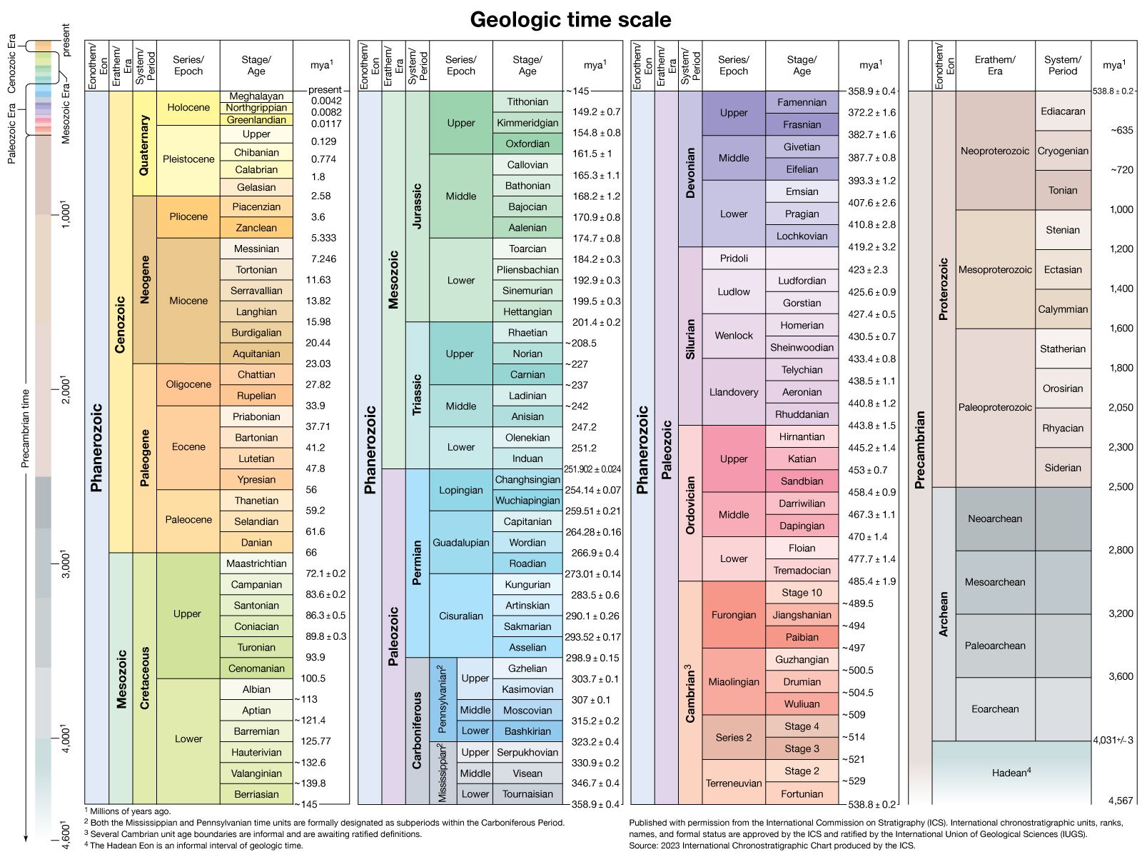
The Last Glacial Maximum (LGM) was a geologic interval occurring between 29,000 and 19,000 years ago, marking the peak of ice sheet and glacier coverage during the final stage of the Pleistocene Epoch.1
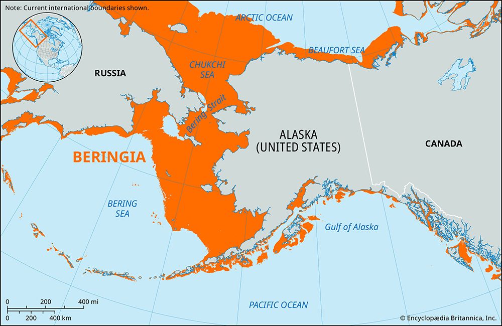
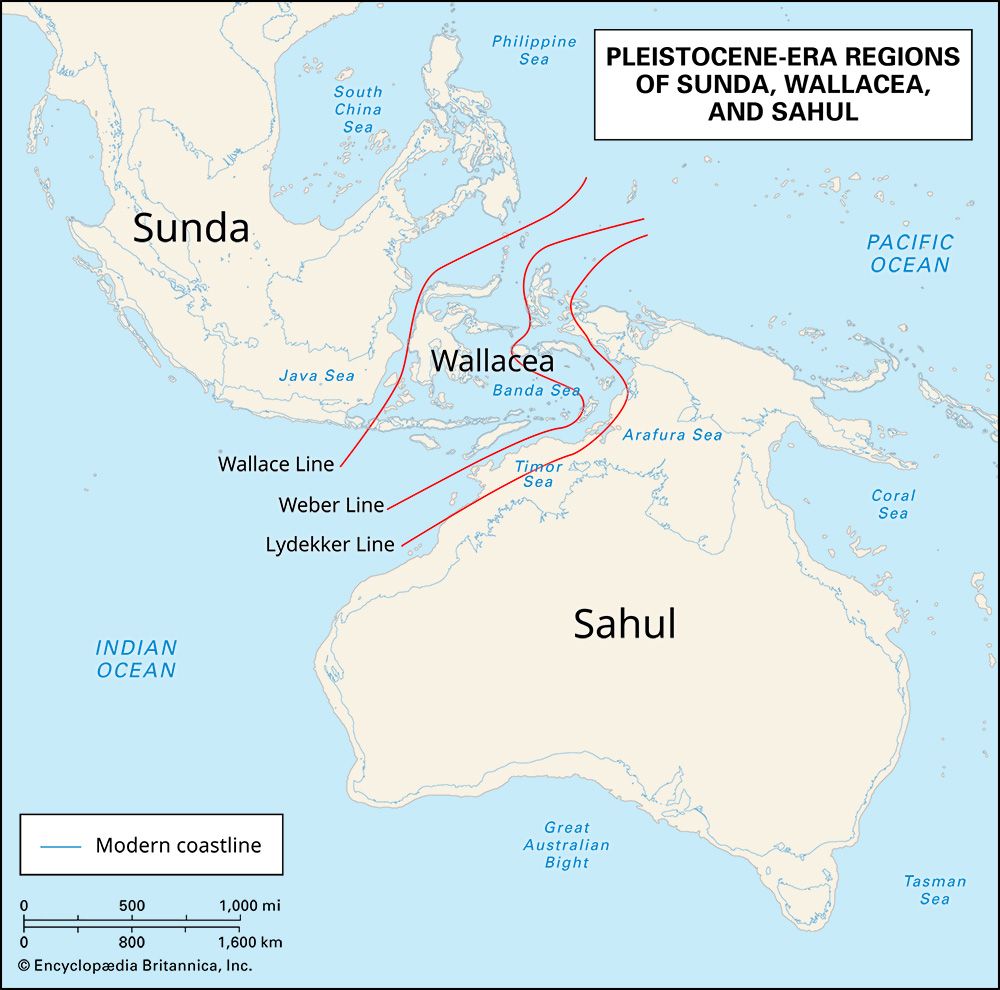
During this period, approximately 8 percent of Earth’s surface was covered in ice, causing sea levels to drop about 125 meters (410 feet) below modern levels. This exposure of continental shelves created land bridges, such as the Bering Land Bridge, which allowed for species migration.1
Global cooling, likely triggered by Milankovich cycles, resulted in arid conditions, expanded deserts, and significantly lower concentrations of atmospheric carbon dioxide. Average surface temperatures in unglaciated regions were 5–6 °C (9–10.8 °F) colder than today, forcing many plants and animals to shift their ranges toward the Equator.1
When did the Last Glacial Maximum occur?
The Last Glacial Maximum (LGM) was a geologic interval that occurred during the final stage of the Pleistocene Epoch. While sources provide slightly varying windows for this peak, it is generally cited as occurring between 29,000 and 19,000 years ago, with some scientific contexts noting its culmination around 21,000 years ago.213
This period represented the most recent time in which the geographic extent of ice sheets and glaciers reached their peak. The interval concluded approximately 19,000 years ago, initiating a warming process that led to the retreat of ice and the eventual transition into the Holocene Epoch.123
What was Earth’s climate like during the Last Glacial Maximum?
During the Last Glacial Maximum (LGM), Earth’s climate was significantly colder and more arid than it is today. Global annual mean temperatures in unglaciated regions were approximately 4–6 °C (7–10.8 °F) lower than modern averages, with cooling being most pronounced at higher latitudes.135
This period was characterized by several distinct environmental conditions:
- Atmospheric Composition: Ice cores indicate that concentrations of atmospheric carbon dioxide—a key greenhouse gas—were significantly lower, potentially dropping to 180 parts per million, which contributed to the global cooling.1
- Aridity and Dust: The climate was generally dry, leading to reduced plant coverage and the expansion of deserts. This aridity, combined with the movement of glaciers, generated large amounts of atmospheric dust that reinforced cooling, particularly in tropical regions.1
- Circulation Changes: Growing ice sheets diverted northward-moving ocean currents and weakened deep ocean circulation, further altering global climate patterns.1
These harsh conditions forced many plants and animals to shift their ranges toward the Equator to survive.15
How did the Last Glacial Maximum affect the size and location of ice sheets?
During the Last Glacial Maximum (LGM), Earth experienced a significant expansion of ice sheets, which covered approximately 8 percent of the planet’s total surface. This period was marked by the presence of massive continental ice sheets that occupied vast regions of the Northern Hemisphere.6
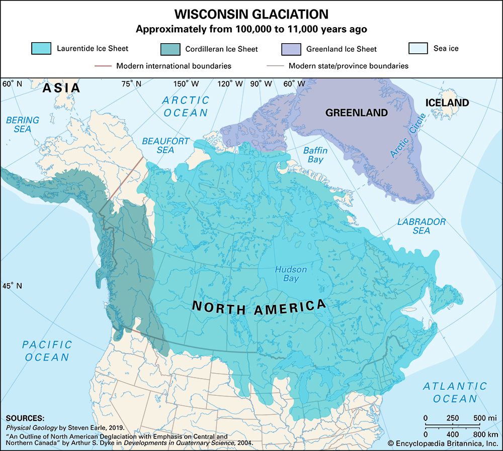
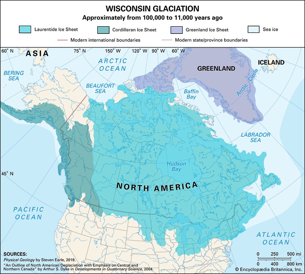
In North America, the landscape was dominated by the Laurentide Ice Sheet, which rivaled the modern Antarctic Ice Sheet in size and extended across more than 13,000,000 square km (5,000,000 square miles) of Canada and the northern United States. Additionally, the Cordilleran Ice Sheet stretched from Alaska to northern Washington and east to the Rocky Mountains.1
In Eurasia, the largest contiguous mass of ice was the Scandinavian Ice Sheet, which reached as far south as latitude 48° N and covered roughly 6,600,000 square km (2,500,000 square miles). Other ice sheets blanketed the British Isles, parts of northeastern Europe, and north-central Siberia, while the Antarctic Ice Sheet expanded to cover the entire continent. These massive ice accumulations contributed to global sea levels being approximately 125 meters (410 feet) lower than they are today.16
Sources
- last glacial maximum — Encyclopædia Britannica
- How long was the Ice Age? — Encyclopædia Britannica
- Global warming - Climatic variation since the last glaciation — Encyclopædia Britannica
- Pleistocene Epoch - Ice-core records — Encyclopædia Britannica
- Climate change - The Last Glacial Maximum — Encyclopædia Britannica
- ice sheet — Encyclopædia Britannica
- North America - The past 2.5 million years — Encyclopædia Britannica
- Quaternary - Landforms — Encyclopædia Britannica
- Arctic - Other glacier groups — Encyclopædia Britannica
Published on · 3 min read