Gujarat Plains
The Gujarat Plains serve as a vital economic hub in western India, characterized by a robust mix of agriculture and manufacturing.
What are the main economic activities and industries in the Gujarat Plains?
The Gujarat Plains serve as a vital economic hub in western India, characterized by a robust mix of agriculture and manufacturing.1
Agriculture
Agriculture remains the economic mainstay of the region. The plains are highly productive, contributing approximately one-sixth of India’s cotton and two-fifths of its tobacco. Other significant agricultural outputs include:1
Industry
The region is among the most industrially developed areas in the country. Key manufacturing sectors include:1
- Textiles: Ahmadabad is a primary center for the cotton textile industry.1
- Chemicals and Petrochemicals: Vadodara hosts a major petroleum refinery and is a hub for petrochemical and pharmaceutical production.12
- Heavy Industry: The region produces diesel and gasoline engines, pumps, electrical equipment, iron and steel, and cement.12
- Construction Materials: The area is a producer of clay building products.1
Industrial success is supported by favorable investment, resource availability, and a stable labor environment influenced by the Gandhian approach to industrial relations.2
What are the major soil types found in the Gujarat Plains and how do they impact agriculture?
The Gujarat Plains feature a diverse range of soil types that significantly influence the region’s agricultural productivity. The primary soil categories include:
- Black Soils: Found predominantly in the west and interior regions, these soils—often called regur or “black cotton soils”—are derived from trap lava. Their high clay content makes them highly moisture-retentive, which is beneficial for crops, though they develop wide cracks during the dry season. Because they are rich in iron and possess a granular structure, they are well-suited for growing cotton.13
- Alluvial Deposits and Sandy Loams: These are common throughout the plains. As transported soils, they are deposited by river systems such as the Sabarmati, Mahi, Narmada, and Tapi. These fertile deposits support a variety of crops, including cereal grains, peanuts, and oilseeds.14
- Saline Soils: Found in specific areas, including parts of the coast and near the desert fringes, these soils can hamper agricultural activity due to high salt content in both the soil and local water sources.45
While these soils support a robust agricultural economy, farmers must navigate challenges like salinity and variable terrain to maintain high yields of cotton, tobacco, and food grains.15
What are the major rivers that flow through the Gujarat Plains?
The Gujarat Plains are drained by several significant river systems that flow through the region, contributing to its fertile alluvial landscape. The major rivers include:
- Sabarmati River: A key waterway that traverses the plains and supports the surrounding agricultural lands.1
- Mahi River: This river flows through the region, contributing to the sedimentation that forms the plains’ fertile soil.1
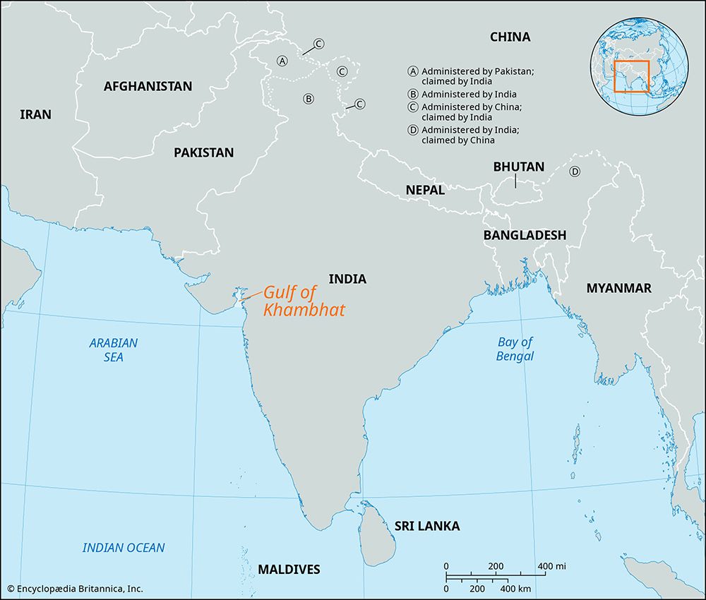
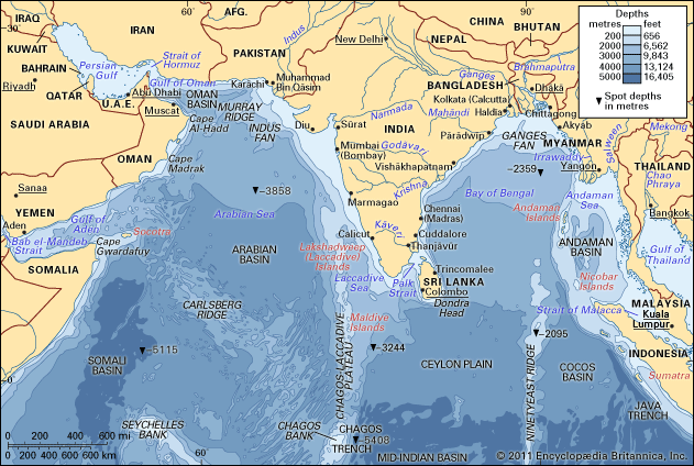
- Narmada River: Crossing southeastern Gujarat from east to west, the Narmada is a major river that empties into the Gulf of Khambhat.16
- Tapi (Tapti) River: Like the Narmada, the Tapi flows from east to west across the southeastern part of the state before reaching the Gulf of Khambhat.16
- Ambika River: This river also serves as a drainage channel for the plains.1
Due to the nature of the terrain and the flow of these rivers, the region is prone to heavy flooding.1
What is the geographical location and extent of the Gujarat Plains in India?
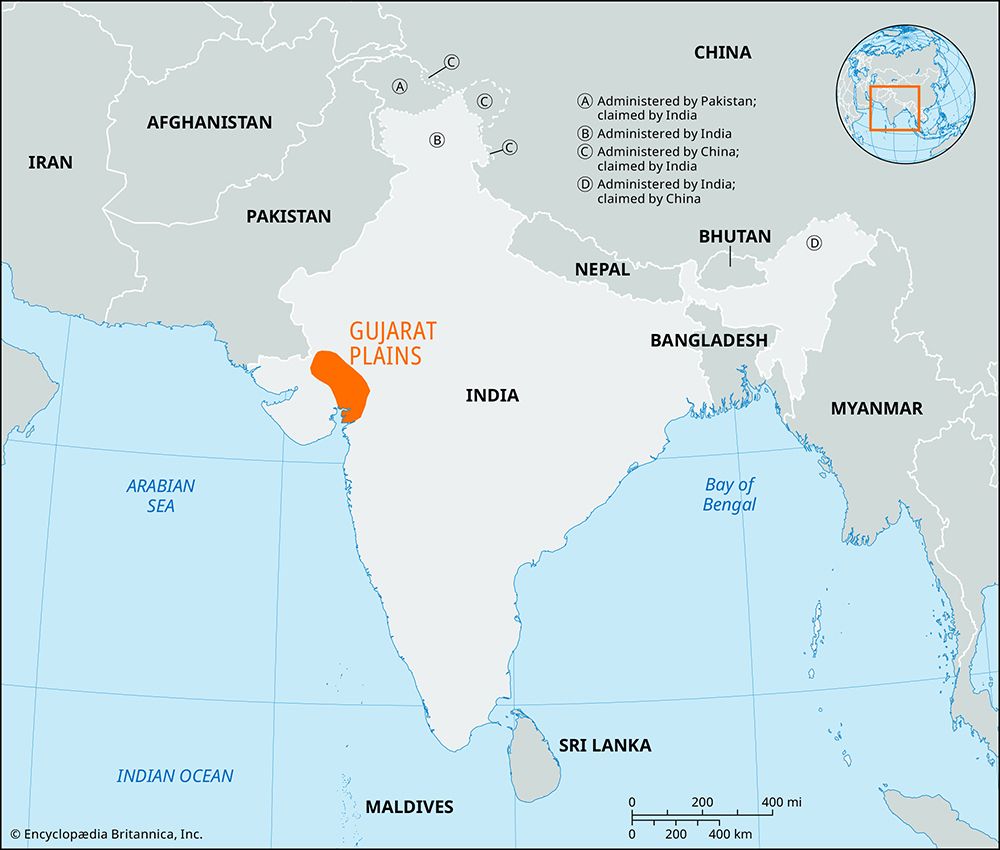
The Gujarat Plains are a vast region located in central Gujarat state, western India. Covering an area of approximately 12,800 square miles (33,000 square km), the region acts as a projection of the alluvial Sindhu-Ganges Plains, characterized by a gentle slope from north to south and an average elevation of about 80 feet (25 metres).1
The geographical boundaries of the plains are defined as follows:
- North: The desert fringe of Rajasthan state.1
- East: The hills of eastern Gujarat.1
- South: The Arabian Sea.1
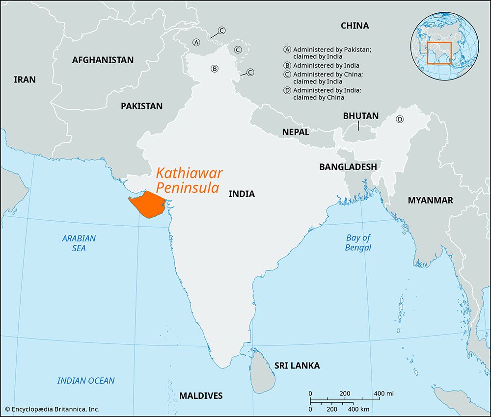
- West: The Kathiawar Peninsula.1
Formed by extensive sedimentation during the Pleistocene epoch, the region is a fertile landscape drained by several major rivers, including the Sabarmati, Mahi, Narmada, Tapi, and Ambika.1
Sources
- Gujarat Plains — Encyclopædia Britannica
- Gujarat - Manufacturing and labor — Encyclopædia Britannica
- India - Soils — Encyclopædia Britannica
- India - Black soils — Encyclopædia Britannica
- Gujarat - Agriculture and milk production — Encyclopædia Britannica
- Gujarat - Relief, drainage, and soils — Encyclopædia Britannica
- India - Inland regions — Encyclopædia Britannica
Published on · 3 min read