Hardanger Plateau
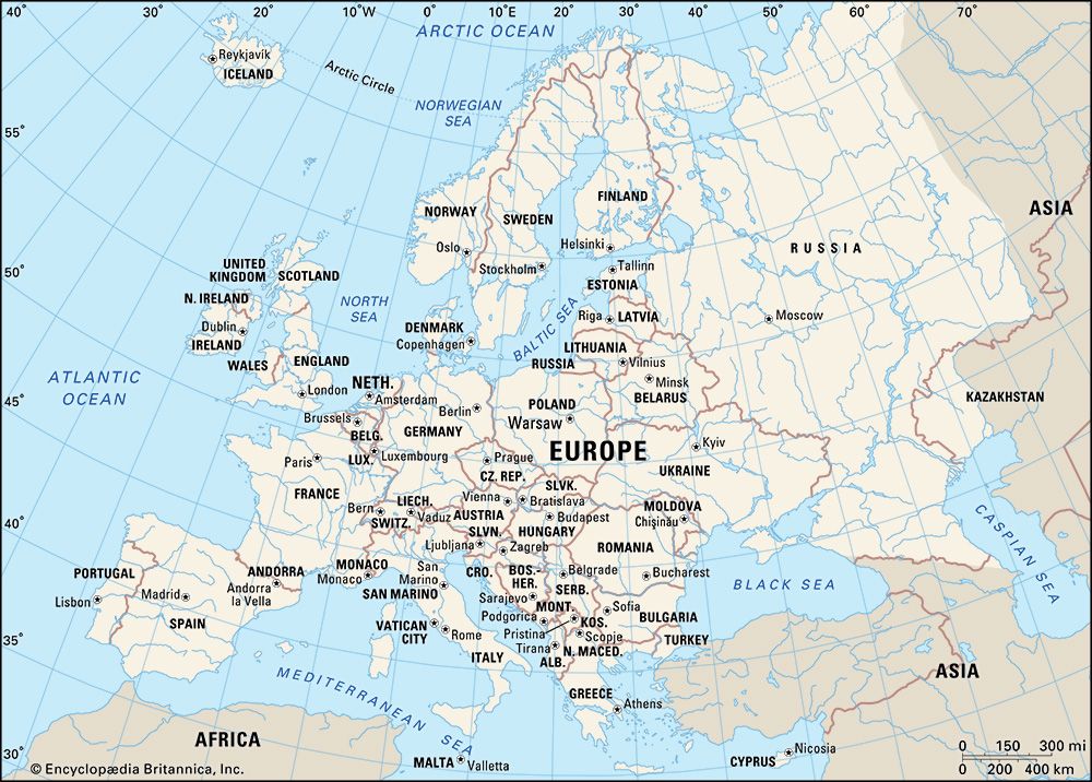
The Hardanger Plateau (Hardangervidda) is a vast plateau located in southwestern Norway. Recognized as the largest peneplain in Europe, it is characterized…
What is Hardanger Plateau?
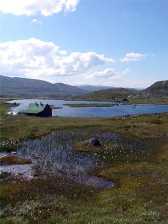
The Hardanger Plateau (Hardangervidda) is a vast plateau located in southwestern Norway. Recognized as the largest peneplain in Europe, it is characterized by an eroded, relatively level landscape with an average elevation of approximately 3,000 to 3,500 feet above sea level.12
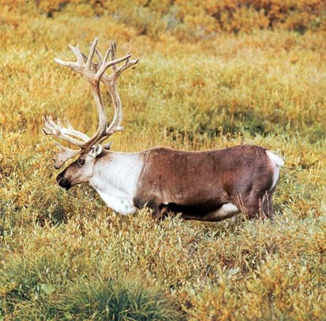
The region is defined by numerous lakes and rivers that drain westward, creating dramatic waterfalls such as the Vørings Falls. Historically, the plateau has served as a vital habitat for wild reindeer, though populations have faced recent declines. In 1979, a significant portion of the area was designated a national park to preserve its unique environment. The plateau is also a key transit corridor, crossed by a major east-west highway and the Oslo–Bergen Railroad.13
How do glaciers shape the landscape of Norway?
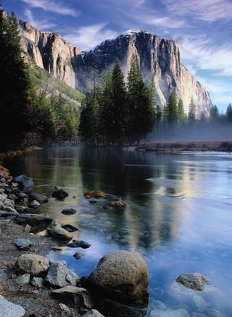
During the Quaternary Period, repeated glaciation profoundly reshaped Norway’s landscape through intense scouring and erosion. As glaciers moved through existing V-shaped valleys, their immense weight and grinding action carved them into the deep, U-shaped fjords that define the western coast.24
The process involved several key mechanisms:
- Erosion and Abrasion: Glaciers stripped away preglacial soil and debris, using these materials to abrade and polish the underlying bedrock, creating streamlined “whaleback” forms the underlying bedrock, creating streamlined “whaleback” forms.24
- Valley Modification: Glacial flow deepened valleys and created rock-floored basins. In many fjords, such as Sogn Fjord, this resulted in extreme depths, often exceeding 1,300 meters.4
- Deposition: Enormous quantities of soil, gravel, and stone were transported by glacial action, with debris deposited as far south as present-day Denmark and Germany.2
While some debate exists regarding the extent to which glaciers created these features versus merely modifying pre-existing tectonic valleys, the evidence of glacial scouring remains visible across approximately 40 percent of Norway’s exposed bedrock.24
What are the main characteristics of a fjord?
A fjord is a long, narrow arm of the sea that forms when a glaciated valley is inundated by the ocean after the ice melts. These features are defined by several distinct characteristics:5
- U-Shaped Morphology: Fjords are characteristically U-shaped, a result of intense glacial erosion. Their walls often rise vertically for hundreds of feet from the water’s edge.54
- Extreme Depth: Many fjords are exceptionally deep, often extending thousands of feet below sea level. They are typically deeper in their middle and upper reaches than at their seaward ends.54
- Rock Thresholds: At the mouth of a fjord, the floor often rises to create a shallow rock threshold or sill. This feature can restrict water circulation, sometimes leading to stagnant conditions in the deep basin behind it.546
- Topography: Fjords often feature winding channels, sharp corners, and steep sides. Because they lack extensive shallow areas, they provide limited space for salt marshes, though they are often fed by rivers that may form deltas at the fjord’s head.56
What other national parks are found in Norway?
Norway features a diverse network of protected areas, including several prominent national parks that showcase the country’s varied terrain, from mountainous peaks to northern plateaus. Notable examples include:
- Rondane National Park: Located in south-central Norway, this park is characterized by its mountainous terrain and impressive peaks, such as Rondeslottet. It serves as a habitat for wild reindeer and various bird species.
- Øvre Anar River National Park: Situated in the northern Finnmark Plateau, this is one of Norway’s largest national parks. Its landscape consists of birch and pine forests, bogs, and lakes, providing winter grazing grounds for domesticated reindeer.
- Øvre Divi Valley National Park: Established in 1971 in Troms county, this park features a mix of lowland pine and birch forests, mountain plateaus, and wetlands. It supports diverse wildlife, including lynx, wolverines, and wolves.
While the Jotunheim Mountains are a famous mountain range known for hiking and climbing, they are distinct from the national parks listed above.
Sources
- Hardanger Plateau — Encyclopædia Britannica
- Norway - Relief — Encyclopædia Britannica
- Hardanger Fjord — Encyclopædia Britannica
- glacial landform - Erosional landforms of continental glaciers — Encyclopædia Britannica
- fjord — Encyclopædia Britannica
- estuary - Fjords — Encyclopædia Britannica
- fjärd — Encyclopædia Britannica
- Rondane National Park — Encyclopædia Britannica
- Jotunheim Mountains — Encyclopædia Britannica
- Øvre Anar River National Park — Encyclopædia Britannica
- Øvre Divi Valley National Park — Encyclopædia Britannica
- Oslo Fjord — Encyclopædia Britannica
Published on · 3 min read