Hooghly River
The Hooghly River (also spelled Hugli) is a vital waterway in West Bengal, India, that supports a heavily industrialized region and serves as a critical…
What are the major cities and ports located along the Hugli River?
The Hooghly River (also spelled Hugli) is a vital waterway in West Bengal, India, that supports a heavily industrialized region and serves as a critical maritime corridor.12
Major Cities and Industrial Centers
The riverbanks are densely populated and host numerous urban centers, many of which are historically linked to the region’s jute and engineering industries. Key cities and towns located along or near the river include:13
- Kolkata (Calcutta): The primary city on the river, serving as a major economic and cultural hub.14
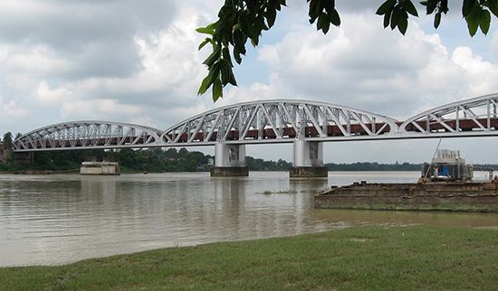
- Haora (Howrah): Located on the west bank opposite Kolkata, it is a major railway terminal and industrial center connected to Kolkata by several bridges.14
- Other notable towns: Bally, Baranagar, Chandernagore, Shrirampur, Budge Budge, Barrackpore, Panihati, and Titagarh.5
Ports and Navigation
The river is navigable by oceangoing ships up to Kolkata, though this requires constant dredging due to siltation. Major port facilities include:1
- Kolkata Port: Historically the preeminent cargo handler for the region.4
- Haldia: A significant port located approximately 40 miles downstream from Kolkata, which handles a large portion of India’s foreign trade.4
- Diamond Harbour: An important steamer stop that houses the customhouse and harbourmaster’s office for vessels navigating toward Kolkata.6
What role does the Hugli River play in modern transportation and commerce in India?
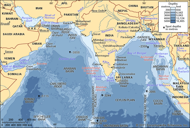
The Hooghly River serves as a vital maritime corridor in northeastern India, providing essential access to Kolkata from the Bay of Bengal. Despite challenges with siltation, the river remains navigable for oceangoing vessels, a feat maintained through constant dredging and the natural scouring effect of the tidal bore.1
In terms of commerce, the river is the backbone of a heavily industrialized region. It supports a significant portion of India’s foreign trade through the port of Kolkata and the downstream port of Haldia. Furthermore, the riverbanks host a dense concentration of jute-processing mills and engineering industries that have historically driven the local economy.46
The river also functions as a critical transportation link, with major bridges—such as the Rabindra Setu—connecting Kolkata to Haora and the broader Indian hinterland. While the river’s navigation is complicated by silt deposits from tributaries like the Rupnarayan River, it remains a cornerstone of regional infrastructure.415
What is the geographical location and course of the Hugli River in India?
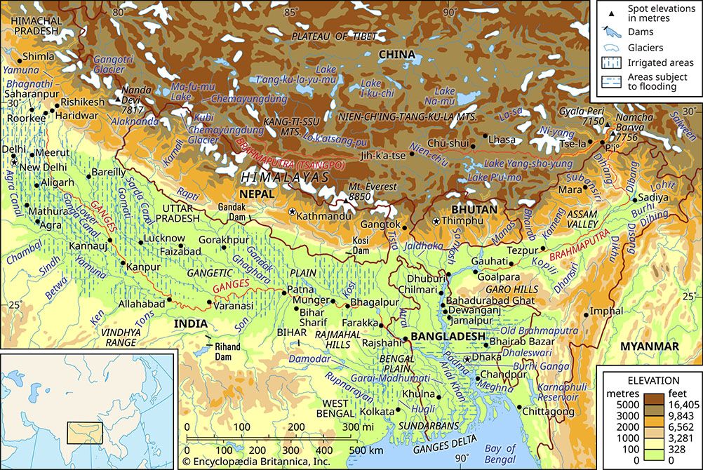
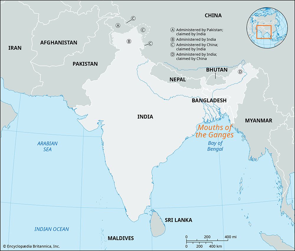
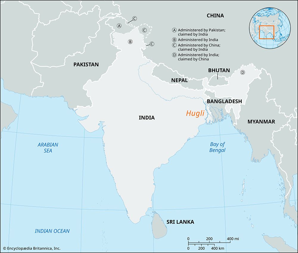
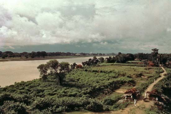
The Hugli River (also spelled Hooghly) is a major distributary of the Ganges River located in the state of West Bengal, India. It serves as the westernmost channel of the Ganges delta and provides a critical maritime route to the city of Kolkata from the Bay of Bengal1.128
Course and Formation
The river is formed at Nabadwip by the junction of the Bhagirathi and Jalangi rivers. From this point, it flows generally southward for approximately 120 to 160 miles before emptying into the Bay of Bengal.19
Key features of its course include:
- Tributaries: The river receives flow from several streams rising in the Chota Nagpur plateau, including the Ajay, Damodar, Rupnarayan, and Haldi rivers.12
- Navigation: While the upper reaches are heavily silted, the river remains navigable to Kolkata for oceangoing vessels, aided by constant dredging and the scouring action of a tidal bore.1
- Estuary: South of Kolkata, the river flows toward the Rupnarayan estuary, eventually widening into an estuary between 3 and 20 miles wide as it enters the Bay of Bengal.1
How has the course of the Hugli River changed over time due to natural and human-made factors?
The course of the Hugli River has been subject to significant changes over time, a characteristic common to the rivers within the Ganges delta region. These shifts are driven by a combination of natural geological processes and human interventions.1
Natural Factors
The delta region is defined by the constant movement of sediment, which leads to the frequent alteration of river channels. The Ganges River system, which includes the Hugli as a western distributary, carries one of the world’s highest suspended sediment loads. This massive deposition of clays, sands, and marls naturally causes channels to migrate or become silted over time. While the western coastline of the delta has remained relatively stable since the 18th century, the internal river networks are highly dynamic, with new lands and islands—known as chars—constantly forming and reshaping the landscape.1
Human-Made Factors
Human activity has increasingly influenced the river’s flow and navigability, particularly in the modern era:
- Siltation and Dredging: The upper reaches of the Hugli have become heavily silted, threatening its role as a maritime corridor. To maintain access to the port of Kolkata, authorities rely on constant dredging and the natural scouring effect of the tidal bore.10
- Water Diversion: Negotiations have been conducted with Bangladesh regarding the diversion of water from the Ganges. The objective of these efforts is to increase water flow into the Hugli to help flush out silt and prevent the river from becoming unnavigable at Kolkata.10
Sources
- Hooghly River — Encyclopædia Britannica
- Hugli — Merriam-Webster
- list of cities and towns in India - West Bengal — Encyclopædia Britannica
- Kolkata - Transportation — Encyclopædia Britannica
- Rupnarayan River — Encyclopædia Britannica
- Kolkata - Manufacturing — Encyclopædia Britannica
- Diamond Harbour — Encyclopædia Britannica
- Ganges River - Physiography — Encyclopædia Britannica
- Ganges delta — Encyclopædia Britannica
- river - Morphology of deltas — Encyclopædia Britannica
- Bhagirathi River — Encyclopædia Britannica
Published on · 4 min read