Inn River
The Inn River is a major right-bank tributary of the Danube River. Spanning approximately 317 miles (510 km) in length, it serves as a significant waterway…
What is the Inn River and where is it located in Europe?
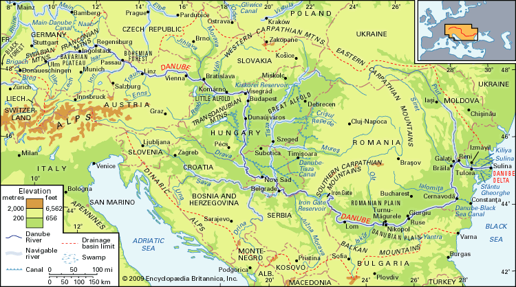
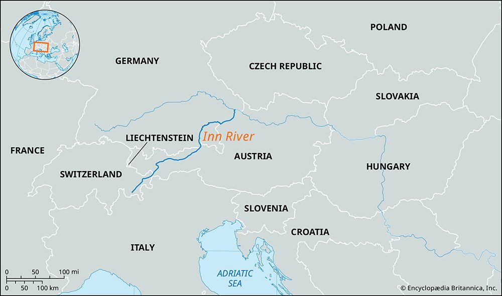
The Inn River is a major right-bank tributary of the Danube River. Spanning approximately 317 miles (510 km) in length, it serves as a significant waterway in Central Europe.1
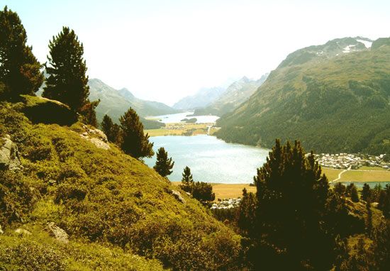
The river rises in Lake Lughino in Switzerland, where its course is known as the Engadin. From there, it flows northeast across western Austria, passing through the upper and lower Inn valleys, including the city of Innsbruck. Upon entering Bavaria, Germany, the river continues north and east. It eventually forms a portion of the border between Austria and Germany before reaching its confluence with the Danube at Passau1.
Beyond its geographical significance, the river supports agricultural regions along its middle and lower sections and is utilized for hydroelectric power generation.1
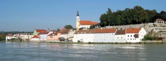
What are the major cities and regions that the Inn River flows through?
The Inn River flows through several distinct regions and cities as it travels from the Swiss Alps to its confluence with the Danube River.
Key Regions and Valleys
- Engadin: The river’s course through Switzerland is known as the Engadin.1
- Oberinntal (Upper Inn Valley): Located in Austria, this narrow valley lies above the town of Zirl.1
- Unterinntal (Lower Inn Valley): A wider section of the river in Austria that includes the city of Innsbruck.1
- Bavarian Alps: Near Kufstein, the river cuts between the Bavarian Alps to the west and the Kaisergebirge to the east.1
Major Cities and Locations
- Innsbruck: The capital of the Austrian federal state of Tirol, situated at the mouth of the Sill River.13
- Kufstein: A notable point where the river narrows as it passes through the mountains.1
- Passau: Located in Germany, this city marks the confluence where the Inn joins the Danube.1
The river also flows through Bavaria in southern Germany, where it receives the Salzach River before forming part of the border between Austria and Germany.1
How long is the Inn River and what are its main tributaries?
The Inn River is 317 miles (510 km) long. While some sources cite a length of 320 miles (515 km), the Britannica record specifies 317 miles.12
Regarding its tributaries, the Salzach River is identified as the Inn’s major tributary. The river receives the waters of the Salzach after flowing into Bavaria, Germany, before eventually reaching its confluence with the Danube River at Passau.1
How does the Inn River contribute to hydroelectric power generation in the region?
The Inn River plays a significant role in regional energy production by being harnessed at various points along its course for hydroelectric power.
While the river serves agricultural purposes along its middle and lower sections, its steep gradients and consistent flow through the Alps make it an ideal resource for generating electricity. By utilizing dams and power stations, the river contributes to the renewable energy infrastructure of the regions it traverses, including parts of Austria and Germany.1
Sources
- Inn River — Encyclopædia Britannica
- Inn — Merriam-Webster
- Innsbruck — Encyclopædia Britannica
- Bavarian Alps — Encyclopædia Britannica
Published on · 2 min read