Jökulsá Á Fjöllum
Jökulsá á Fjöllum is a river located in northeastern Iceland. It is the country's second-longest river and possesses the largest drainage basin, covering…
What is Jökulsá á Fjöllum?
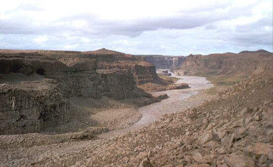
Jökulsá á Fjöllum is a river located in northeastern Iceland. It is the country’s second-longest river and possesses the largest drainage basin, covering 3,070 square miles (7,950 square km).1
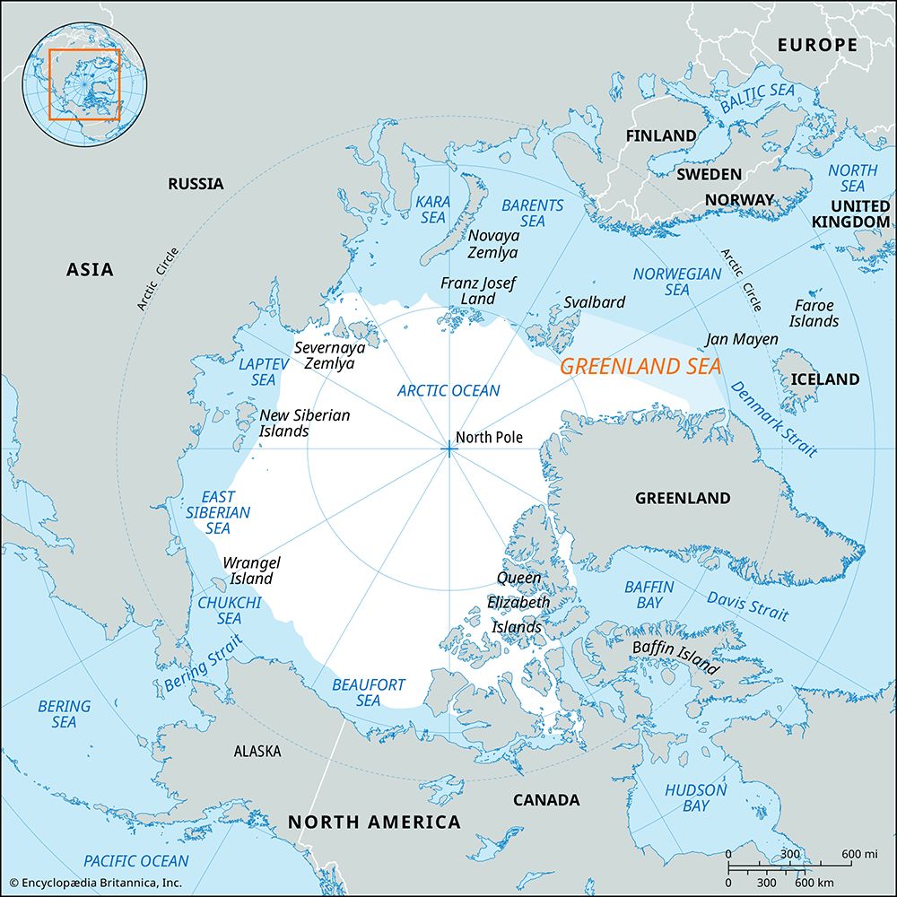
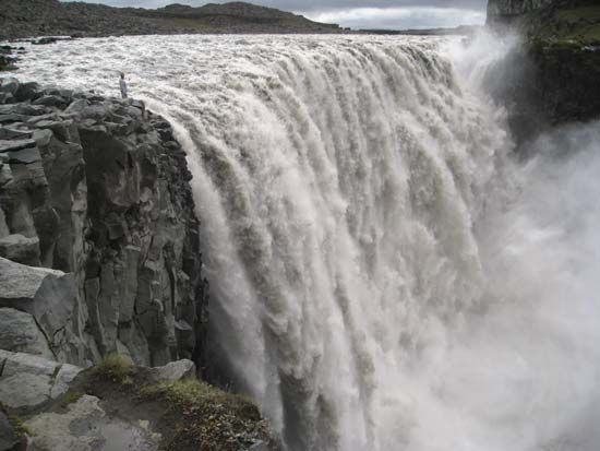
Fed by the northern meltwaters of the Vatna Glacier, the river flows northward for 128 miles (206 km) before reaching Axar Fjord, an arm of the Greenland Sea. Along its course, the river skirts the eastern edge of the Ódáðahraun lava field and features several waterfalls, most notably Dettifoss. Standing 144 feet (44 m) tall, Dettifoss is recognized for having the greatest hydroelectric potential on the island.1
What is a jökulhlaup and how does it occur?
A jökulhlaup (Icelandic for “glacier run”) is a sudden and often catastrophic glacier outburst flood. These events occur when water, stored within or behind a glacier, is released rapidly.3
The process typically begins when internal drainage within a glacier is blocked by plastic flow, causing water to accumulate. Eventually, the water finds a narrow path to escape. As it flows, the heat from the water melts the surrounding ice, enlarging the conduit. This creates a feedback loop: a larger conduit allows for faster water flow, which causes more melting and further enlargement, leading to a sudden and massive discharge of water.3
In regions like Iceland, these floods are frequently triggered by volcanic activity. For example, eruptions of Grímsvötn melt the surrounding ice to create a lake; when this lake breaks through its ice walls, it results in a jökulhlaup. While some occur regularly, others are irregular and difficult to predict.23
What makes Dettifoss one of Europe’s most powerful waterfalls?
Dettifoss, located in northeastern Iceland, is considered one of Europe’s most powerful waterfalls primarily due to its immense volume of water. It is the largest waterfall in Iceland by volume, which contributes to its status as a significant cataract.41
The waterfall is situated on the Jökulsá á Fjöllum, the island’s second-longest river, which is fed by the northern meltwaters of the Vatna Glacier. This consistent glacial water supply, combined with a vertical drop of 144 feet (44 m), gives Dettifoss the greatest hydroelectric-power potential of any location in Iceland. As with other major waterfalls, the energy generated by such a large volume of water falling over a significant height creates a powerful, turbulent flow that is characteristic of its immense scale.451
How do glaciers shape the landscape of Iceland?
Glaciers play a fundamental role in shaping the Icelandic landscape through processes of erosion and deposition. Their influence is most notably seen in the country’s relief, where glacial erosion has carved out characteristic U-shaped valleys and deepened the inner portions of fjords, creating many of the island’s natural harbors.67
Beyond sculpting valleys, glaciers contribute to the formation of Iceland’s hydrological features. Many of the country’s lakes are dammed by glacial ice, and the rivers are frequently debris-laden streams of glacial origin. The interaction between ice and the volcanic terrain is also significant; glaciers can bury volcanoes, and the heat from volcanic eruptions can trigger catastrophic jökulhlaups, which redistribute vast amounts of sediment and water across the landscape.678
Today, glaciers and cooled lava each cover approximately one-tenth of Iceland’s total area, serving as a constant reminder of the island’s geologically young and dynamic nature.9
Sources
- Jökulsá á Fjöllum — Encyclopædia Britannica
- Vatnajökull — Encyclopædia Britannica
- glacier - Glacier floods — Encyclopædia Britannica
- Detti Falls — Encyclopædia Britannica
- waterfall — Encyclopædia Britannica
- Iceland - Lakes and rivers of Iceland — Encyclopædia Britannica
- Iceland - Land — Encyclopædia Britannica
- Iceland - Relief — Encyclopædia Britannica
- Arctic - Other glacier groups — Encyclopædia Britannica
Published on · 2 min read