Klondike River
The Klondike River is a tributary of the Yukon River located in western Yukon, Canada. Rising in the Ogilvie Mountains, it flows westward for approximately…
What is Klondike River?
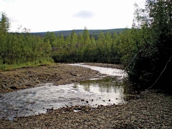
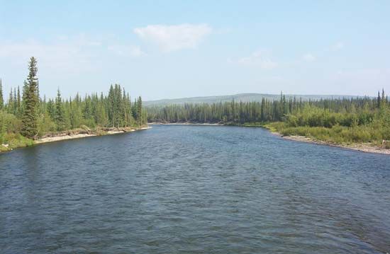
The Klondike River is a tributary of the Yukon River located in western Yukon, Canada. Rising in the Ogilvie Mountains, it flows westward for approximately 100 miles (160 km) before meeting the Yukon River at the historic settlement of Dawson.1
The river gained international fame in 1896 following the discovery of gold in Bonanza Creek and nearby tributaries, which triggered a massive influx of prospectors to the region. Once the easily accessible placer deposits were exhausted, the population declined significantly. While some mining continued via dredging and hydraulic methods, all such operations along the river’s tributaries ceased by 1966.1
What caused the Klondike Gold Rush?
The Klondike Gold Rush was triggered by the discovery of rich gold deposits on August 17, 1896. The strike occurred at Bonanza Creek, a tributary of the Klondike River in the Yukon territory of Canada.234
The discovery was made by George Washington Carmack and his two Tagish partners, Skookum Jim Mason and “Tagish Charlie”. While prospectors had been active in the region since the 1870s, previous finds had been relatively small. The exceptional richness of the Bonanza Creek deposit, however, ignited a massive influx of gold seekers—often called “stampeders”—who traveled to the area via routes through Skagway and Dyea, Alaska, or by navigating the Yukon River. This sudden migration transformed the nearby settlement of Dawson into a booming city of approximately 25,000 people at its peak.325
How did prospectors travel to the Yukon in 1896?
Prospectors traveling to the Yukon during the late 1890s utilized several challenging routes to reach the goldfields:
- The Skagway Route: Many gold seekers arrived at the coastal towns of Skagway and Dyea, Alaska. From there, they traveled north through the Coast Mountains. Many built crude boats or rafts on Bennett Lake to float downstream toward the rapids near Whitehorse. Eventually, the White Pass and Yukon Route (WP&YR) railway was constructed to connect Skagway to Whitehorse, significantly improving access.524
- The Yukon River Route: Travelers could navigate the Yukon River directly. Some vessels rounded the extremity of southwestern Alaska to enter the river’s mouth, while others utilized riverboats from Whitehorse to transport passengers and freight downstream to Dawson.5
The journey was notoriously perilous, with many prospectors succumbing to malnutrition, hypothermia, or avalanches along the way.6
What are the Ogilvie Mountains like?
The Ogilvie Mountains are a significant mountain range located in the western and northern portions of the Yukon territory in Canada. They form part of the mountainous cordilleran region of western North America, serving as one of the ranges that surround the territory’s large central plateau.7
Geographically, the Ogilvie Mountains are notable for being the headwaters of the Klondike River, which rises in the range along with its major tributary, the North Klondike. While other nearby ranges, such as the St. Elias Mountains, are characterized by some of the highest peaks in North America, the Ogilvie range is primarily recognized for its role in defining the rugged topography of the northern Yukon landscape.17
Sources
- Klondike River — Encyclopædia Britannica
- Klondike gold rush — Encyclopædia Britannica
- Bonanza Creek — Encyclopædia Britannica
- Yukon - The gold rush and territorial status — Encyclopædia Britannica
- Yukon River - History — Encyclopædia Britannica
- Skagway — Encyclopædia Britannica
- Yukon - Relief — Encyclopædia Britannica
Published on · 2 min read