Orontes River
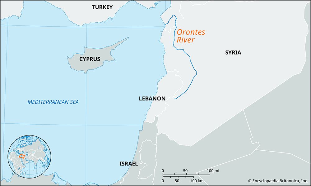
The Orontes River is a 250-mile (400-km) river located in southwestern Asia that drains a significant portion of the northern Levant into the Mediterranean…
What is Orontes River?
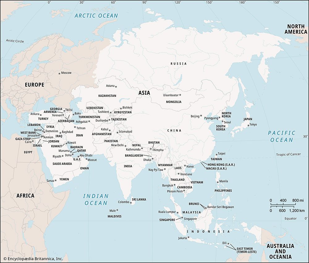
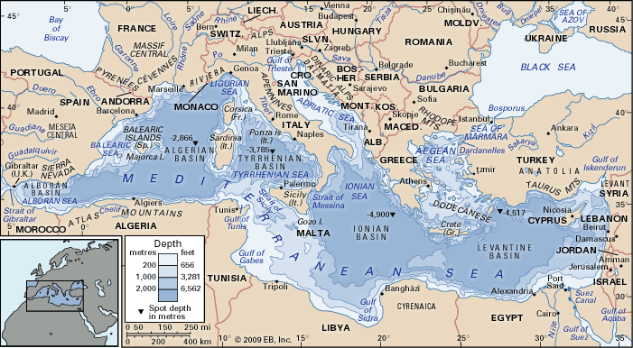
The Orontes River is a 250-mile (400-km) river located in southwestern Asia that drains a significant portion of the northern Levant into the Mediterranean Sea.1
Rising in the Al-Biqāʿ (Bekaa) Valley of central Lebanon, the river flows northward between the Lebanon and Anti-Lebanon mountain ranges into Syria. It eventually enters Turkey, where it turns westward to empty into the sea near Samandağı.12
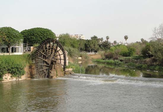
Although the river is largely unnavigable, it serves as a vital source of irrigation, particularly in the Al-Ghāb region and between the cities of Homs and Ḥamāh. Other major settlements along its banks include the ancient city of Antioch (Antakya). Its primary tributaries include the Karasu and ʿAfrīn rivers.1
What is the historical importance of the ancient city of Antioch?
The ancient city of Antioch (modern Antakya, Turkey) held immense historical importance as a strategic, commercial, and religious hub in the ancient world. Founded in 300 BCE by Seleucus I Nicator, it served as the capital of the Seleucid kingdom and later became the third-largest city of the Roman Empire, trailing only Rome and Alexandria.3
Strategic and Economic Significance
Antioch’s location near the Orontes River and its command of major trade routes made it the western terminus for caravan traffic from Persia and across Asia. This position facilitated immense prosperity throughout the Hellenistic, Roman, and Byzantine eras.4
Religious Influence
Antioch was a foundational center for Christianity. It was here that followers of Christ were first called “Christians,” and the city served as a primary headquarters for St. Paul. Because the local church was associated with the Apostles Peter and Paul, its bishops wielded significant authority in theology and ecclesiastical politics.3
Medieval Legacy
During the First Crusade, the city was captured in 1098 and became the capital of a prominent Crusader principality. For nearly two centuries, it functioned as a vital commercial outpost in the East, bridging trade between European and Muslim markets until its destruction by the Mamluks in 1268.34
How do rivers like the Orontes support agriculture in arid regions?
Rivers like the Orontes are essential to agriculture in arid regions by providing a reliable water source in environments where rainfall is often insufficient or seasonal. In the case of the Orontes, the river supports intensive cultivation in areas such as the Al-Ghāb depression and the lands between Homs and Ḥamāh.6
To manage water effectively in these climates, civilizations have historically employed several techniques:
- Dams and Reservoirs: Structures like the dam forming Lake Qaṭṭīnah help store water for consistent use throughout the year, mitigating the impact of seasonal flow variations.67
- Canal Systems: Water is diverted from main channels into smaller networks to distribute moisture across fields.18
- Mechanical Lifting: In regions where the river level is lower than the fields, traditional devices like the shadoof or modern pumps are used to lift water into irrigation channels.19
While these systems enable farming in otherwise dry landscapes, they require careful management to avoid salinization, a process where over-irrigation and evaporation cause mineral residues to accumulate in the soil, eventually reducing fertility.110
What are the major mountain ranges that surround the Orontes River?
The Orontes River flows northward through a landscape defined by significant mountain ranges that shape its course and the surrounding geography.
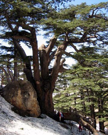
- Lebanon and Anti-Lebanon Mountains: The river rises in the Bekaa Valley of central Lebanon, where it flows northward between the parallel ranges of the Lebanon and Anti-Lebanon mountains.12
- Al-Anṣariyyah Mountains: As the river continues its path through Syria, it is associated with the Al-Anṣariyyah (also known as the Al-Nuṣayriyyah) mountains, which run along the lower northern Levant.2
These ranges are part of the broader topographic structure of the Levant, which features mountainous terrain running parallel to the Afro-Arabian Rift Valley system.2
Sources
- Orontes River — Encyclopædia Britannica
- Orontes — Merriam-Webster
- Antioch — Encyclopædia Britannica
- Antioch — Encyclopædia Britannica
- Antioch — Encyclopædia Britannica
- Tigris-Euphrates river system - Agriculture and irrigation — Encyclopædia Britannica
- ancient Middle East - Evolution of Middle Eastern civilizations — Encyclopædia Britannica
- Jordan Valley: Top Questions — Encyclopædia Britannica
- History of Technology Timeline - 6000 BCE: Irrigation — Encyclopædia Britannica
- Syria - Drainage — Encyclopædia Britannica
- history of technology - Irrigation — Encyclopædia Britannica
- Palestine - Land — Encyclopædia Britannica
- Levant — Encyclopædia Britannica
Published on · 3 min read