Lake Chelan
Lake Chelan is a narrow, fjordlike lake located in north-central Washington. Its formation is primarily the result of glacial activity, as it occupies a…
How was Lake Chelan formed, and what is its geological history?
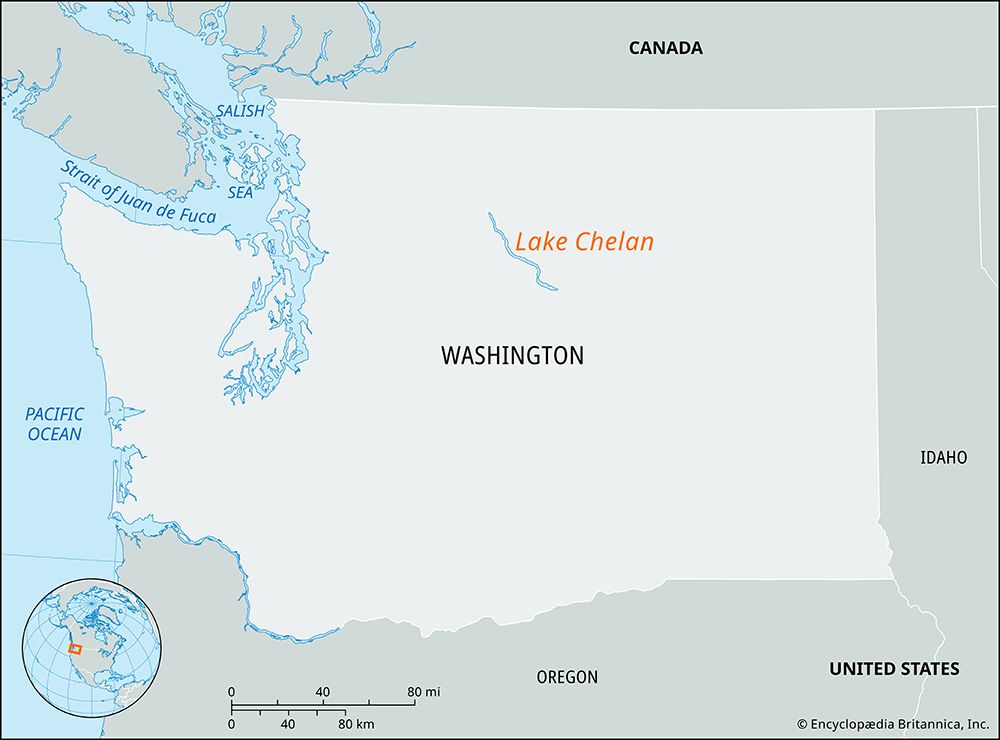
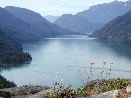
Lake Chelan is a narrow, fjordlike lake located in north-central Washington. Its formation is primarily the result of glacial activity, as it occupies a valley that was carved by glaciers along the eastern edge of the Cascade Range.1
This glacial carving created a deep, elongated basin, making Lake Chelan the third deepest lake in the United States, reaching a depth of 1,486 feet (453 meters). The lake is fed primarily by the Stehekin River, a glacial stream originating in the southern portion of North Cascades National Park. While the natural landscape was shaped by these ancient geological forces, the lake’s outlet at its southeastern end is currently impounded by a low dam near the town of Chelan, which regulates the flow into the nearby Columbia River.1
What are the main recreational activities available at Lake Chelan?
Recreational activities at Lake Chelan vary depending on the location, as the lake is divided between developed areas and remote wilderness.
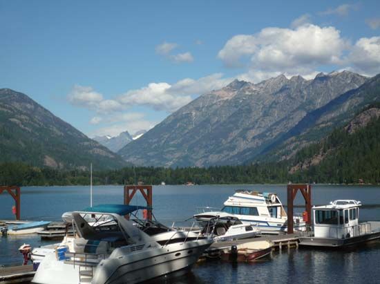
- Boating and Water Sports: Boating, canoeing, and kayaking are primary activities on the lake. Visitors can access the water via private boats, commercial ferryboats, or floatplanes.
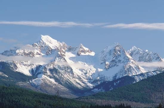
- Hiking and Backpacking: The Lake Chelan National Recreation Area and the surrounding North Cascades National Park offer an extensive network of trails. Most visitors to these areas engage in day hiking or overnight backpacking and horse-packing trips.
- Camping: The National Park Service maintains several primitive campsites throughout the Lake Chelan National Recreation Area, as well as developed campsites in other parts of the park complex.
- River Recreation: The Stehekin River, which feeds into the lake, is a popular destination for rafting.
- Winter Sports: Trails that remain accessible during the winter months attract cross-country skiers.
- Resort Activities: The southeastern end of the lake, located outside of federal lands, is a heavily visited area featuring numerous vacation homes and resort-style amenities. The community of Stehekin at the northern end also provides lodging facilities for visitors.
How deep is Lake Chelan, and how does its depth compare to other lakes in the United States?
Lake Chelan reaches a maximum depth of 1,486 feet (453 meters), which ranks it as the third deepest lake in the United States.1
To provide context regarding its depth compared to other major lakes in the country:
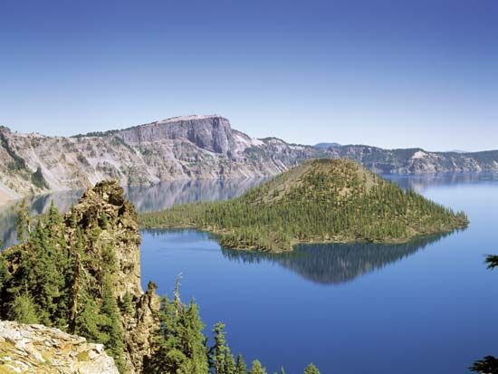
- Crater Lake: Located in Oregon, this is the deepest lake in the United States, with a maximum depth of 1,943 feet (592 meters).4
- Lake Chelan: As the third deepest, it serves as a significant geological feature of the Cascade Range, carved by ancient glacial activity.1
While Lake Chelan is exceptionally deep by national standards, it remains shallower than the world’s deepest lakes, such as Lake Baikal (5,315 feet) and Lake Tanganyika (4,710 feet).4
How do glaciers carve out deep valleys?
Glaciers carve deep valleys primarily through two powerful erosional processes: abrasion and plucking (or quarrying).56
- Abrasion: Temperate glaciers act like massive sheets of sandpaper. They carry a basal debris zone—a layer of rock fragments ranging from fine particles to large boulders—at their base. As the glacier moves, these embedded rocks grind against the bedrock, polishing, striating, and gouging the valley floor and sidewalls.57
- Plucking: This process involves the removal of larger chunks of rock from the glacier bed. As ice flows over bedrock obstacles, it creates high stress gradients and tensile forces that can pull rock apart along existing joints. Additionally, water refreezing beneath the glacier (regelation) can force rocks apart, allowing the ice to “pluck” them from the surface and incorporate them into the glacier’s base, where they become further tools for abrasion.5
Because glaciers are much larger and more viscous than rivers, they reshape V-shaped stream valleys into characteristic U-shaped valleys by widening the floor and steepening the walls. This process is most effective when the glacier is confined within valley walls, allowing it to erode the bedrock along the base and lower sidewalls with great efficiency.87
Sources
- Lake Chelan — Encyclopædia Britannica
- Chelan, Lake — Merriam-Webster
- North Cascades National Park — Encyclopædia Britannica
- 9 of the World’s Deepest Lakes — Encyclopædia Britannica
- glacial valley — Encyclopædia Britannica
- glacial landform — Encyclopædia Britannica
- glacial landform - Cirques , tarns, U-shaped valleys, arêtes, and horns — Encyclopædia Britannica
- glacial landform - Glacial erosion — Encyclopædia Britannica
- glacial landform - Small-scale features of glacial erosion — Encyclopædia Britannica
Published on · 3 min read