Lake Itasca
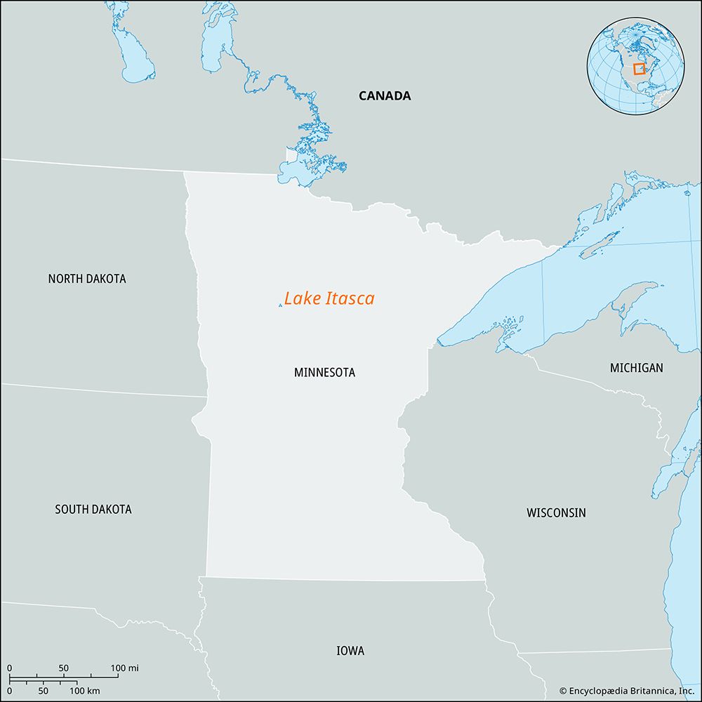
Lake Itasca, located in northwestern Minnesota, is widely recognized as the primary source of the Mississippi River.
How did Lake Itasca get its name, and what does it mean?
Lake Itasca, located in northwestern Minnesota, is widely recognized as the primary source of the Mississippi River.
The name was coined by the explorer and ethnologist Henry Rowe Schoolcraft in 1832. He derived the name from a combination of two Latin words: veritas, meaning “truth,” and caput, meaning “head,” intended to signify the “true head” of the river.1
While Schoolcraft is credited with this linguistic construction, there is also a Native American legend associated with the name. This tradition refers to I-tesk-ka, the daughter of Hiawatha, whose tears of sorrow upon being taken to the netherworld are said to have formed the headwaters of the Mississippi.1
What are the geographical features and size of Lake Itasca?
Geographical Features and Size of Lake Itasca
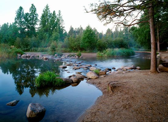
Lake Itasca is a lake of glacial origin situated in Clearwater County, northwestern Minnesota. It is widely recognized as the primary source of the Mississippi River.1
The lake’s physical characteristics include:
- Surface Area: It covers approximately 1.7 square miles (4.4 square km).1
- Depth: The maximum depth of the lake is 40 feet (12 meters).1
- Elevation: The surface of the lake sits at an elevation of 1,475 feet (450 meters) above sea level.1
The surrounding basin is protected within the 50-square-mile (130-square-km) Itasca State Park, which was established in 1891. While the lake is the traditional headwater, some geologists have noted that other glacial lakes in the region also contribute to the river’s source.1
How was Lake Itasca formed, and what is its geological history?
Lake Itasca is a body of water of glacial origin located in Clearwater County, northwestern Minnesota. Its formation is tied to the complex geological history of the upper Mississippi River basin, which was profoundly shaped by the Wisconsin Glacial Stage.13
During this period, massive ice sheets advanced across the region, depositing thick layers of debris and glacial drift. As these ice sheets retreated—a process that was largely complete in the region by approximately 7,000 years ago—the landscape was left with a variety of hills, valleys, and depressions. Lake Itasca formed within this glaciated terrain, where meltwaters and shifting debris created the basin that serves as the river’s headwaters today.341
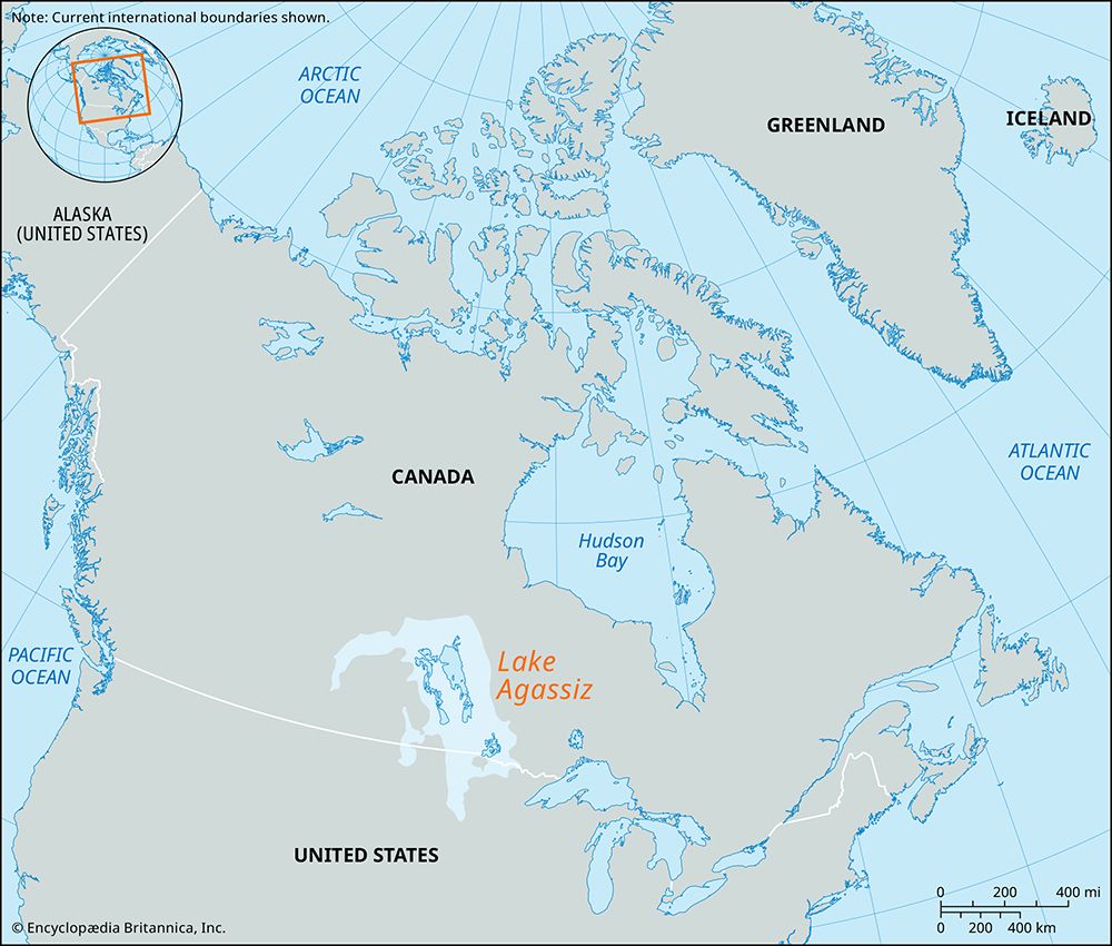
The broader region was also influenced by larger glacial features, such as the massive Lake Agassiz, which once covered parts of Minnesota and North Dakota. While Lake Itasca is the traditional source of the Mississippi, geologists note that the area’s complex glacial history means other nearby lakes also contribute to the river’s headwaters.51
Where is Lake Itasca located, and what is its significance to the Mississippi River?
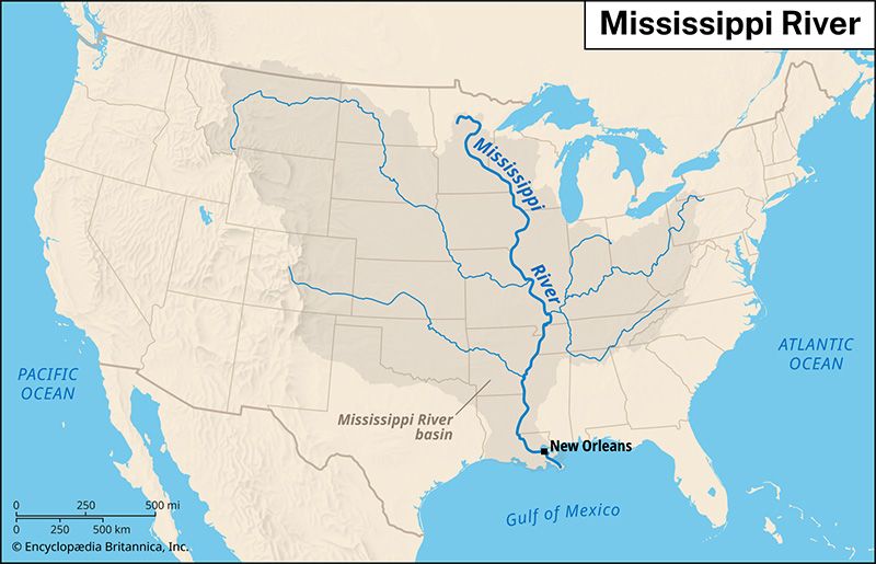
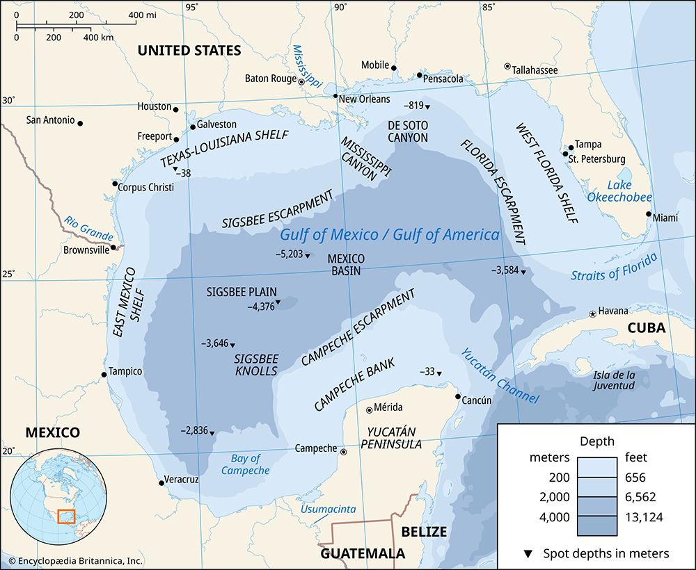
Lake Itasca is located in Clearwater County in northwestern Minnesota, United States. It is widely recognized as the primary source of the Mississippi River, which begins its 2,350-mile (3,780-km) journey southward to the Gulf of Mexico from the lake’s surface.1
The lake’s status as the river’s headwaters was famously proposed by explorer Henry Rowe Schoolcraft in 1832 and later confirmed by Joseph Nicollet in 1836. While some geologists suggest that other nearby glacial lakes also contribute to the river’s headwaters, Lake Itasca remains the traditional source. The name “Itasca” is believed to be derived from the Latin words veritas (truth) and caput (head), though Native American legends offer alternative origins involving the figure Hiawatha. Today, the area is preserved within the 50-square-mile Itasca State Park, established in 1891.1
Sources
- Lake Itasca — Encyclopædia Britannica
- Itasca, Lake — Merriam-Webster
- Mississippi River - Physiography — Encyclopædia Britannica
- Mississippi River - Early settlement and exploration — Encyclopædia Britannica
- Lake Agassiz — Encyclopædia Britannica
- North America - The lowlands of North America — Encyclopædia Britannica
Published on · 3 min read