Lake Ladoga
Lake Ladoga serves as a vital economic asset for northwestern Russia, primarily through its roles in commercial fishing and waterborne transportation.
How does Lake Ladoga contribute to the local and regional economy of northwestern Russia?
Lake Ladoga serves as a vital economic asset for northwestern Russia, primarily through its roles in commercial fishing and waterborne transportation.1
Commercial Fishing
The lake is home to a variety of fish species of commercial importance, making fishing a principal economic activity for the region.1
Transportation and Trade
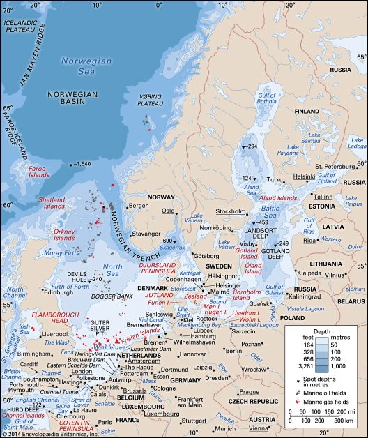
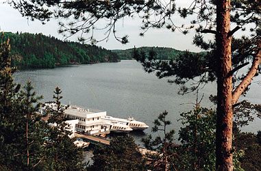
Lake Ladoga is a key component of Russia’s inland waterway infrastructure. It functions as an integral part of both the Volga-Baltic Waterway and the White Sea–Baltic Waterway systems. These routes facilitate the efficient transport of freight to various locations within Russia, as well as to international destinations including Finland and Germany, without the need for transshipment. The Neva River, which issues from the lake, further connects this network to the Gulf of Finland and the Baltic Sea, supporting the movement of large ships and bolstering the regional economy centered around St. Petersburg.12
What are the main rivers that feed into and drain from Lake Ladoga?
Lake Ladoga is fed by numerous tributaries, the largest of which are the Volkhov, the Svir, and the Vuoksa (also known as the Vuoksi) rivers. The Vuoksa River specifically serves as the drainage outlet for Lake Saimaa in Finland, connecting it to Lake Ladoga.14
The primary river that drains Lake Ladoga is the Neva River. The Neva issues from the lake at the town of Shlisselburg and flows westward for 46 miles before emptying into the Gulf of Finland in the Baltic Sea2.
How was Lake Ladoga formed, and what is its geological history?
The basin of Lake Ladoga, the largest lake in Europe, was formed primarily through the action of glaciers. During the glacial periods, the movement and erosion of massive ice sheets carved out the depression that now contains the lake.1
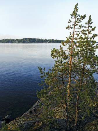
The lake’s geological history is reflected in its diverse shoreline topography. The northern shores, shaped by glacial activity, are characterized by high, craggy terrain and deep, fjordlike inlets. In contrast, the southern shores are generally low and slightly indented, featuring sandy or rocky beaches and ancient coastal embankments. These features are typical of landscapes shaped by glacial erosion and subsequent depositional processes, where the retreat of ice and the stabilization of water levels leave behind distinct geological markers, such as wave-cut benches or beach ridges.16
What is the geographical location and size of Lake Ladoga in Russia?
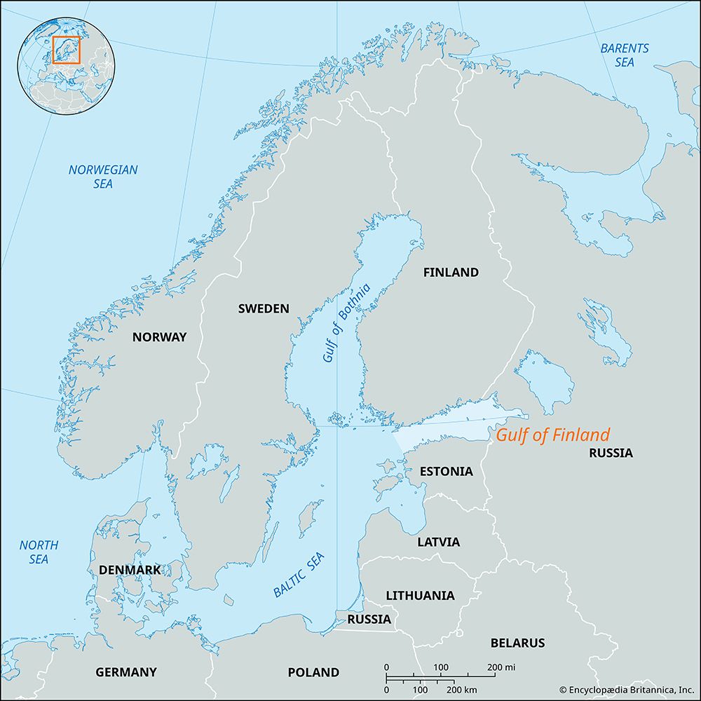
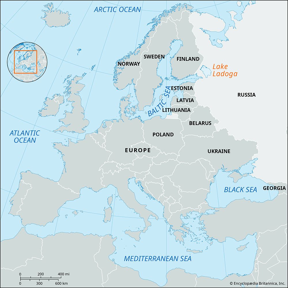
Lake Ladoga is located in northwestern Russia, situated approximately 25 miles (40 km) east of St. Petersburg. As the largest lake in Europe, it occupies a significant geographical position within the region.16
Regarding its size, the lake covers an area of approximately 6,700 square miles (17,600 square km), excluding its many islands. Some sources note a slightly larger area of 6,835 square miles (17,703 square km) when including the total surface area. The lake spans 136 miles (219 km) in length, with an average width of 51 miles (82 km). Its basin is vast, encompassing a total area of about 100,000 square miles (259,000 square km).16
Sources
- Lake Ladoga — Encyclopædia Britannica
- Neva River — Encyclopædia Britannica
- Lake Onega — Encyclopædia Britannica
- Finland - Drainage and soils — Encyclopædia Britannica
- Volkhov River — Encyclopædia Britannica
- Ladoga, Lake — Merriam-Webster
- glacial landform - Glaciolacustrine deposits — Encyclopædia Britannica
Published on · 2 min read