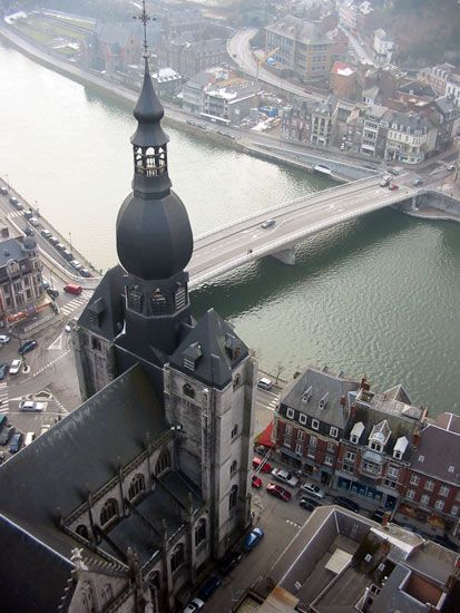
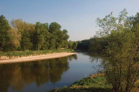
Lesse River
The Lesse River is a river in southeastern Belgium that flows through the Ardennes region. While the provided information notes that the river is subject to…
How does the flow rate of the Lesse River change throughout the year, and what factors influence these changes?
The Lesse River is a river in southeastern Belgium that flows through the Ardennes region. While the provided information notes that the river is subject to periodic flooding—most notably leading to a comprehensive flood-control plan following substantial flooding in 1993—the specific seasonal variations in its flow rate are not detailed in the available records.
The river’s hydrology is influenced by its unique geography, including a course that takes it through the Famenne depression and an underground section at Han-sur-Lesse, where it has carved out the famous Grottoes of Han. Its final stretch, from Houyet to Anseremme, is characterized by a deep, winding valley flanked by steep limestone cliffs.
Where is the Lesse River located in Belgium, and what are its main geographical features?
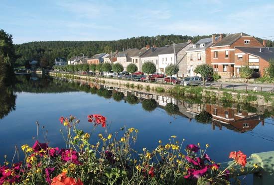
The Lesse River is located in southeastern Belgium. It originates west of Libramont in the Ardennes and follows a 52-mile (84-km) northwesterly path before joining the Meuse River at Anseremme.1
Geographical Features
The river’s course is defined by several distinct geological characteristics:
- Upper Course: It begins in a shallow valley within the Ardennes, where it is joined by the Lomme tributary.1
- The Famenne Depression: Upon reaching the limestone and shale of the Famenne depression, the river turns westward.1
- Subterranean Flow: At Han-sur-Lesse, the river flows underground for approximately one mile, carving out the celebrated Grottoes of Han, which are famous for their extensive stalactite and stalagmite formations.1
- Lower Valley: From Houyet to Anseremme, the river flows through a deep, winding valley framed by steep limestone cliffs.1
- Archaeological Significance: The riverbank is home to the cavern of Naulette, where prehistoric remains associated with the Mousterian industry were discovered in 1866.1
How does the geology of the Ardennes region influence the course and characteristics of the Lesse River?
The geology of the Ardennes significantly dictates the path and physical character of the Lesse River.
In its upper reaches, the river flows through a shallow valley within the Ardennes plateau, a region defined by complex folding and diverse rock types including sandstone, quartzite, and slate. As the river encounters the less-resistant limestone and shale of the Famenne depression, its course shifts abruptly westward toward the Meuse River.12
The limestone geology is particularly influential in the river’s middle and lower sections:
- Subterranean Erosion: At Han-sur-Lesse, the river disappears underground for approximately one mile, carving out the famous Grottoes of Han through the dissolution of limestone.1
- Valley Formation: In its final stretch from Houyet to Anseremme, the river has cut a deep, winding valley characterized by steep limestone cliffs, a testament to the erosive power of the water against the region’s structural composition.1
Are there any legends or folklore associated with the Lesse River in Belgian culture?
Sorry, the Britannica knowledge base does not contain information regarding legends or folklore associated with the Lesse River.
Sources
- Lesse River — Encyclopædia Britannica
- Ardennes — Encyclopædia Britannica
- European Plain - Drainage — Encyclopædia Britannica
Published on · 2 min read