Loíza River
The Loíza River is a river located in eastern Puerto Rico. It originates in the Sierra de Cayey, south of San Lorenzo, and flows approximately 40 miles (65…
What is Loíza River?
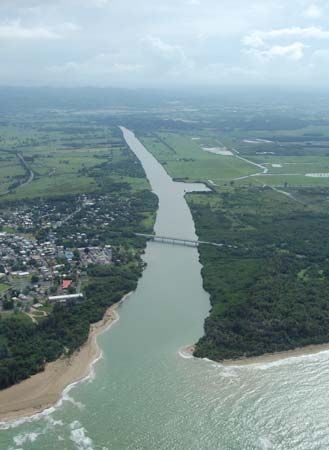
The Loíza River is a river located in eastern Puerto Rico. It originates in the Sierra de Cayey, south of San Lorenzo, and flows approximately 40 miles (65 km) through the humid foothills of the Cayey and the Sierra de Luquillo before emptying into the Atlantic Ocean near Loíza Aldea.1
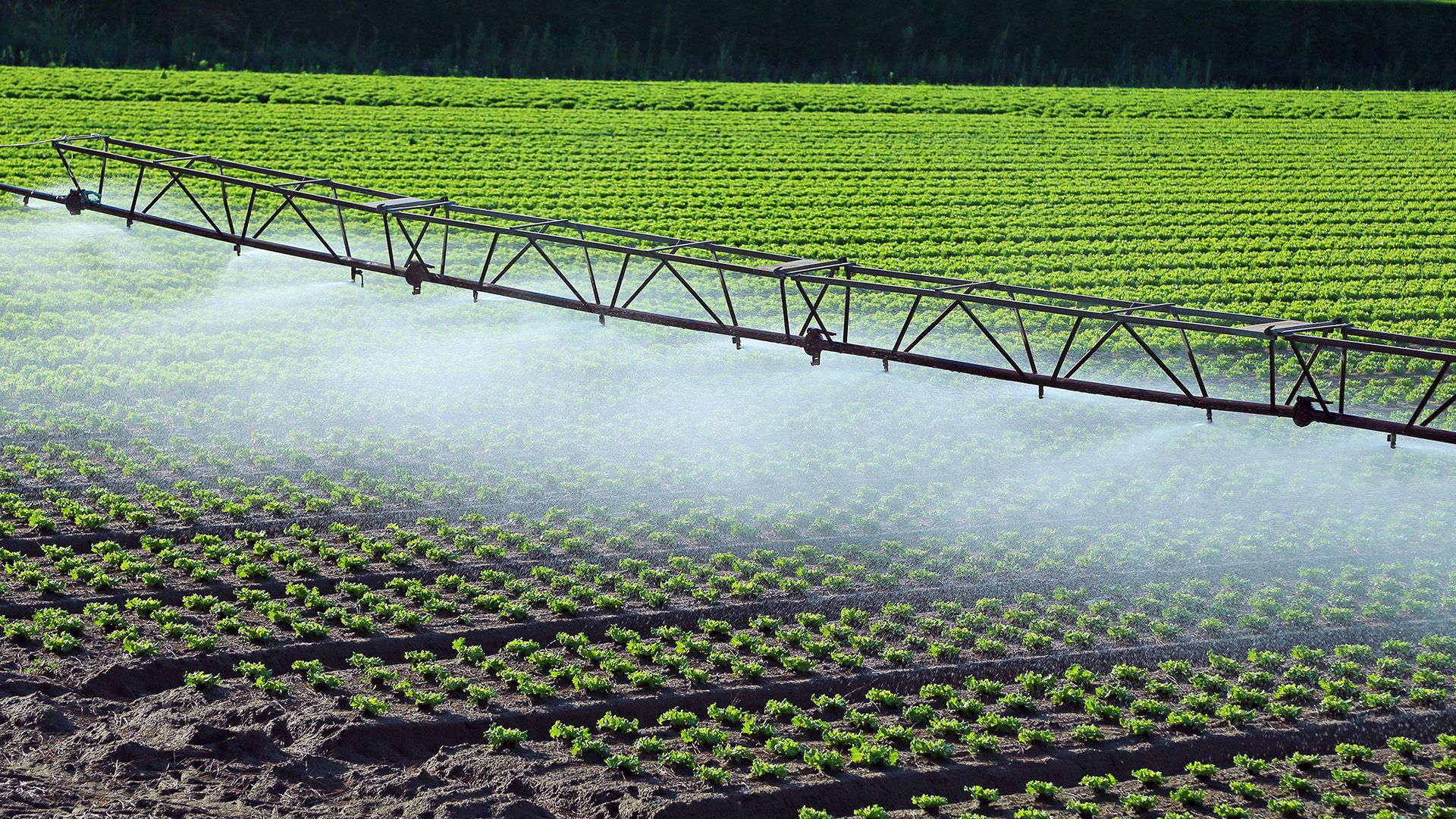
The river’s floodplain and surrounding terraces support the cultivation of sugarcane, tobacco, bananas, and vegetables. A significant feature of the river is the Loíza River Project, initiated in 1948, which includes a hydroelectric dam south of Trujillo Alto. The resulting reservoir, Embalse de Loíza, serves as the primary water supply for San Juan. Additionally, the final 8 miles (13 km) of the river, starting from Santa Bárbara, have been straightened to facilitate navigation.1
How does the Embalse de Loíza reservoir provide water to San Juan?
The Embalse de Loíza reservoir serves as the primary water supply for San Juan by capturing and storing water from the Loíza River.
The reservoir was created as part of the Loíza River Project, which was initiated in 1948 with the construction of a hydroelectric dam located just south of Trujillo Alto. By impounding the river’s flow, the dam creates a reliable water source that is managed to meet the municipal needs of the San Juan metropolitan area.1
What is the significance of the Sierra de Luquillo mountains?
The Sierra de Luquillo is a significant mountain range located in the northeastern part of Puerto Rico. It is geographically distinct from the island’s central mountain ranges, separated from the Sierra de Cayey by the Caguas, Gurabo, and Blanco valleys.2
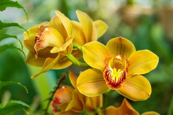
The range is ecologically vital, as nearly two-thirds of this humid tropical region is occupied by the Caribbean National Forest. This protected area serves as a critical sanctuary for biodiversity, preserving rare species of orchids and the Puerto Rican parrot, which is currently an endangered species. The forest also provides a habitat for various native wildlife, including the coquí, a small frog that serves as a national mascot for the island.23
What crops are commonly grown in Puerto Rico’s river floodplains?
In Puerto Rico, the river floodplains and their surrounding terraces are utilized for the cultivation of various agricultural products. The specific crops grown in these fertile areas include:
- Sugarcane: Historically a dominant crop in the island’s economy, it has been widely cultivated in floodplains such as those along the Loíza River.4
- Tobacco: This remains a traditional product grown in these regions, including the alluvial plains of the La Plata River.45
- Vegetables: Various vegetable crops are commonly produced in these fertile lowlands.45
- Bananas: These are also grown in the floodplain environments, particularly noted along the Loíza River.4
- Grapefruit: This fruit is specifically mentioned as a crop grown along the terraces and alluvial plains of the La Plata River.5
While these floodplains provide productive land for farming, it is important to note that agriculture currently accounts for a relatively small portion of Puerto Rico’s gross domestic product and employment.1
Sources
- Loíza River — Encyclopædia Britannica
- Cordillera Central — Encyclopædia Britannica
- Puerto Rico - Plant and animal life — Encyclopædia Britannica
- Puerto Rico - Drainage and soils — Encyclopædia Britannica
- Puerto Rico - Agriculture, forestry, and fishing — Encyclopædia Britannica
- Puerto Rico - Resources — Encyclopædia Britannica
- La Plata River — Encyclopædia Britannica
- Puerto Rico - Socioeconomic concerns — Encyclopædia Britannica
- Puerto Rico - Early settlement — Encyclopædia Britannica
Published on · 2 min read