Lužnice River
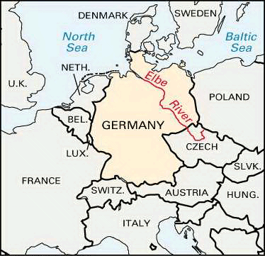
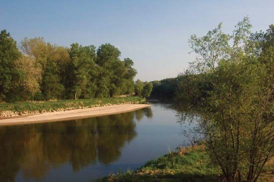
The Lužnice River (known as the Lainsitz in its upper reaches) is a 129-mile (208 km) river that flows through Austria and the Czech Republic.
What is Lužnice River?
The Lužnice River (known as the Lainsitz in its upper reaches) is a 129-mile (208 km) river that flows through Austria and the Czech Republic.1
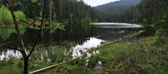
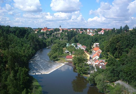
Rising in the Freiwald forest of Austria, the river flows northward into the Czech Republic, where it traverses the Třeboň lake region. Upon reaching Tábor, the river narrows into a gorge and makes a sharp 120° turn to flow southwestward, eventually joining the Vltava River. It maintains a drainage basin covering 1,631 square miles (4,224 square km).1
What is the significance of the Vltava River?
The Vltava River is the longest river in the Czech Republic, flowing 270 miles (435 km) through the heart of Bohemia. Its significance spans geography, economy, and national culture:2
- Geographic and Economic Importance: As a principal navigable waterway, the Vltava serves as a vital transportation artery, with Prague functioning as its chief port. The river’s middle and lower courses feature large hydropower dams that provide both energy and recreational facilities.32
- Cultural Symbolism: The river is a profound symbol of Czech national identity. It is immortalized in the symphonic poem The Moldau by Bedřich Smetana, which is part of his patriotic cycle Má vlast (“My Country”). The music musically depicts the river’s journey from its mountain springs through the countryside to the capital.24
- Historical Hub: The river has been central to the development of major cities, most notably Prague, which has been the capital of Bohemia since the Middle Ages and remains a primary cultural and architectural center.21
How do rivers shape the geography of the Czech Republic?
Rivers play a fundamental role in shaping the geography and development of the Czech Republic, which sits within the headwater area of the central European watershed.2
- Topographic Influence: The landscape is defined by river basins and highlands. For instance, the Elbe River carves through the mountains in the northwest, creating the country’s lowest elevation point. In the east, the Morava River and the Oder River define the valleys of the Moravian-Silesian region.26
- Soil Formation: The rivers are essential to the country’s pedology; alluvial soils, which are highly fertile, are found specifically within the river basins, contrasting with the stony mountain soils found at higher elevations.2
- Economic and Infrastructure Development: Major rivers like the Vltava serve as critical transportation arteries and sources of hydroelectric power. The Vltava’s middle and lower courses are characterized by gorgelike features and incised meanders, where large dams have been constructed to create reservoirs for energy and recreation.27
What are the main characteristics of the Třeboň lake region?
The Třeboň region, located in the southern Czech Republic, is defined by its unique basin geography and long-standing tradition of water management.10
Geographic and Environmental Features
The region lies within the basin of the Lužnice River, characterized by heavy, impermeable clay soils that have facilitated the formation of significant peat deposits. This landscape is dominated by an extensive network of artificial lakes and ponds, which are rimmed by forests and small fish pens.10
Economic and Historical Significance
- Pond Husbandry: Since the Middle Ages, the area has been a center for freshwater fishing, particularly carp farming. This system is supported by the Zlatá stoka (Golden Canal), a remarkable medieval engineering feat that supplies the ponds with water from the Lužnice.10
- Notable Landmarks: The region features the Rožmberk fishpond, the largest in the system, established by Jakub Krčín between 1584 and 1590. The Svět fishpond, covering 540 acres (220 hectares), is currently utilized for water sports training.10
- Cultural Heritage: The town of Třeboň itself is noted for its historical architecture, including the 14th-century Gothic Church of St. Giles and the Schwarzenberg Castle, which houses valuable archives.10
Sources
- Lužnice River — Encyclopædia Britannica
- Vltava River — Encyclopædia Britannica
- The Moldau — Encyclopædia Britannica
- Czech Republic: Top Questions — Encyclopædia Britannica
- Czech Republic - Transportation and telecommunications — Encyclopædia Britannica
- Czech Republic - Drainage and soils — Encyclopædia Britannica
- Czech Republic - Relief — Encyclopædia Britannica
- Vltava — Merriam-Webster
- Danube River - Hydrology of Danube River — Encyclopædia Britannica
- Třeboň — Encyclopædia Britannica
Published on · 3 min read