Elbe River
The Elbe River serves as a vital artery for European transportation and commerce, connecting the Czech Republic and eastern Germany to the North Sea via the…
What role does the Elbe River play in modern-day transportation and commerce in Europe?
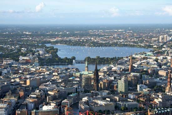
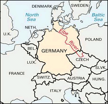
The Elbe River serves as a vital artery for European transportation and commerce, connecting the Czech Republic and eastern Germany to the North Sea via the major port city of Hamburg.1
The river’s utility is enhanced by an extensive network of connecting waterways:
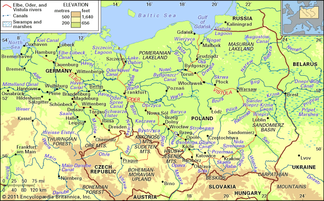
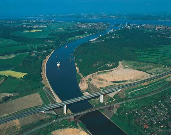
- Canal Connectivity: The Mittelland Canal links the Elbe to the Weser and Rhine rivers, while the Elbe-Havel Canal extends traffic toward Berlin and Poland. The Kiel Canal and Elbe-Lübeck Canal provide crucial access to the Baltic Sea.12
- Cargo Transport: The river supports the movement of heavy goods, including bituminous coal, lignite, coke, metal, potash, and grain, primarily using 1,000-ton barges.12
- Infrastructure: Hamburg remains a premier European seaport, supported by significant road and rail tunnels that facilitate trans-European traffic flows.1
While navigation can occasionally be hindered by water level fluctuations, the river remains a cornerstone of regional logistics.1
How has the Elbe River influenced the development of major cities along its course?
The Elbe River has been a fundamental driver of urban development in Central Europe for centuries, acting as a natural conduit for trade, defense, and cultural exchange.
Centers of Commerce and Power
- Hamburg: Originally established in the 9th century, Hamburg grew into one of Europe’s largest seaports by leveraging its position on the Elbe. Its membership in the Hanseatic League solidified its status as a commercial powerhouse. The river allowed the city to expand its international trade reach, and despite challenges like the Thirty Years’ War and the destruction of World War II, it remains “Germany’s gateway to the world.”14
- Magdeburg: First noted in 805 as a trading post on the frontier between German and Slavic lands, Magdeburg flourished in the 13th century as a key Hanseatic city. Its location at a natural crossroads on the Elbe made it a vital inland port, a role that persisted through the era of German partition and into the modern era.15
- Dresden: Founded around 1200, Dresden utilized its river location to become a major center of fine arts and architecture in the 18th century, earning the moniker “Florence on the Elbe.”1
Strategic and Historical Influence
The river’s geography often dictated political boundaries. For centuries, it served as a frontier between northern Slavic populations and German settlers. In the 20th century, the Elbe functioned as a critical demarcation line between East and West Germany until reunification in 1990, which subsequently revitalized trade links between the city ports and the interior of Central Europe.145
Beyond these major hubs, the river fostered the growth of specialized towns like Wittenberg, the birthplace of the Protestant Reformation, and Meissen, renowned for its porcelain industry.1
Where does the Elbe River originate, and which countries does it flow through?
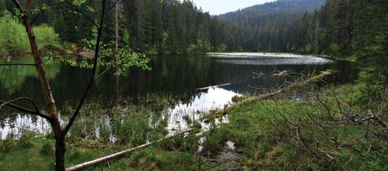
The Elbe River originates on the southern side of the Krkonoše (Giant) Mountains, located near the border of the Czech Republic and Poland.1
The river flows through two primary countries:
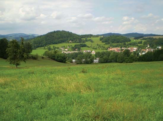
- Czech Republic: The river makes a wide arc across Bohemia for approximately one-third of its total length.1
- Germany: After crossing the border, the river flows through eastern Germany for the remainder of its course, eventually broadening into an estuary that empties into the North Sea at Cuxhaven.1
How did the Elbe River serve as a political boundary during the Cold War era?
During the Cold War, the Elbe River served as a critical physical and political demarcation line between East Germany and West Germany. Following the end of World War II, the river functioned as part of the border separating the two states until German reunification in 1990.8
While the Berlin Wall is the most iconic symbol of the Cold War division, the Elbe River acted as a broader geographical barrier that reinforced the split between the Eastern and Western blocs in Central Europe. This division effectively restricted movement and trade across the river for decades, until the political shifts of the late 1980s allowed for the restoration of integrated transit and economic links between the regions.18
Sources
- Elbe River — Encyclopædia Britannica
- Germany - Seaports — Encyclopædia Britannica
- Mittelland Canal — Encyclopædia Britannica
- Hamburg - Evolution of the modern city — Encyclopædia Britannica
- Elbe-Havel Canal — Encyclopædia Britannica
- Magdeburg — Encyclopædia Britannica
- Alster River — Encyclopædia Britannica
- Berlin Wall — Encyclopædia Britannica
Published on · 3 min read