Mannar Island
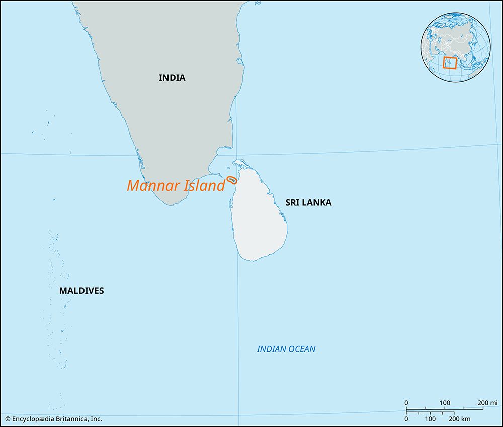
Mannar Island is a dry, barren island covering approximately 50 square miles (130 square km) off the northwestern coast of Sri Lanka. It is situated at the…
What is Mannar Island?
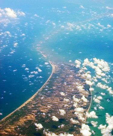
Mannar Island is a dry, barren island covering approximately 50 square miles (130 square km) off the northwestern coast of Sri Lanka1. It is situated at the eastern end of Adam’s Bridge, a 30-mile-long chain of shoals that historically served as a land connection between Sri Lanka and India.12
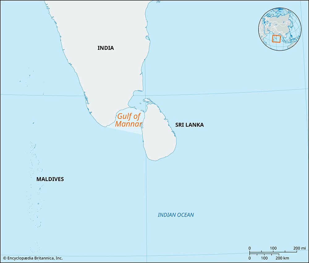
The island’s economy is primarily supported by fishing, and the small port of Mannar is located on its southeastern shore. Geographically, the island helps bound the Gulf of Mannar, an inlet of the Indian Ocean known for its pearl banks and sacred chank mollusks. While the surrounding shoals of Adam’s Bridge are often associated with religious legends—such as the construction of a causeway by the deity Rama—the area remains a significant site of geological and historical interest.132
What are the geological theories behind the formation of Adam’s Bridge?
Geological evidence indicates that Adam’s Bridge is a natural formation representing a former land connection between India and Sri Lanka. Several scientific theories explain its origin:
- Tectonic and Coral Growth: One theory suggests that tectonic movements shaped the region, including the Kaveri River basin. These landforms provided a foundation for coral to grow, which subsequently trapped sand to create a discontinuous shoreline.2
- Longshore Currents: Another theory proposes that longshore currents deposited sand in a linear formation, which was later covered by accumulating coral.2
- Sea Level Fluctuations: Studies suggest the bridge may have been exposed during periods of low sea level. While some coral samples from Rameswaram Island have been dated to 125,000 years ago, other research indicates the bridge may have formed as recently as 3,500 years ago.2
While these natural processes explain the bridge’s existence, its appearance near the Pamban end has led to traditional beliefs that it is an artificial structure, most notably associated with the Hindu deity Rama.2
How does the Ramayana describe the construction of the bridge?
In the Hindu epic Ramayana, the bridge—often referred to as a causeway—is described as a monumental construction project undertaken by the hero Rama to reach Sri Lanka. The purpose of this bridge was to facilitate the passage of Rama’s army from India to rescue his wife, Sita, who had been abducted by the demon king Ravana.2
According to the epic, the construction was carried out by a vanara (monkey) army, which was supervised by an engineer named Nala. While geological evidence confirms that the feature known as Adam’s Bridge is a natural formation of shoals, its appearance near the Pamban end has led many to view it as physical evidence of the bridge described in the Ramayana.2
What is the significance of the Gulf of Mannar for marine life?
The Gulf of Mannar, an inlet of the Indian Ocean situated between southeastern India and western Sri Lanka, is ecologically significant for its unique marine resources. It is particularly noted for its historic pearl banks and the presence of the sacred chank, a type of gastropod mollusk.3
Please note that the provided search results do not contain further information regarding the broader biodiversity or specific conservation status of marine life within the Gulf of Mannar. While one of the search results discusses the marine biota and environmental challenges of the Gulf of Mexico, that information is not applicable to the Gulf of Mannar.4
Sources
- Mannar Island — Encyclopædia Britannica
- Adam’s Bridge — Encyclopædia Britannica
- Gulf of Mannar — Encyclopædia Britannica
- Mannar, Gulf of — Merriam-Webster
- Gulf of Mexico / Gulf of America - Study and the impact of human activity — Encyclopædia Britannica
Published on · 2 min read