Mesa Del Norte
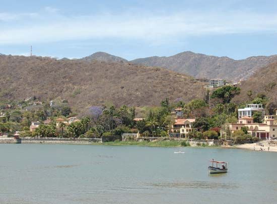
The Mesa del Norte (Northern Plateau) is a vast region that tilts gently upward from north to south. At its northern end, near the U.S.–Mexico border, the…
What is the average elevation of the Mesa del Norte plateau?
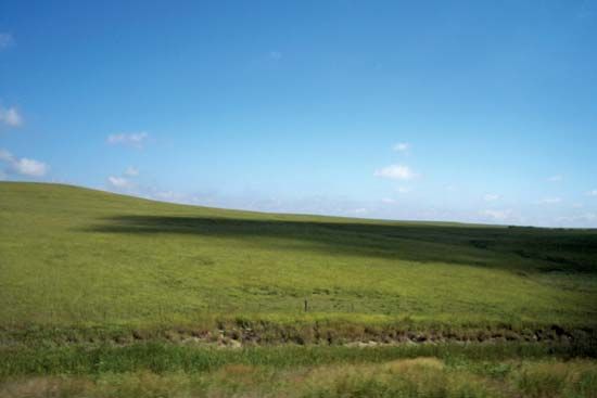
The Mesa del Norte (Northern Plateau) is a vast region that tilts gently upward from north to south. At its northern end, near the U.S.–Mexico border, the plateau has an elevation of approximately 4,000 feet (1,200 meters) above sea level.1
What are some of the key economic activities in the Mesa del Norte region?
The economy of the Mesa del Norte is characterized by a blend of traditional rural activities and modern industrial development. Key economic sectors include:
- Mining: The region is a significant producer of lead and zinc, along with deposits of iron and silver. These mineral resources have been a foundational part of the economy since the Spanish colonial era.14
- Agriculture: While much of the land is arid, agricultural production is concentrated in specific irrigable areas. The Laguna District is a major producer of cotton, while the upper Salado River valley is known for wheat cultivation. Other important crops include corn (maize), beans, and alfalfa.1
- Ranching: Large portions of the arid landscape are utilized as rangeland for livestock, a practice that has remained a staple of the rural economy since the 18th century.14
- Industrialization: In recent decades, the economy has been transformed by the growth of industrial plants and manufacturing, particularly in cities located along the border with the United States.4
What are some of the major cities or towns located within the Mesa del Norte?
The Mesa del Norte is characterized by a sparse population, with settlement historically centered on mining sites, missions, and military outposts rather than the dense urban cores found in central Mexico. Several significant cities and towns are located within or on the periphery of this region:61
- Monterrey: Located in a stark portion of the Mesa del Norte, this city developed into Mexico’s primary iron and steel center by the mid-20th century, benefiting from nearby mineral deposits.1
- Torreón: Situated along the Nazas River, this city serves as the administrative and commercial hub for the Laguna District, a major agricultural area.5
- Mining Centers: Several cities were founded in the 16th century to support silver mining, including Durango, San Luis Potosí, Aguascalientes, and Zacatecas.1
While cities like Saltillo are often associated with the region’s industrial and commercial network, they are geographically situated at the northern edge of the Mesa Central7.
How was the Mesa del Norte formed geologically?
The Mesa del Norte is a geologically complex region that forms the northern section of the Mexican Plateau. Its formation is primarily defined by the following processes:
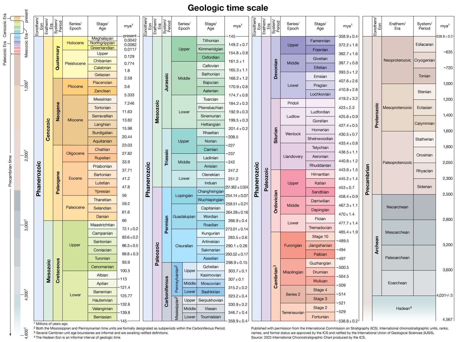
- Uplift and Folding: The plateau is composed largely of strata from the Mesozoic Era (approximately 250 to 65 million years ago) that were uplifted and folded. This tectonic activity occurred contemporaneously with the rise of the Rocky Mountains in the United States.1
- Cenozoic Volcanism and Erosion: Following a long period of weathering and erosion, the early Cenozoic Era saw massive outpourings of lava across the region. Subsequently, the entire plateau block was uplifted, with greater displacement occurring in the south than in the north.1
- Basin and Range Characteristics: The northern portion of the plateau is structurally similar to the Basin and Range Province of the United States. It is characterized by isolated mountain blocks and large, enclosed drainage basins known as bolsones (pockets), such as the Mapimí Basin.2910
Sources
- Mesa del Norte — Encyclopædia Britannica
- Sierra Madre - Geology — Encyclopædia Britannica
- Mexico - Physiographic regions — Encyclopædia Britannica
- Mexico - Cultural regions — Encyclopædia Britannica
- Mesa Central — Encyclopædia Britannica
- Torreón — Encyclopædia Britannica
- Saltillo — Encyclopædia Britannica
- Mexico - Settlement patterns — Encyclopædia Britannica
- Sierra Madre - Physiography of the Sierra Madre — Encyclopædia Britannica
- Sierra Madre — Encyclopædia Britannica
- Mapimí Basin — Encyclopædia Britannica
Published on · 3 min read