Oder River
The Oder-Neisse Line served as the post-World War II border between Poland and Germany, established to compensate Poland for territory lost to the Soviet…
What role did the Oder River play in defining national borders after World War II?
The Oder-Neisse Line served as the post-World War II border between Poland and Germany, established to compensate Poland for territory lost to the Soviet Union in the east.1
At the Potsdam Conference in 1945, the Allied powers placed the lands east of the Oder River and the Lusatian Neisse under Polish administrative control, allowing for the deportation of German inhabitants. While the German Democratic Republic recognized this boundary in 1950, West Germany initially viewed it as a temporary administrative line.1
The border remained a point of contention until 1970, when West Germany signed treaties with the Soviet Union and Poland acknowledging the line as an inviolable border. This status was ultimately solidified during the process of German reunification in 1990.1
What are the main tributaries of the Oder River?
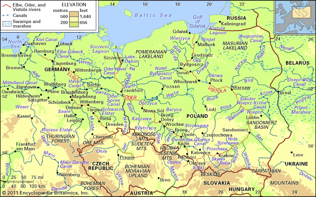
The Oder River is fed by numerous tributaries from both the left and right banks. These include:
Left-bank tributaries:
- Opava (Czech Republic)
- Osobłoga, Nysa Kłodzka, Oława, Ślęza, Bystrzyca, Kaczawa, Bóbr, and Neisse (Poland)
Right-bank tributaries:
- Olše (Czech Republic)
- Kłodnica, Mała Panew, Strobrawa, Widawa, Barycz, Obrzyca, Warta, Myśla, and Ina (Poland)
How does the Oder River contribute to the economy of the regions it flows through?
The Oder River serves as a vital waterway for the economy of east-central Europe, functioning as a key transport artery that supplements overburdened railway and highway systems. Its primary economic contribution lies in its role as a navigable link between the highly industrialized regions of southwestern Poland—specifically Silesia—and the Baltic Sea, particularly the major Polish seaport of Szczecin.2
The river’s economic utility is enhanced by an extensive network of canals:
- Internal Connectivity: The Gliwice Canal connects industrial centers to the river, while the Bydgoszcz Canal and the Warta and Noteć rivers link the Oder to the Vistula, Poland’s largest river.2
- International Integration: The Oder–Havel and Oder–Spree canals connect the river to the broader waterway systems of western Europe, facilitating the transport of commodities across the continent.2
Barges utilize these routes to transport bulk materials, and the river accounts for approximately 10 percent of the total tonnage handled by the port of Szczecin.2
What is the geographical location and length of the Oder River?
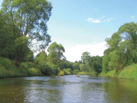
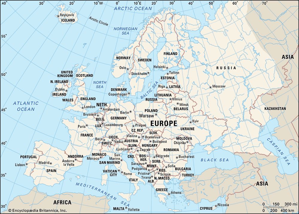
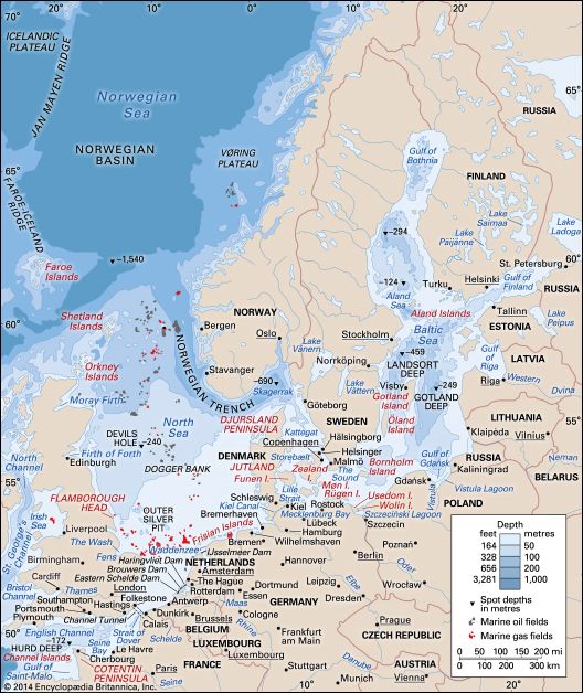
The Oder River is a major waterway of east-central Europe that flows through the Czech Republic, Poland, and Germany. It originates in the Hrubý Jeseník Mountains of the Czech Republic and follows a generally southeast-northwest direction before reaching the Baltic Sea via a lagoon north of the Polish city of Szczecin.2
The river’s total length is 531 miles (854 kilometers). Its course is distributed as follows:
Sources
- Oder–Neisse Line — Encyclopædia Britannica
- Oder River — Encyclopædia Britannica
- Vistula River - The economy — Encyclopædia Britannica
Published on · 2 min read