Ouachita Mountains
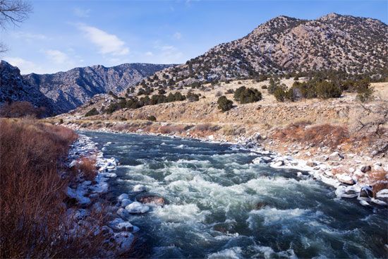
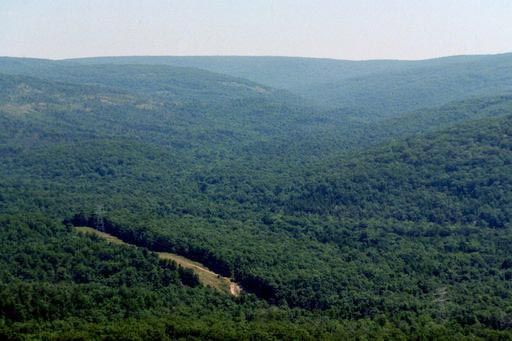
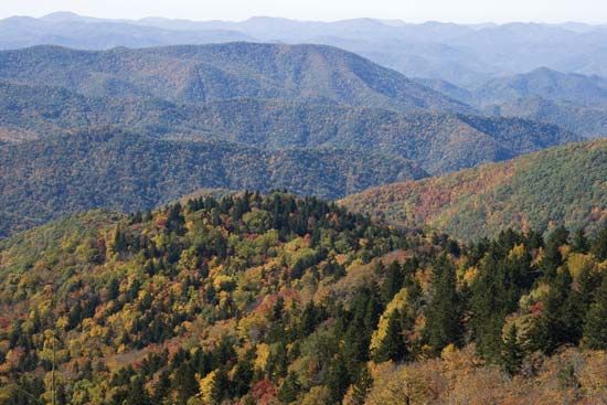
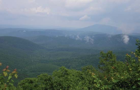
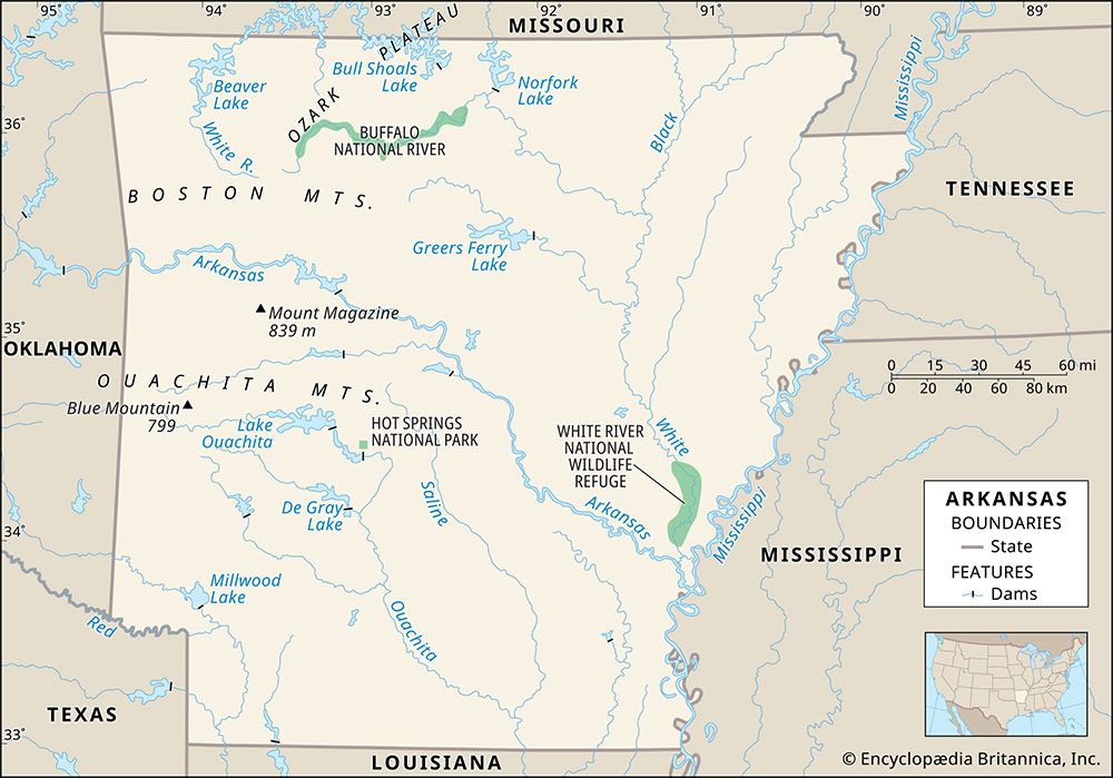
The Ouachita Mountains are a rugged range located in the south-central United States, spanning western Arkansas and southeastern Oklahoma.
Where are the Ouachita Mountains located within the United States?
The Ouachita Mountains are a rugged range located in the south-central United States, spanning western Arkansas and southeastern Oklahoma.12
The range extends approximately 225 miles from Little Rock, Arkansas, to Atoka, Oklahoma, and covers an area roughly 50 to 60 miles wide between the Arkansas River valley and the northern edge of the Coastal Plain. These mountains, which are a continuation of the Ozark Mountains, are characterized by east-west trending ridges of similar height, with the highest point being Rich Mountain at 2,950 feet. The region is also home to Hot Springs National Park.1
What Native American tribes historically inhabited the Ouachita Mountain region?
The Ouachita Mountains region is historically associated with the Caddo people. The name “Ouachita” itself is derived from an Indigenous tribal name, reflecting the long-standing presence of Native American groups in the area.31
The Caddo, who belong to the Caddoan linguistic family, historically occupied the lower Red River area, which includes parts of present-day Arkansas and Louisiana. Archaeological research indicates that the Caddoan presence in this region is ancient, characterized by a complex culture that built ceremonial temple mounds and practiced agriculture. For centuries, Native American groups also frequented the hot springs located within the Ouachita Mountains for their therapeutic properties, long before the area was designated as a reservation in the early 19th century.43
What is the highest peak in the Ouachita Mountains and how tall is it?
The highest peak in the Ouachita Mountains is Rich Mountain, located in Le Flore County, Oklahoma, near the Arkansas border. It reaches an elevation of 2,950 feet (899 meters).1
How do the Ouachita Mountains differ from other mountain ranges in the United States?
The Ouachita Mountains are distinct from many other U.S. ranges because they are considered a detached, westward continuation of the Appalachian Mountain system, with the intervening section buried beneath the sediments of the lower Mississippi valley.1
Key characteristics that define the Ouachita Mountains include:
- Geologic Structure: The range was formed by the Ouachita orogeny, a mountain-building event during the late Paleozoic Era that resulted in significant folding and faulting of strata.72
- Topography: Similar to the Ridge and Valley region of the Appalachians, the Ouachita Mountains are characterized by long, linear ridges that trend east-west and are approximately the same height.81
- Composition: Unlike the crystalline cores found in parts of the Appalachians or the limestone-dominated plateaus of the nearby Ozark Mountains, the Ouachita range is composed of eroded, folded, and faulted rocks.16
- Vegetation: The hills are heavily forested with oak and pine, with cultivation largely restricted to the valley bottoms.8
Sources
- Ouachita Mountains — Encyclopædia Britannica
- Ouachita Mountains — Merriam-Webster
- Caddo — Encyclopædia Britannica
- Ouachita — Merriam-Webster
- Ouachita River — Encyclopædia Britannica
- Arkansas - Relief, drainage, and soils — Encyclopædia Britannica
- United States - The Appalachian Mountain system — Encyclopædia Britannica
- Ouachita orogeny — Encyclopædia Britannica
- Ouachita Geosyncline — Encyclopædia Britannica
Published on · 2 min read