Ouachita River
Yes, there are several dams and reservoirs located along the upper Ouachita River within the Ouachita Mountains of Arkansas. These structures serve multiple…
Are there any dams or reservoirs built along the Ouachita River, and what purposes do they serve?
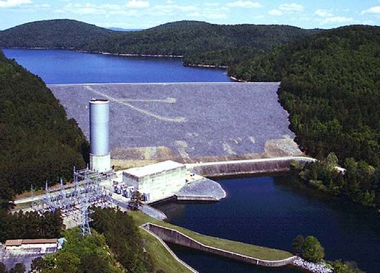
Yes, there are several dams and reservoirs located along the upper Ouachita River within the Ouachita Mountains of Arkansas. These structures serve multiple purposes, including hydropower generation, flood control, and the provision of recreational facilities1.
The primary dams and their associated reservoirs include:
- Remmel Dam (1924): Impounds Lake Catherine.1
- Carpenter Dam (1931): Impounds Lake Hamilton.1
- Blakely Mountain Dam (1955): Impounds Lake Ouachita, located near Hot Springs National Park.1
Additionally, the river has been utilized as a navigation route since the late 18th century, with six locks and dams constructed on the river prior to 1924 to facilitate this use.1
What is the length of the Ouachita River and how does it compare to other major rivers in the United States?
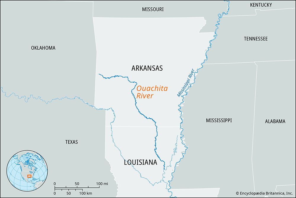
The Ouachita River has a total length of 605 miles (973 km). Rising in the Ouachita Mountains of Arkansas, it flows southeasterly through Arkansas and Louisiana before joining the Red River.1
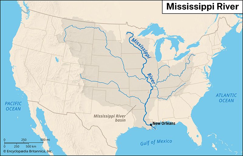
When compared to other major rivers in the United States, the Ouachita is relatively modest in scale. North America is characterized by immense river systems, such as the Missouri-Mississippi-Ohio network, which drains a vast portion of the continent’s heartland. While the Ouachita serves as a significant regional waterway with a 25,000-square-mile drainage basin, it does not approach the continental magnitude of major systems like the Mackenzie, Colorado, or Columbia rivers, which span thousands of miles and drain much larger areas.21
How has the Ouachita River influenced the cultural and economic development of Arkansas and Louisiana?
The Ouachita River has played a significant role in the development of Arkansas and Louisiana, serving as a vital transportation artery since the late 18th century. Its name, derived from an Indigenous tribe, reflects the deep historical roots of the region.
Economically, the river has been essential for commerce and infrastructure. The construction of six locks and dams prior to 1924, along with later channel improvements—such as the 1950 link to Camden—facilitated navigation and trade. In the 20th century, the river’s upper reaches were further developed for hydropower, flood control, and recreation through the creation of major reservoirs like Lake Ouachita, Lake Hamilton, and Lake Catherine.
Culturally, the river corridor has supported urban centers such as Arkadelphia and Monroe. While the rugged Ouachita Mountains fostered rural isolation, the river’s proximity to the Coastal Plain helped shape the agricultural and industrial patterns of southern Arkansas and northern Louisiana.
What recreational activities are popular on and around the Ouachita River?
The Ouachita River and its surrounding region offer diverse recreational opportunities, primarily centered around the multipurpose dams and reservoirs located in the Ouachita Mountains.
The upper reaches of the river feature three major dams that have created significant recreational hubs:
- Lake Ouachita and Lake Hamilton: Impounded by the Carpenter and Blakely Mountain dams, these lakes are located near Hot Springs National Park. These areas are popular for water-based activities, including boating, fishing, and swimming, supported by developed recreational facilities.1
- Lake Catherine: Created by the Remmel Dam, this reservoir provides additional space for outdoor leisure and water sports.1
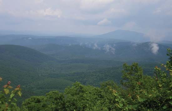
Beyond the immediate river impoundments, the surrounding Ouachita Mountains provide a rugged landscape for hiking and exploring the natural beauty of the oak and pine forests that cover the region. The proximity to Hot Springs National Park also allows visitors to engage in historical and nature-focused activities that have drawn people to the area for centuries.51
Sources
- Ouachita River — Encyclopædia Britannica
- North America - Drainage — Encyclopædia Britannica
- Ouachita — Merriam-Webster
- Arkansas - Settlement patterns and demographic trends — Encyclopædia Britannica
- Ouachita Mountains — Encyclopædia Britannica
Published on · 3 min read