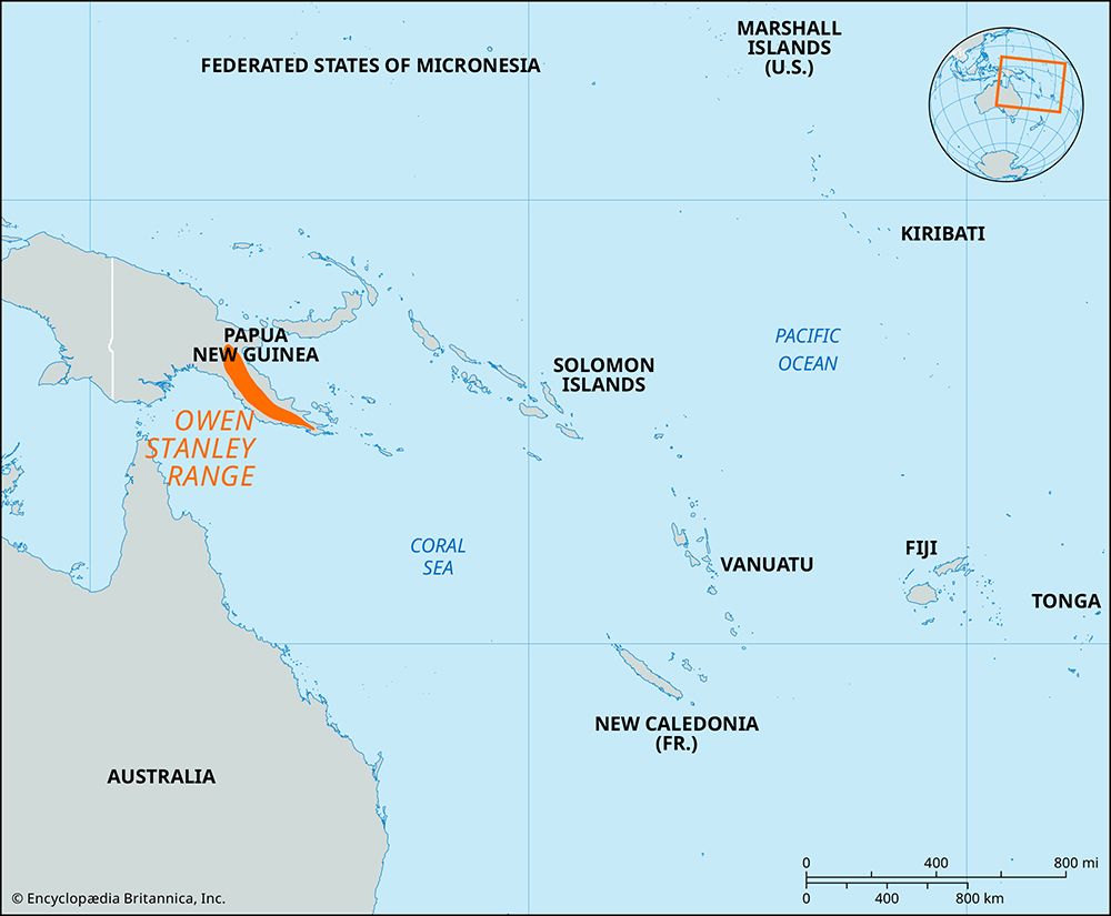
Owen Stanley Range
During World War II, the Owen Stanley Range served as a critical theater of war in New Guinea. After the Battle of the Coral Sea forced the Japanese to…
What role did the Owen Stanley Range play during World War II?
During World War II, the Owen Stanley Range served as a critical theater of war in New Guinea. After the Battle of the Coral Sea forced the Japanese to abandon their plans for an amphibious assault on Port Moresby, they attempted an overland invasion by crossing the range via the Kokoda Track.12
This narrow, 60-mile footpath cut through dense, steep jungle, creating an environment of extreme physical hardship. Throughout the Kokoda Track Campaign, Australian and Papuan forces engaged in a grueling fighting retreat against advancing Japanese troops. The Japanese reached within 35 miles of Port Moresby before supply shortages, disease, and the diversion of resources to Guadalcanal forced their withdrawal.12
The campaign resulted in the first land defeat of the Japanese in the Pacific War. The terrain was so difficult that New Guinean laborers, affectionately dubbed “fuzzy wuzzy angels” by Australian soldiers, were essential for transporting supplies and evacuating the wounded.12
How do the indigenous peoples of Papua New Guinea interact with and utilize the Owen Stanley Range?
The indigenous peoples of Papua New Guinea have historically interacted with the Owen Stanley Range through traditional land use and, more recently, through their vital roles in regional history and modern tourism.
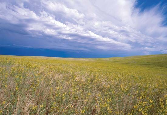
In the context of the range’s rugged environment, indigenous communities have long engaged in practices such as hunting and agriculture, which have shaped the local grassland environments in certain valleys through the controlled burning of vegetation. Today, conservation efforts involve local landowners in projects that provide income through the sustainable management of unique biological resources, including the regulated cultivation of butterflies, orchids, and crocodiles.1
During World War II, the indigenous population played a critical role in the Kokoda Track Campaign. Serving as members of the Papuan Infantry Battalion or as essential laborers, they navigated the range’s treacherous terrain to transport supplies and evacuate wounded Allied soldiers. Their contributions were so vital that they became known as “fuzzy wuzzy angels,” a testament to their indispensable support in the face of extreme conditions. Today, the Kokoda Track has evolved into a significant site for international tourism and pilgrimage.23
How does the Owen Stanley Range influence the country’s river systems and watersheds?
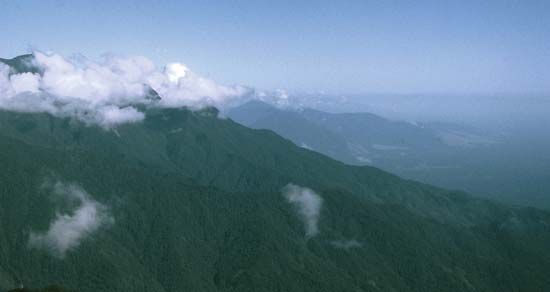
The Owen Stanley Range acts as a significant hydrological divide for the island of New Guinea. Because the range rises abruptly to heights of up to 13,240 feet (4,040 meters), it intercepts moisture-laden winds, resulting in heavy rainfall across its forested slopes.1
This precipitation feeds several important river systems that drain the highlands. Rivers such as the Kemp Welch and the Mambare flow southward from the range, while the Musa River flows toward the north.1
The range’s influence on watersheds is further defined by the interaction between elevation and wind systems. When mountainous land lies across the path of prevailing winds, it forces air upward, causing it to cool and release moisture. This process creates areas of extremely high rainfall, which sustain the region’s river networks. Conversely, areas shielded by the range, such as the coastal region near Port Moresby, experience significant rain shadow effects, resulting in much lower annual precipitation that impacts local water supplies and the potential for hydroelectric power generation.4
What challenges does the Owen Stanley Range pose for transportation and infrastructure development in Papua New Guinea?
The Owen Stanley Range presents formidable challenges to transportation and infrastructure development due to its extreme topography and dense environment. Rising abruptly from the coastal plains to heights of over 13,000 feet, the range is characterized by steep, heavily forested terrain that makes large-scale construction projects exceptionally difficult and costly.1
Historically, the region has lacked modern road networks, relying instead on narrow, rugged footpaths like the Kokoda Trail. This 55-mile route illustrates the primary obstacle: the terrain is so restrictive that it remains a challenging trek even for experienced hikers, let alone for the movement of heavy machinery or commercial transport. The combination of high-altitude peaks, deep valleys, and dense vegetation creates a natural barrier that effectively isolates communities and complicates the integration of infrastructure across the southeastern portion of Papua New Guinea.1
Sources
- Owen Stanley Range — Encyclopædia Britannica
- Kokoda Track Campaign — Encyclopædia Britannica
- Papua New Guinea - Plant and animal life — Encyclopædia Britannica
- Papua New Guinea - Climate of Papua New Guinea — Encyclopædia Britannica
- Papua New Guinea - Relief — Encyclopædia Britannica
Published on · 3 min read