Panay
Panay is the westernmost island of the Visayan Islands in the central Philippines. Roughly triangular in shape, it is surrounded by the Sibuyan, Visayan, and…
What is the geographical location and size of Panay Island in the Philippines?
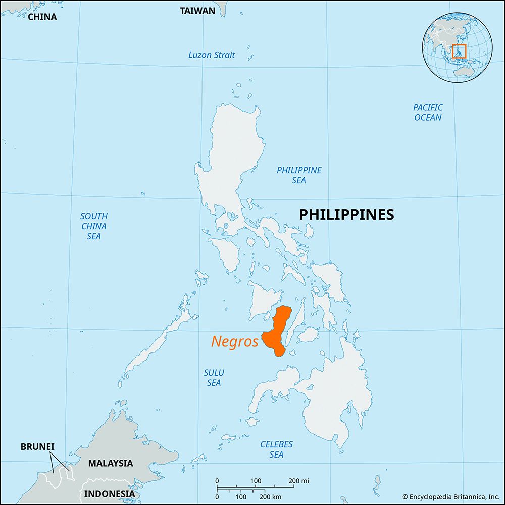
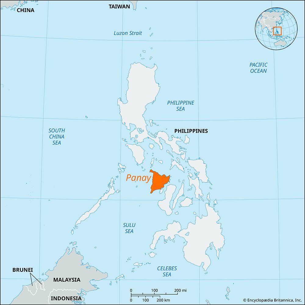
Panay is the westernmost island of the Visayan Islands in the central Philippines1. Roughly triangular in shape, it is surrounded by the Sibuyan, Visayan, and Sulu seas, while the Guimaras Strait separates it from the island of Negros to the southeast.1
The island covers an area of approximately 4,446 square miles (11,515 square kilometers). Its geography is defined by a rugged mountain range that parallels the western coast and a densely populated, fertile plain in the east that extends about 95 miles (155 km) from the northern to the southern coasts. Additionally, a wide lowland area in the southeast is formed by the deltas of the Jalaud, Jaro, and Sibalom rivers.1
What are the main cultural and ethnic groups found on Panay Island?
Panay Island is home to a diverse range of cultural and ethnic groups, primarily defined by the following populations:
- Hiligaynon (Ilongo): The primary ethnolinguistic group on the island, the Hiligaynon are one of the largest ethnic groups in the Philippines. They are concentrated on Panay and western Negros, speaking a Visayan language of the Austronesian family. Most Hiligaynon reside in rural areas, where they engage in farming or fishing.1456
- Ati: The Ati are the indigenous inhabitants of Panay. Their historical presence on the island is central to local culture, most notably commemorated in the Ati-Atihan Festival, which blends indigenous traditions with Catholic themes.27
- Nomadic Peoples: In addition to the major settled populations, various nomadic groups inhabit the rugged, mountainous regions along the western coast of the island.1
The island’s cultural landscape is further enriched by its history of migration and colonial influence, which has contributed to the broader ethnic diversity found throughout the Philippine archipelago.74
How does Panay Island fit into the broader context of the Philippine archipelago?
Panay Island serves as a vital component of the Visayan Islands, which constitute the central group of the Philippines archipelago. Positioned as the westernmost island of this central cluster, it is strategically located between the Sibuyan, Visayan, and Sulu seas.18
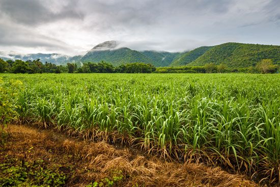
Within the broader national context, Panay contributes significantly to the country’s agricultural and economic landscape. Its fertile eastern plains are intensely farmed for sugarcane and rice, while its northern and eastern coastal regions host large concentrations of fishponds. Furthermore, the island is a notable destination within the Philippine tourism sector, particularly due to Boracay Island, which lies just off its northern tip and attracts international visitors.13
As part of the diverse Philippine geography, Panay’s rugged western mountains and lowland river deltas reflect the varied topography characteristic of the larger archipelago. Its major urban centers, such as Iloilo City and Roxas, function as key regional hubs within the nation’s administrative and economic framework.18
What are some of the most important cities and towns on Panay Island?
The most significant urban centers on Panay Island are Iloilo City and Roxas.10
- Iloilo City: Located on the southeastern coast, this chartered city serves as the primary commercial hub of Panay and a vital regional center for sugar exports. It is a major fishing port and features a compact, highly urbanized core known for its historic churches and traditional textile industries, such as jusi and piña fabrics.1
- Roxas: Situated on the northern coast along the Panay River delta, this city—formerly known as Capiz—acts as an essential entrepôt for the surrounding fertile agricultural region. It serves as the northern terminus for the transisland railway and facilitates significant interisland traffic through its outport, Port Capiz.11
Additionally, the nearby town of Panay, located just southeast of Roxas, holds historical significance as the site of the second Spanish settlement in the Philippines, established in 1569.Philippines](https://www.britannica.com/place/Philippines), established in 1569.11
Sources
- Panay — Encyclopædia Britannica
- Visayan Islands — Encyclopædia Britannica
- Panay — Merriam-Webster
- Ati — Merriam-Webster
- Hiligaynon — Encyclopædia Britannica
- Ati-Atihan Festival: Top Questions — Encyclopædia Britannica
- Philippines - Ethnic groups — Encyclopædia Britannica
- Philippines - Services — Encyclopædia Britannica
- Philippines - Land — Encyclopædia Britannica
- Iloilo City — Encyclopædia Britannica
- Roxas — Encyclopædia Britannica
Published on · 3 min read