Papaloapan River
The Papaloapan River is a significant waterway located in the state of Veracruz, southeastern Mexico. It is formed by the confluence of several rivers near…
What is Papaloapan River?
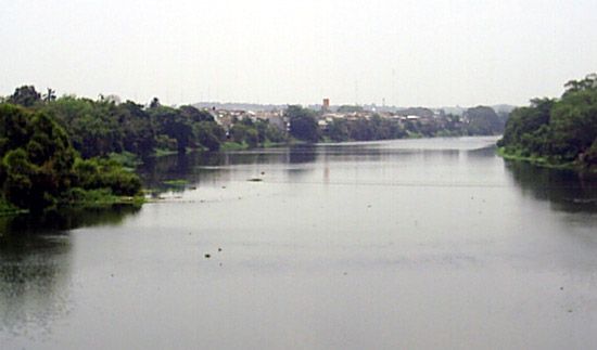
The Papaloapan River is a significant waterway located in the state of Veracruz, southeastern Mexico. It is formed by the confluence of several rivers near the border of Oaxaca and flows northeast for 76 miles (122 km) before reaching the Alvarado Lagoon.
The river’s headstreams originate in the Sierra Madre Oriental and the Sierra Madre del Sur, including the Santo Domingo, Tonto, and Valle Nacional. The system is navigable for 150 miles (240 km) upstream from the lagoon. Since 1947, the river basin has undergone extensive government development, including the drainage of swampy lowlands and the construction of dams for flood control and hydroelectric power. This initiative served as a model for subsequent development projects throughout the gulf lowlands.1
How do hydroelectric dams impact local ecosystems?
Hydroelectric dams significantly alter local ecosystems by transforming river environments to serve human needs, often resulting in profound ecological and social consequences.23
Key Environmental Impacts
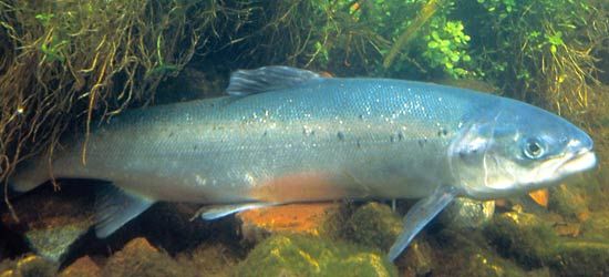
- Disruption of Aquatic Life: Dams act as physical barriers that block or impede the migration of spawning fish, such as salmon. While fish passes—including fish ladders and locks—are sometimes used to mitigate these effects, they have struggled to prevent dramatic population declines in several river systems.24
- Habitat Inundation: The creation of large reservoirs leads to the permanent submergence of vast areas, destroying terrestrial flora and fauna, as well as picturesque landscapes.23
- Sedimentation and Erosion: Dams trap sediment in reservoirs, which reduces storage capacity and alters the natural sediment flow downstream. Conversely, the release of sediment-depleted water from a dam can cause increased erosion of the stream channel below the structure.53
- Water Quality and Emissions: Reservoirs can contribute to methane production through the decomposition of submerged vegetation. Additionally, evaporation from large reservoirs can be substantial in arid regions.63
Social and Cultural Consequences
Large-scale dam projects often require the displacement of human communities, sometimes involving millions of people, and the loss of cultural heritage sites located within reservoir areas.23
What are the main geographical features of the Sierra Madre mountain ranges?
The Sierra Madre is a vast mountain system in Mexico that encloses the central Mexican Plateau. The system is primarily composed of three major ranges:
- Sierra Madre Occidental: Extending 700 miles (1,100 km) along the west, this range features formidable escarpments and deep canyons known as barrancas, such as the Copper Canyon. Its summits often exceed 6,000 feet (1,800 meters), with some peaks surpassing 10,000 feet.7
- Sierra Madre Oriental: Located to the east, this range consists of folded sedimentary rocks. It is characterized by rugged terrain, steep-walled narrow valleys, and peaks that reach over 10,000 feet, such as Cerro Peña Nevada.78
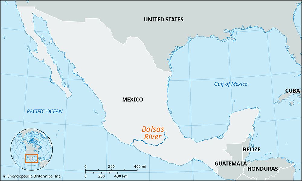
- Sierra Madre del Sur: Situated in the south, this region is defined by a labyrinth of narrow ridges and steep-flanked valleys. It is highly dissected, with very little flatland, and is separated from the north by the Balsas River depression.78
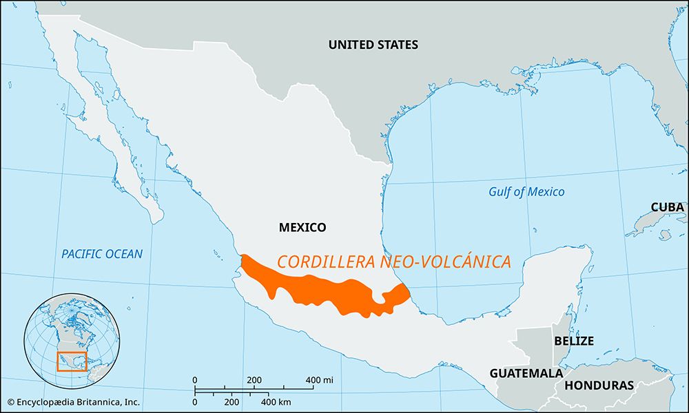
The system also includes the Cordillera Neo-Volcánica, a volcanic zone spanning the country that features spectacular peaks like Pico de Orizaba.8
How does the Alvarado Lagoon ecosystem function?
The Alvarado Lagoon serves as the terminus for the Papaloapan River, a major waterway in the Mexican state of Veracruz. The lagoon functions as a critical hydrological hub, receiving the flow of the river after it travels northeastward from its headstreams in the Sierra Madre Oriental and the Sierra Madre del Sur.1
The ecosystem is deeply influenced by the broader Papaloapan River basin, which has undergone significant government-led development since 1947. These interventions include the draining of swampy lowlands for reclamation and the construction of dams for flood control and hydroelectric power, which directly affect the water flow and sediment dynamics entering the lagoon. Additionally, the lagoon system remains a vital navigational artery, accessible for 150 miles upstream from the coast. While the provided information details the river’s role and human development in the basin, the specific biological or internal ecological processes of the Alvarado Lagoon itself are not detailed in the available records.1
Sources
- Papaloapan River — Encyclopædia Britannica
- dam - Rise of environmental and economic concerns — Encyclopædia Britannica
- dam - Fish passes — Encyclopædia Britannica
- river - Environments of deposition — Encyclopædia Britannica
- reservoir — Encyclopædia Britannica
- hydroelectric power — Encyclopædia Britannica
- Sierra Madre - Physiography of the Sierra Madre — Encyclopædia Britannica
- Sierra Madre — Encyclopædia Britannica
- Sierra Madre - Geology — Encyclopædia Britannica
- Sierra Madre - Plant and animal life — Encyclopædia Britannica
- lagoon - Storms and catastrophic events — Encyclopædia Britannica
Published on · 3 min read