Pearl River
The Pearl River is a river located in the southern United States, not to be confused with the Pearl River system in China.
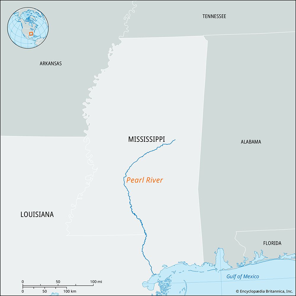
What is the geographical location and course of the Pearl River in the United States?
The Pearl River is a river located in the southern United States, not to be confused with the Pearl River system in China.
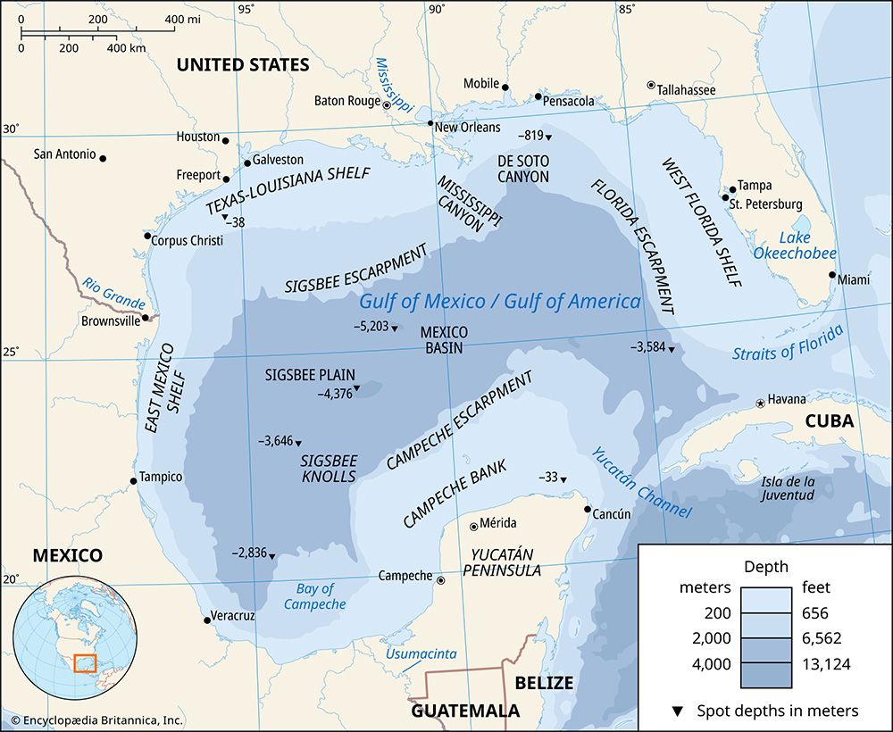
The American Pearl River rises in east-central Mississippi and flows southwestward through Jackson. It then turns generally southward into Louisiana, passing Bogalusa before emptying into the Mississippi Sound on the Gulf of Mexico. West of Picayune, Mississippi, the river divides into two channels: the East Pearl and the West Pearl. The lower course of the river and the East Pearl serve as the boundary between Mississippi and Louisiana.1
Spanning approximately 411 miles (661 km), the river and its tributaries drain about 7,600 square miles (19,700 square km). Key cities along its course include Columbia, Monticello, and Jackson in Mississippi, as well as Bogalusa in Louisiana.1
What are the major tributaries of the Pearl River?
The major tributaries of the Pearl River in the United States include the following:
These tributaries, along with the main stem of the Pearl River, help drain approximately 7,600 square miles of land in the southern United States.1
How does the Pearl River contribute to the economy and environment of the regions it flows through?
The Pearl River in the United States serves as a vital resource for the regions through which it flows, balancing economic utility with environmental management.
Economic and Infrastructure Contributions
The river supports regional commerce through navigation and water management. Locks on the West Pearl River, constructed in 1953, maintain a 7-foot channel that facilitates transport from the river’s mouth to Bogalusa, Louisiana. Furthermore, the Ross Barnett Reservoir located north of Jackson, Mississippi, is a critical piece of infrastructure that provides essential water supplies for the surrounding areas.1
Environmental Significance
The river system plays a key role in regional ecology and safety:
- Flood and Pollution Control: The Ross Barnett Reservoir is instrumental in managing water levels and mitigating pollution, helping to protect the river’s health.1
- Biodiversity: The Honey Island Swamp, situated in the mid-delta area, is a significant environmental asset noted for its diverse wildlife and fishing opportunities.1
- Recreation: The reservoir and surrounding areas provide important recreational facilities for the public.1
What is the length of the Pearl River and how does it compare to other major rivers in the United States?
The Pearl River is approximately 411 miles (661 km) long.1
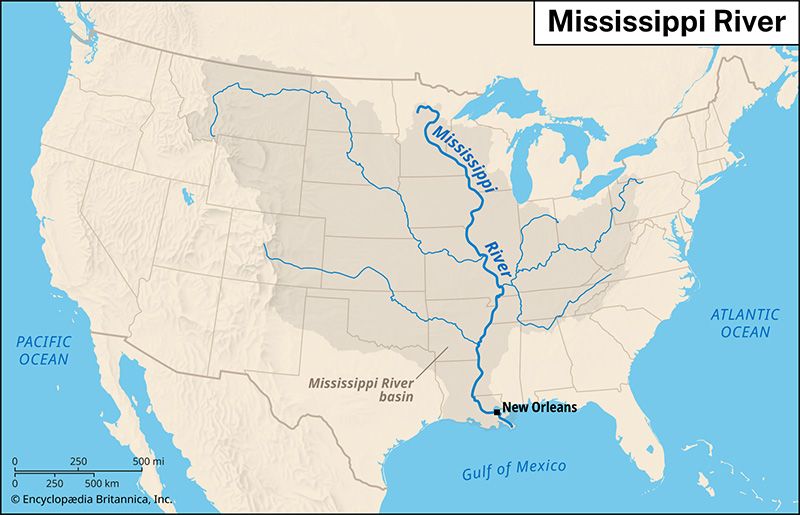
Compared to the major river systems of the United States, the Pearl River is relatively modest in scale. While North America is home to some of the world’s longest and most voluminous rivers—such as the Mississippi River, the Missouri River, and the Columbia River—the Pearl River functions as a regional drainage system in the southern United States. It drains an area of about 7,600 square miles (19,700 square km), which is significantly smaller than the vast basins of the continent’s primary continental rivers. Unlike the massive, long-distance rivers that traverse the Interior Lowlands or originate in the Rocky Mountains, the Pearl River is a localized system that flows from east-central Mississippi directly into the Gulf of Mexico.165
Sources
- Pearl River — Encyclopædia Britannica
- Guangdong - Drainage — Encyclopædia Britannica
- Xi River system — Encyclopædia Britannica
- Mississippi: Top Questions — Encyclopædia Britannica
- Pearl — Merriam-Webster
- North America - Drainage — Encyclopædia Britannica
Published on · 2 min read