Prince Edward Island
Prince Edward Island and Marion Island are the two components of the Prince Edward Islands, a group of sub-Antarctic islands located in the southern Indian…
What is the relationship between Prince Edward Island and nearby Marion Island?
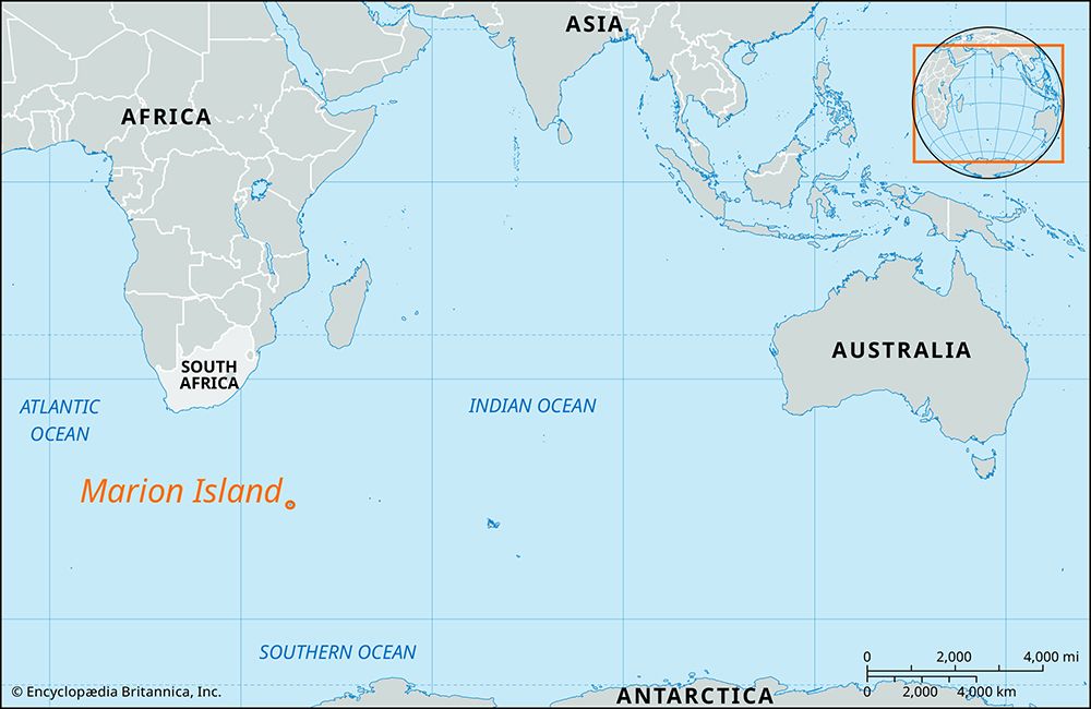
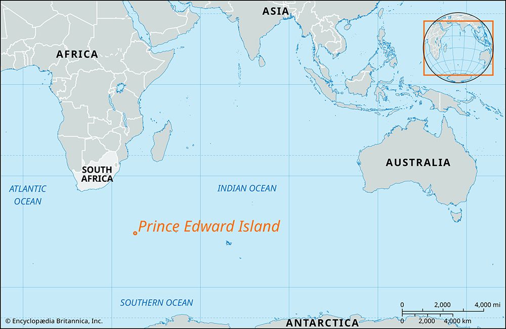
Prince Edward Island and Marion Island are the two components of the Prince Edward Islands, a group of sub-Antarctic islands located in the southern Indian Ocean.12
It is important to clarify that the Prince Edward Island mentioned in your query is the volcanic island in the Indian Ocean, not the Canadian province of the same name. These two islands are situated approximately 12 miles (19 km) apart, with Prince Edward Island lying to the north-northeast of Marion Island. Both islands are of volcanic origin, share a similar cool, stormy climate, and have been under the sovereignty of South Africa since 1947. While Marion Island hosts a meteorological station, both islands are otherwise uninhabited, save for occasional biological research teams.231
What is the significance of Prince Edward Island for South Africa’s territorial claims?
The significance of Prince Edward Island to South Africa lies primarily in the formalization of national sovereignty over the Prince Edward Islands group. While the islands were historically frequented by seal hunters and whalers during the 19th and 20th centuries, South Africa officially proclaimed sovereignty over the territory in 1947 and completed its annexation in 1948.12
By establishing control over these sub-Antarctic islands, South Africa secured a strategic presence in the southern Indian Ocean, approximately 1,200 miles (1,900 km) southeast of Cape Town. Although Prince Edward Island itself remains uninhabited except for occasional biological research teams, its status as part of the South African territory is maintained through this historical claim and ongoing scientific oversight. The islands serve as a critical site for sub-Antarctic research, contributing to the nation’s role in environmental and meteorological monitoring in the region.124
What is the geographical location and size of Prince Edward Island in South Africa?
Prince Edward Island, located in the southern Indian Ocean, is a sub-Antarctic territory of South Africa. It is situated approximately 1,200 miles (1,900 km) southeast of Cape Town and lies 12 miles (19 km) north-northeast of its neighbor, Marion Island.2
The island covers an area of 18 square miles (47 square km). It is important to distinguish this volcanic island from the Canadian province of the same name, which is significantly larger, covering 2,185 square miles (5,660 square km).251
How did Prince Edward Island get its name and when was it discovered?
Prince Edward Island was discovered in January 1772 by the French explorer Marc-Joseph Marion du Fresne. The island received its current name from the British navigator James Cook, who explored the region in 1776.2
It is important to note that this island is distinct from the Canadian province of the same name, which is located in the Gulf of Saint Lawrence.7
Sources
- Marion Island — Encyclopædia Britannica
- Prince Edward Island — Encyclopædia Britannica
- Prince Edward Island - History — Encyclopædia Britannica
- list of islands - South Africa — Encyclopædia Britannica
- Prince Edward Island — Encyclopædia Britannica
- Prince Edward Island: Country Facts — Encyclopædia Britannica
- Prince Edward Island — Merriam-Webster
Published on · 2 min read