Providenciales
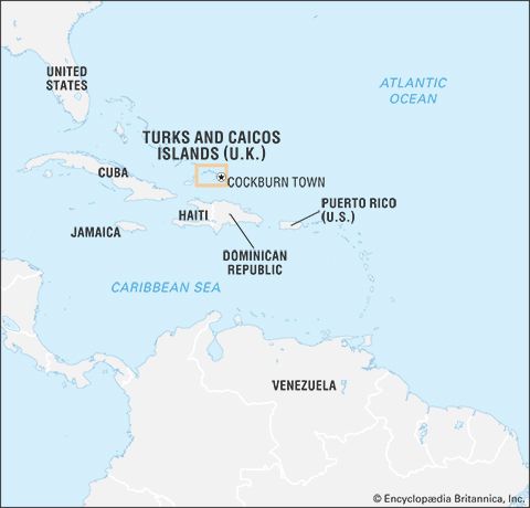
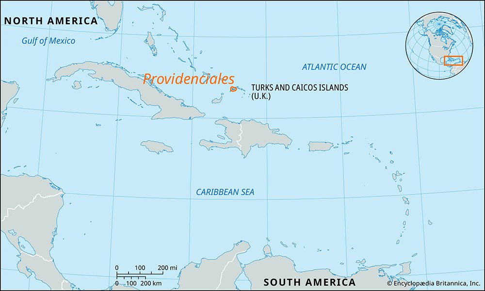
Providenciales, located in the Turks and Caicos Islands, features a tropical savanna climate that is notably drier than many other parts of the Caribbean.…
How does the climate of Providenciales compare to other Caribbean islands?
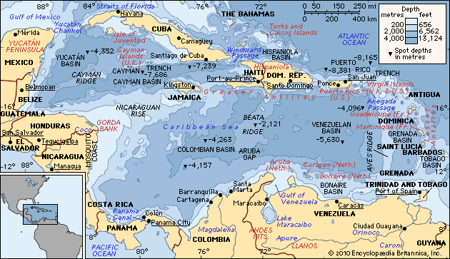
Providenciales, located in the Turks and Caicos Islands, features a tropical savanna climate that is notably drier than many other parts of the Caribbean. While the broader Caribbean Sea region experiences vast rainfall variations—ranging from 10 inches annually in some areas to over 350 inches in others—Providenciales and the surrounding archipelago are among the driest islands in the Bahamas chain, with annual precipitation averaging only about 29 inches.12
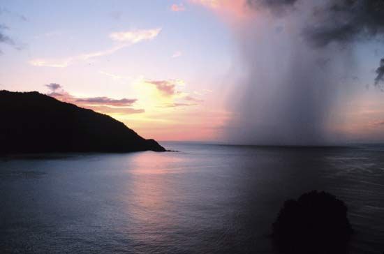
Like much of the region, the island’s climate is moderated by easterly trade winds, with winter temperatures averaging 75–80 °F (24–27 °C) and summer temperatures reaching 85–90 °F (29–32 °C). The island is also subject to the hurricane season from June to November, a common feature for northern Caribbean islands. While these storms are generally less frequent in the Caribbean than in the western Pacific, they remain a significant risk for property damage and beach erosion in the Turks and Caicos.12
What are the main geographical features of Providenciales?
Providenciales, a limestone island in the Turks and Caicos Islands, is defined by several distinct geographical features:
- Topography: The island is generally low-lying, with its highest point reaching 163 feet (50 meters) in the Blue Hills region of the north-central area. The landscape includes karst features such as caves and sea cliffs, alongside inland marshes and salt ponds that serve as habitats for migratory birds.15
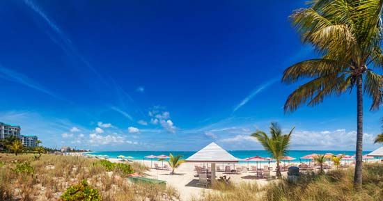
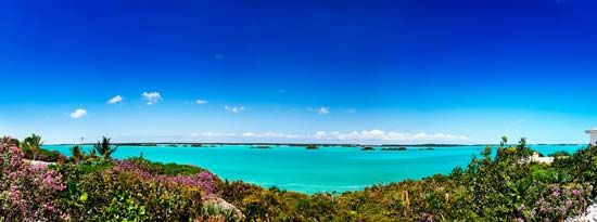
- Coastline and Marine Environment: The northern shore is famous for the 12-mile-long Grace Bay beach, which is protected by a barrier reef. To the south lies the Caicos Bank, a shallow sea area rich in conch and lobster. Other notable coastal features include Chalk Sound, a turquoise bay filled with tiny islets, and various protected marine areas like Princess Alexandra National Park and Northwest Point National Park.1
- Cays and Surroundings: Several small cays lie off the island’s coast, including Little Water Cay, which is known for its iguana population.1
How accessible is Providenciales by air and sea, and what transportation options are available on the island?
Providenciales serves as the primary gateway to the Turks and Caicos Islands, offering established infrastructure for both air and sea travel.
Air and Sea Access
- Air Travel: The Providenciales International Airport, situated west of the main locality, functions as the primary point of entry for the entire territory.1
- Sea Travel: The commercial port of South Dock, located east of Sapodilla Bay in the south, is equipped to accommodate large yachts and container ships. Additionally, the island’s coastline features numerous marinas that support sport fishing and various forms of aquatic recreation.1
Transportation on the Island
While the provided information highlights that the island has evolved into the most developed center of the Turks and Caicos, it does not detail specific internal transportation options such as public transit, taxi services, or car rental availability. The island’s layout connects key areas like Blue Hills, The Bight, and the central service district, but visitors typically rely on private or commercial transport to navigate between these settlements and the various coastal attractions.1
What is the cultural and historical significance of Providenciales in the context of Turks and Caicos Islands?
Providenciales, often referred to as “Provo,” has transformed from a sparsely populated, largely undeveloped island into the primary population and economic center of the Turks and Caicos Islands.
Historical Significance
Historically, the island features remnants of early colonial activity, such as the ruins of Cheshire Hall, a 19th-century cotton plantation. Another point of historical interest is found near Sapodilla Bay, where shipwrecked sailors carved the names of their vessels into exposed limestone, serving as a memorial to their experiences.
Cultural and Modern Development
Until the 1990s, Providenciales remained relatively quiet with a population under 5,000. The opening of its first resort in 1990 triggered a rapid development boom, turning the island into a global tourist destination. This growth attracted a diverse population, including migrant workers from across the Caribbean and retirees from around the world, creating a cosmopolitan community. Today, while it serves as the territory’s administrative and service hub, it maintains a balance between its modern tourism-driven economy and its rugged, natural landscapes, such as the protected marine environments of Princess Alexandra National Park.
Sources
- Providenciales — Encyclopædia Britannica
- Turks and Caicos Islands - Land — Encyclopædia Britannica
- Caribbean Sea - Climate — Encyclopædia Britannica
- Caribbean Sea - Resources — Encyclopædia Britannica
- Turks and Caicos Islands — Encyclopædia Britannica
- Grand Turk — Encyclopædia Britannica
- Cockburn Harbour — Encyclopædia Britannica
Published on · 3 min read