Rajasthan Steppe
The region commonly referred to as the Rajasthan Steppe is a desert located in west-central Rajasthan state, in northwestern India. It covers an area of…
What is the geographical location and extent of the Rajasthan Steppe desert in India?
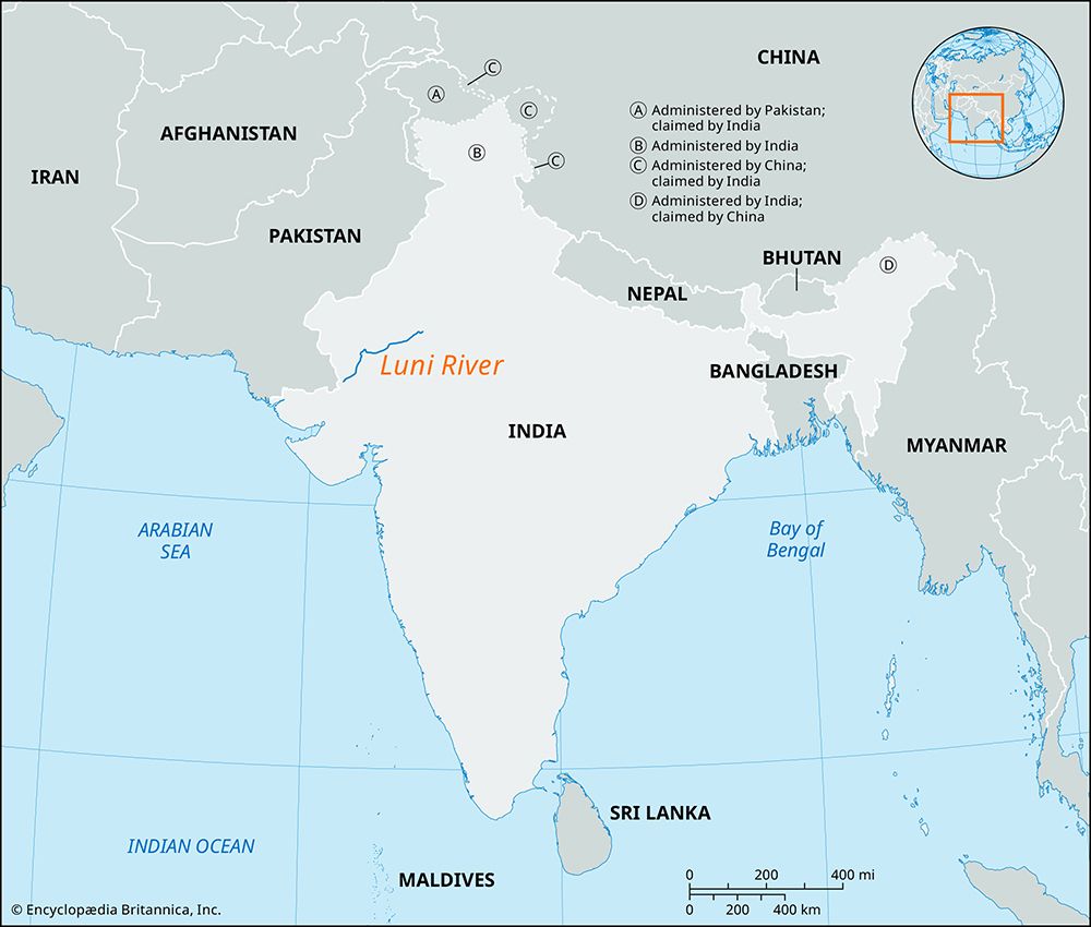
The region commonly referred to as the Rajasthan Steppe is a desert located in west-central Rajasthan state, in northwestern India. It covers an area of approximately 54,800 square miles (142,000 square km).1
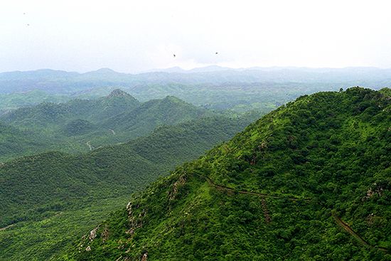
Geographically, the terrain slopes downward from the Aravalli Range in the northeast toward the Luni River basin in the southeast. The landscape is characterized by thorny scrub, acacia, and palm trees, with an inland drainage pattern that features several salt lakes, such as Sambhar. Important urban centers within this region include Jodhpur, Ganganagar, Churu, and Jhunjhunu.1
It is important to note that this region is distinct from the larger Thar Desert, which spans a broader territory of 77,000 square miles across both India and Pakistan.2
What is the geological history of the Rajasthan Steppe desert?
The geological history of the Rajasthan Steppe is defined by its proximity to ancient rock formations and its position relative to the Aravalli Range, which is the oldest mountain range in India, estimated to be more than 2 billion years old.2
The region features diverse bedrock compositions that reflect its complex geological past. Near Jodhpur, the bedrock is similar to that of the Vindhya Range, while areas further south contain Malani volcanic and Jalore Siwana granitic rocks. The landscape slopes downward from the Aravalli Range toward the Luni River basin, where surface rocks show significant evidence of wind erosion.5
Additionally, the region’s inland drainage pattern has resulted in the formation of various salt lakes, such as Sambhar Salt Lake. These depressions, including those containing soluble sodium compounds, have accumulated over time through the evaporation of water brought by annual river flooding. The desert soils in this area are notably characterized by a high percentage of these soluble salts.51
What are the unique climatic conditions that characterize the Rajasthan Steppe desert?
The Rajasthan Steppe is characterized by an extremely arid climate, marked by significant temperature extremes and minimal, highly variable precipitation.36
Temperature Extremes
The region experiences intense heat during the summer months. June is typically the warmest month, with daily temperatures frequently rising from the mid-80s F (about 30 °C) to nearly 110 °F (low 40s C). Conversely, winters are cool; in January, the coldest month, daily maximums range from the upper 60s to the mid-70s F (low to mid-20s C), while minimum temperatures often drop into the mid-40s F (about 7 °C).34
Precipitation and Winds
Rainfall is scarce, averaging only about 4 inches (100 mm) annually in the western desert tracts. The region is subject to hot, dry winds and frequent dust storms, particularly during the summer. While the broader region receives the bulk of its limited annual rainfall during the southwest monsoon season (July to September), the Rajasthan Steppe often remains bypassed by these moisture-bearing winds, contributing to its persistent aridity. The region is also prone to occasional severe droughts, which, combined with the harsh climate, significantly impact local agriculture.316
How does the Rajasthan Steppe compare to other desert regions in India, such as the Thar Desert?
The Rajasthan Steppe and the Thar Desert are both arid regions located in northwestern India, but they differ in scale, geography, and specific characteristics.
- Scope and Size: The Thar Desert is a larger, transnational region covering approximately 77,000 square miles (200,000 square km) across both India and Pakistan. The Rajasthan Steppe is a smaller, state-specific region within west-central Rajasthan, encompassing about 54,800 square miles (142,000 square km).21
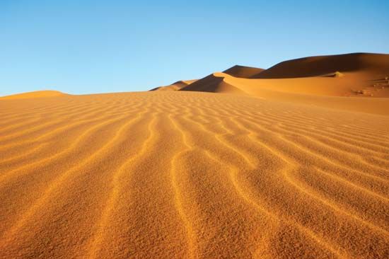
- Terrain: The Thar is defined primarily by rolling sand hills and shifting sand dunes. In contrast, the Rajasthan Steppe features a more varied landscape that slopes from the Aravalli Range toward the Luni River basin, characterized by thorny scrub, acacia, and palm trees.291
- Geology and Drainage: While both rely on the Aravalli Range as a geographic marker, the Rajasthan Steppe is notable for its inland drainage system, which has created several salt lakes like Sambhar, and its soils contain a high percentage of soluble salts.1
Sources
- Thar Desert — Encyclopædia Britannica
- Rajasthan Steppe — Encyclopædia Britannica
- Rajasthan - Climate — Encyclopædia Britannica
- Rajasthan: Top Questions — Encyclopædia Britannica
- Sambhar Salt Lake — Encyclopædia Britannica
- Aravalli Range — Encyclopædia Britannica
- Aravalli Range: Top Questions — Encyclopædia Britannica
- Thar Desert - Land — Encyclopædia Britannica
- India - The Indo-Gangetic Plain — Encyclopædia Britannica
- Rajasthan - Relief — Encyclopædia Britannica
Published on · 3 min read