Resia Pass
The Resia Pass is a mountain pass located at an elevation of 4,934 feet (1,504 meters) that serves as a geographic divide between the Rhaetian Alps and the…
What is the geological formation of the Resia Pass, and how was it created?
The Resia Pass is a mountain pass located at an elevation of 4,934 feet (1,504 meters) that serves as a geographic divide between the Rhaetian Alps and the Ötztal Alps. It functions as a watershed boundary between the Adriatic and Black seas, separating the Inn River valley in Austria from the Adige River valley in Italy.1
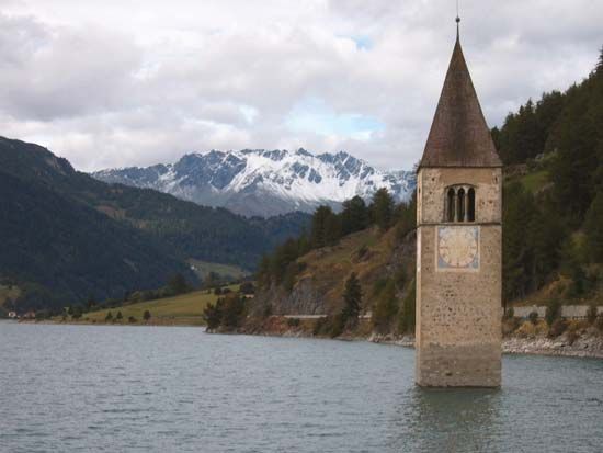
Regarding your query on its specific geological formation and creation, the available information does not detail the tectonic or glacial processes that formed the pass itself. It notes that the landscape includes features such as the Inn Gorge and a man-made lake, Lake Resia, which was created in 1949 by merging two smaller bodies of water.1
How has the Resia Pass been used in modern times for transportation and tourism?
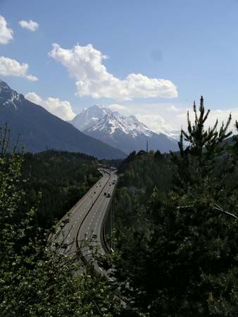
In modern times, the Resia Pass serves as a vital transit corridor connecting Austria and Italy. The Resia Road provides a key route for travelers, beginning near Pfunds, Austria, and ascending through the Finstermünz Pass above the Inn Gorge. After passing through the village of Nauders and crossing the Resia Pass, the road descends toward Bolzano, where it integrates with the major road and railway network of the Brenner Pass.1
Beyond its function as a transportation artery, the area is notable for Lake Resia. Created in 1949 by merging two smaller lakes, this man-made reservoir has become a significant landmark for visitors traveling through the region.1
What is the elevation of the Resia Pass, and how does it compare to other mountain passes in the region?
The Resia Pass is situated at an elevation of 4,934 feet (1,504 meters).1
When compared to other prominent mountain passes in the region, its elevation is relatively moderate, though it remains higher than some of the major transit corridors through the Alps. For instance, the Brenner Pass, which is one of the lowest and most significant routes through the main chain of the Alps, sits at an elevation of 4,511 feet (1,375 meters). Conversely, the Stelvio Pass is significantly higher, reaching 9,042 feet (2,756 meters), and is recognized as one of the highest road passes in Europe.23
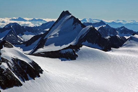
The Alps feature a vast range of elevations, from low-lying pre-Alps to crystalline peaks exceeding 14,000 feet. While the Resia Pass serves as a crucial geographic divide between the Rhaetian Alps and the Ötztal Alps, its elevation reflects the varied topography of the Eastern and Central Alpine segments.41
Where exactly is the Resia Pass located, and which countries does it connect?
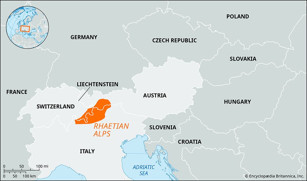
The Resia Pass is located in the Alps, situated just south of the Austrian-Italian border and positioned slightly east of the Swiss frontier.
The pass serves as a vital geographic link between two countries:
- Austria: It connects to the Unterengadin section of the Inn River valley.
- Italy: It connects to the Venosta Valley, which is part of the Adige River valley.
Geographically, the pass acts as a divide between the watersheds of the Adriatic and Black seas, as well as a boundary separating the Rhaetian Alps from the Ötztal Alps.
Sources
- Resia Pass — Encyclopædia Britannica
- Alps - Physiography — Encyclopædia Britannica
- Stelvio Pass — Encyclopædia Britannica
- Rhaetian Alps — Encyclopædia Britannica
- Brenner Pass — Encyclopædia Britannica
Published on · 2 min read