River Blackwater
There are two prominent rivers in Ireland known as the River Blackwater:
What is River Blackwater?
There are two prominent rivers in Ireland known as the River Blackwater:
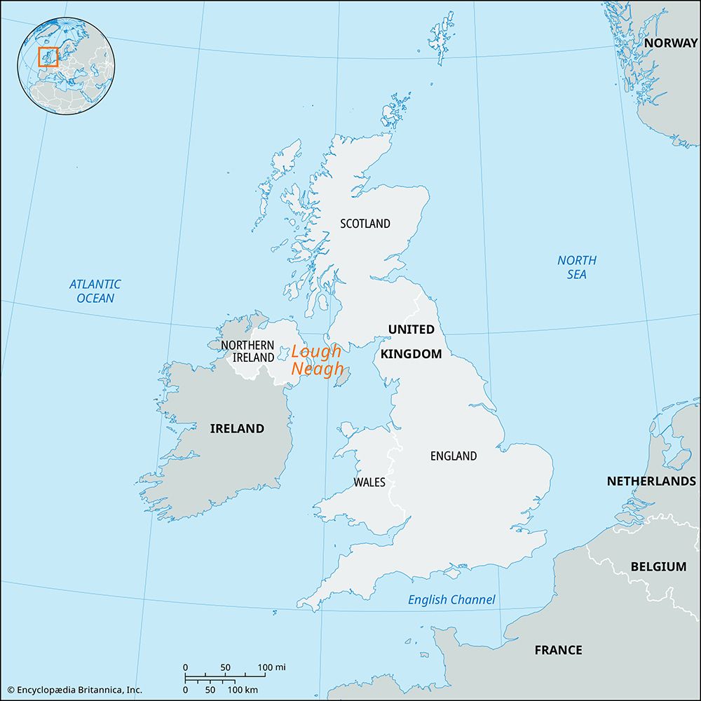
- In Northern Ireland: This river rises in the uplands near the Dungannon-Fermanagh border. It flows for 50 miles (80 km) in a northeast and southeast direction, forming part of the border with the Republic of Ireland before entering Lough Neagh.1
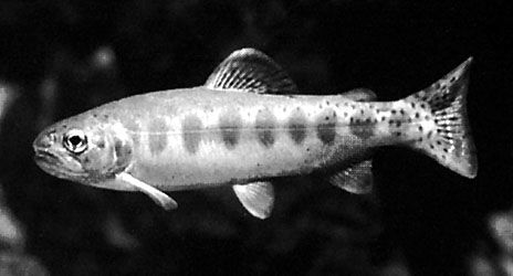
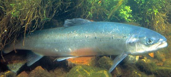
- In the Republic of Ireland: This river rises on the border of County Cork and County Kerry. It flows 104 miles (167 km) primarily eastward through a broad valley before turning south at Cappoquin to reach the sea at Youghal. It is well-regarded for its salmon and trout fishing.2
What is a drumlin and how is it formed?
A drumlin is an elongated or oval-shaped hill, typically composed of till, that is formed by the movement of glacial ice sheets. The term originates from the Gaelic word druim, meaning “rounded hill” or “mound”.34
Formation and Characteristics
Drumlins are created subglacially near the margins of ice sheets, often occurring in large clusters known as drumlin fields. While the exact process is not fully understood, they are believed to be shaped by the streamlined movement of ice over rock debris.34
Key features include:
- Orientation: Their long axes are generally parallel to the direction of glacial flow.34
- Profile: The stoss (glacier) side is typically high and steep, while the lee side is smooth and tapers gently.34
- Composition: Most consist of till, though some feature bedrock cores draped in sediment.34
It is important to distinguish these from rock drumlins, which are erosional bedrock knobs rather than depositional till features. Drumlins often disrupt local drainage, leading to the formation of small lakes and swamps between them.43
Why is the River Blackwater famous for fishing?
The River Blackwater in Ireland is widely recognized for its exceptional trout and salmon fishing. This reputation is largely supported by the river’s diverse physical environment, which transitions from a broad valley characterized by lush pastures and woodlands in its upper course to a series of dramatic gorges and depressions below Cappoquin.2
The river’s unique geography—flowing primarily west to east through a valley flanked by sandstone ridges before cutting southward across the landscape—creates a variety of habitats that sustain these fish populations.2
How do rivers change the landscape as they flow to the sea?
Rivers are among the most significant agents of landscape evolution, constantly reshaping the Earth’s surface through the dual processes of erosion and deposition. As rivers flow toward the sea, they act as more than simple conduits for water; they actively mold the terrain by scouring banks and transporting sediment.67
Erosional Processes
Rivers carve the landscape by entraining sediment, which then acts as an abrasive tool to wear down rock and soil. This process creates distinct topographic features, most notably valleys and canyons. While tectonic activity can create initial depressions, the vast majority of valleys are formed by the erosive power of the rivers that occupy them.8
Depositional Processes
As a river’s velocity decreases—often as it approaches its base level at the ocean—it loses the energy required to transport its sediment load. This leads to the creation of depositional landforms, including:
- Floodplains: Broad, flat areas adjacent to the river channel.7
- Alluvial Fans: Fan-shaped deposits formed where a river leaves a confined valley.79
- Deltas: Complex landforms created at the river mouth where sediment accumulates, often resulting in a prograding shoreline.910
When rivers meet the sea, they may form estuaries, where fresh and salt water mix, creating unique environments that further influence coastal topography.1112
Sources
- River Blackwater — Encyclopædia Britannica
- River Blackwater — Encyclopædia Britannica
- drumlin — Encyclopædia Britannica
- glacial landform - Rock drumlins — Encyclopædia Britannica
- glacial landform - Depositional landforms of continental glaciers — Encyclopædia Britannica
- river - Rivers as agents of landscape evolution — Encyclopædia Britannica
- erosion — Encyclopædia Britannica
- river - Morphology of deltas — Encyclopædia Britannica
- river - Deltas — Encyclopædia Britannica
- river - Valleys and canyons — Encyclopædia Britannica
- estuary - Salt wedge estuaries — Encyclopædia Britannica
- river - Origin and classification — Encyclopædia Britannica
Published on · 3 min read