Knockmealdown Mountains
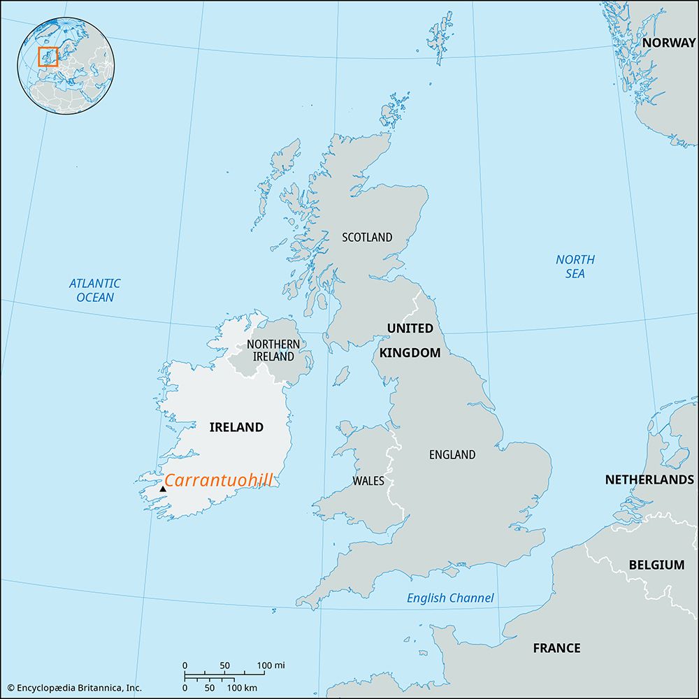
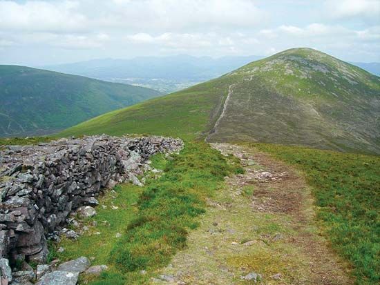
The Knockmealdown Mountains are a mountain range situated on the border of southern County Tipperary and western County Waterford in Ireland.
What is Knockmealdown Mountains?
The Knockmealdown Mountains are a mountain range situated on the border of southern County Tipperary and western County Waterford in Ireland.1
Formed primarily of Devonian sandstones, the range follows an east-west trend characteristic of the folded ridges found in southern Ireland. The mountains feature seven peaks exceeding 2,000 feet (610 metres) in elevation, with the highest point, Knockmealdown, reaching 2,609 feet (795 metres). The landscape is marked by a very steep slope descending to the River Tar on the northern side, and the range is traversed by the Caher-Lismore road via a gap at 1,114 feet (340 metres).12
What are the other major mountain ranges in Ireland?
Beyond the Knockmealdown Mountains, Ireland’s landscape is defined by a series of coastal highlands that ring its central limestone plain. Key mountain ranges include:
- Macgillycuddy’s Reeks: Located on the Iveragh Peninsula in County Kerry, this range contains Carrantuohill, the highest peak in Ireland at 3,414 feet (1,041 metres).34
- Wicklow Mountains: Situated in the east, these granite-based mountains form part of the Leinster Chain and include Lugnaquillia, which reaches 3,039 feet (926 metres).24
- The Twelve Pins (or Twelve Bens): Found in the Connemara region of County Galway, these are sharp-peaked quartzite ranges with many summits exceeding 2,000 feet (610 metres).45
- Comeragh Mountains: Located in the south, these mountains share the geological characteristics of the southern folded ridges.4
- Blue Stack Mountains: These are a principal range located in the north of the country.4
How did glaciers shape the landscape of Ireland?
Ireland’s landscape has been profoundly shaped by at least two major glaciations, which left behind a diverse array of physical features that define the country’s scenery today.2
The influence of glacial activity is evident in several key ways:
- Drumlin Fields: Much of the low-lying landscape, particularly in Northern Ireland, is covered by swarms of drumlins—elongated, oval hills formed by the movement of ice sheets over rock debris. These features often disrupt local drainage, creating marshy hollows and small lakes.67
- Valleys and Drainage: Glaciation carved the country’s primary valleys, such as those of the River Bann, the River Blackwater, and the River Lagan, which have historically served as vital transportation routes.6
- Soil Composition: Most Irish soils are derived from “drift,” the material scoured and transported by advancing glaciers. This ice-borne drift, often rich in limestone, has been crucial for the country’s agricultural economy, as it overlays less fertile bedrock.8
- Scenic Diversity: The characteristic variety of Irish terrain—ranging from its central plains to its rugged coastal highlands—owes much to these glacial processes, which scoured the land and deposited sediment across the region.2
What is the significance of Old Red Sandstone in Irish geology?
The Old Red Sandstone is a significant component of Irish geology, particularly in the southern part of the country, where it defines the region’s distinct physical landscape.12
Geological Significance
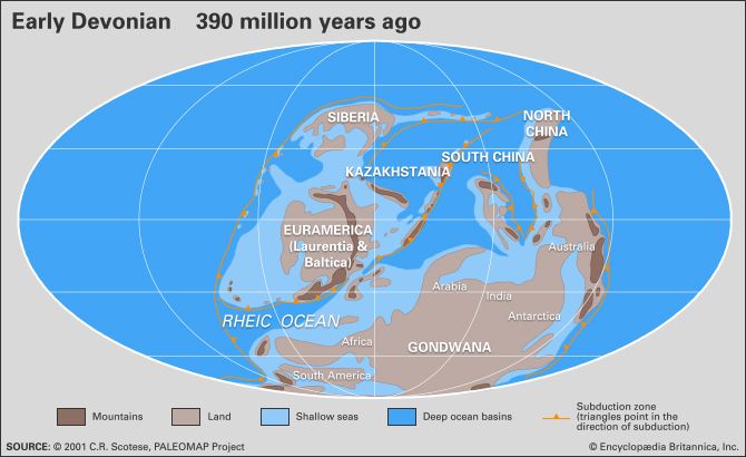
- Formation and Composition: These rocks are a thick sequence of nonmarine, continental deposits dating primarily to the Devonian Period (approximately 419 to 359 million years ago). They were formed from sediments—including sand, mud, and silt—that accumulated in structural basins created during the formation of the Caledonian Mountains.13142
- Landscape Influence: In southern Ireland, the Old Red Sandstone is the predominant rock type. It forms parallel, east-west trending folded mountain ridges that are separated by limestone river valleys. This unique structural pattern is a defining feature of the southern Irish terrain.12
- Paleogeographic Context: The presence of these rocks in southeastern Ireland reflects the country’s position on the ancient paleocontinent of Laurussia, where clastic debris was shed from the growing Caledonian highlands.1415
Sources
- Knockmealdown Mountains — Encyclopædia Britannica
- Ireland - Relief — Encyclopædia Britannica
- Macgillycuddy’s Reeks — Encyclopædia Britannica
- Wicklow Mountains — Encyclopædia Britannica
- Connemara — Encyclopædia Britannica
- Northern Ireland - Drainage — Encyclopædia Britannica
- drumlin — Encyclopædia Britannica
- Europe - Pleistocene glaciation — Encyclopædia Britannica
- Pleistocene Epoch - Glaciation — Encyclopædia Britannica
- lake - Basins formed by glaciation — Encyclopædia Britannica
- Ireland - Soils — Encyclopædia Britannica
- Old Red Sandstone — Encyclopædia Britannica
- Devonian Period — Encyclopædia Britannica
- Old Red Sandstone — Merriam-Webster
- Silurian Period - Clastic wedges — Encyclopædia Britannica
Published on · 3 min read