River Tamar
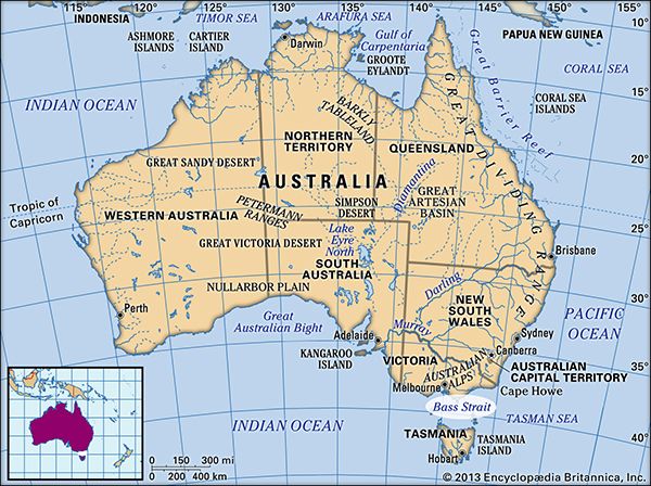
The River Tamar is a tidal estuary located in northern Tasmania, Australia. It is formed by the confluence of the North and South Esk rivers and extends for…
What is the geographical location and length of the River Tamar in Australia?
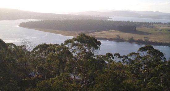
The River Tamar is a tidal estuary located in northern Tasmania, Australia. It is formed by the confluence of the North and South Esk rivers and extends for 40 miles (65 km) in a northwest direction before entering the Bass Strait at Port Dalrymple.1
How was the River Tamar formed, and what are its main tributaries?
The River Tamar is a tidal estuary formed by the confluence of the North Esk and South Esk rivers in northern Tasmania, Australia.1
The river serves as a significant waterway, extending 40 miles (65 km) northwest until it reaches the Bass Strait at Port Dalrymple.1
Are there any historical or cultural significance associated with the River Tamar?
The River Tamar in Tasmania holds significant historical and cultural importance as the site of early European exploration and settlement in the region.
Historical Significance
- Exploration: The mouth of the estuary, Port Dalrymple, was named in 1798 by explorers George Bass and Matthew Flinders.1
- Early Settlement: In 1804, the area became the site of York Town, the first local settlement. Shortly thereafter, Lieutenant Colonel William Paterson established a settlement upstream at the site of present-day Launceston, which developed into a vital whaling port and agricultural hub by the 1830s.12
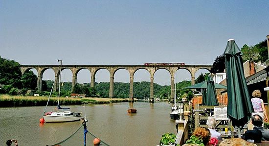
- Naming: The river was named after the River Tamar in England, which flows between Cornwall and Devon. This connection is reflected in the naming of Launceston, which was named after the Cornish birthplace of Philip Gidley King, a former governor of New South Wales.12
Cultural and Economic Context
The river remains a central feature of northern Tasmania, supporting a landscape of orchards, vineyards, and sheep farms. It also hosts significant infrastructure, including Australia’s largest aluminum-production complex at Bell Bay.1
How do the North and South Esk rivers form the Tamar?
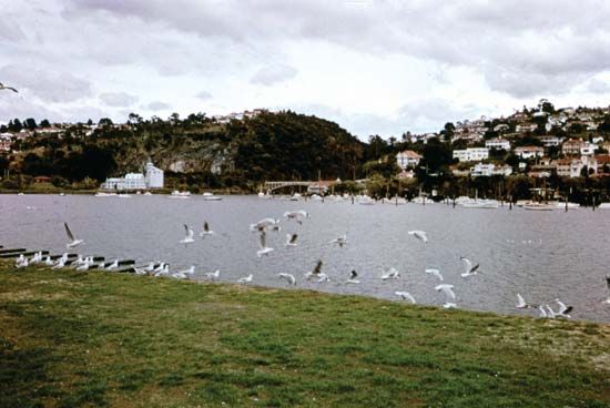
The River Tamar is formed at the city of Launceston, where the North Esk and South Esk rivers converge.13
This meeting point marks the head of the River Tamar, which functions as a navigable tidal estuary flowing 40 miles (65 km) northwest to the Bass Strait. The confluence of these two rivers creates a vital waterway that has historically served as a hub for trade, agriculture, and industry in northern Tasmania.13
Sources
- River Tamar — Encyclopædia Britannica
- River Tamar — Encyclopædia Britannica
- Launceston — Encyclopædia Britannica
Published on · 2 min read