River Tamar
There are two notable rivers named the River Tamar:
What is River Tamar?
There are two notable rivers named the River Tamar:
River Tamar, England
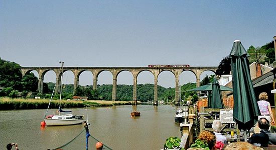
The River Tamar is a 61-mile (98 km) river in southwestern England. It rises near the Bristol Channel and flows south to the English Channel at Plymouth Sound. For most of its course, it serves as the historic boundary between the counties of Devon and Cornwall. Its deepwater estuary, the Hamoaze, hosts the Plymouth Naval Base and Devonport dockyard. The river valley is known for its mild climate, supporting intensive cultivation of fruits, flowers, and vegetables.12
River Tamar, Australia
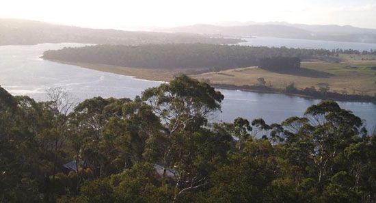
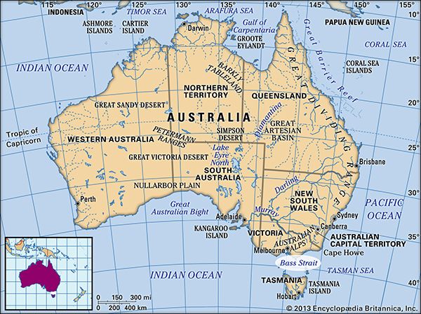
The River Tamar in northern Tasmania is a 40-mile (65 km) tidal estuary formed by the confluence of the North and South Esk rivers. It flows northwest into the Bass Strait. Navigable to the port of Launceston, the river is lined with fertile land supporting vineyards and sheep farms, and it hosts significant industrial sites, including an aluminum-production complex.3
How does the River Tamar act as a boundary between Devon and Cornwall?
The River Tamar serves as the historic boundary between the English counties of Devon and Cornwall for the majority of its 61-mile (98 km) course.1
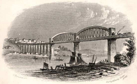
Because the river acts as a natural barrier to east-west travel, it has historically defined the separation between the two regions; for many people in Cornwall, crossing the river is symbolically viewed as entering England. To facilitate movement across this divide, infrastructure such as the Tamar Road Bridge and a railway bridge at Saltash have been constructed, alongside ferry services at Torpoint.41
The river’s deepwater estuary, known as the Hamoaze, further reinforces this geographic separation as it flows toward the English Channel. While the river is a clear boundary, it is also a shared feature of the landscape, with its fertile valley supporting agriculture in both counties.15
What is the significance of the Hamoaze estuary for the British Royal Navy?
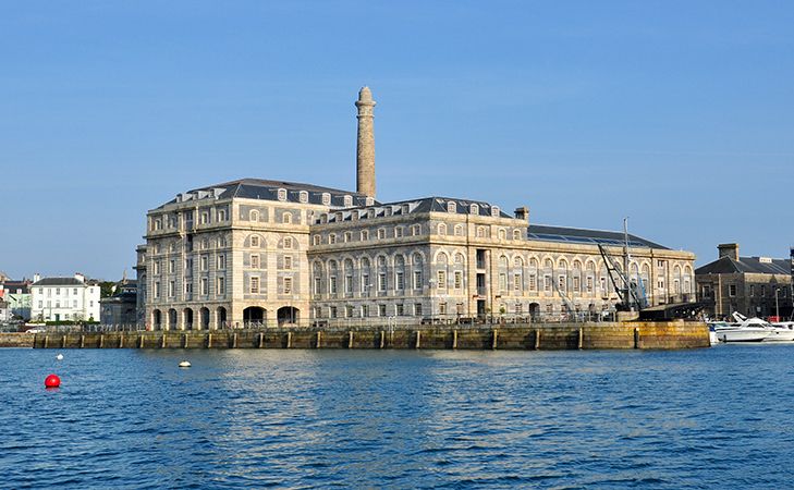
The Hamoaze is a critical geographic feature for the British Royal Navy due to its status as a sheltered, deepwater estuary. This natural environment provides the necessary depth and protection required for large naval vessels to dock and maneuver safely.
Because of these favorable conditions, the Hamoaze serves as the location for two major military installations:
- Plymouth Naval Base: A primary hub for naval operations and fleet support.
- Devonport Dockyard: A vital facility for the maintenance, repair, and modernization of Royal Navy ships and submarines.
By providing a secure and accessible harbor, the Hamoaze has historically enabled the Royal Navy to maintain a significant strategic presence in southwestern England.1
How does the River Tamar in Tasmania differ from the one in England?
The River Tamar in Tasmania and the River Tamar in England are distinct geographic entities, with the Australian river named after its English counterpart.2
The primary differences between them include:
- Location and Length: The River Tamar in Tasmania is a 40-mile (65 km) tidal estuary in northern Australia, whereas the English River Tamar is approximately 60 miles (96 km) long and flows through southwestern England.26
- Course and Destination: The Tasmanian river is formed by the confluence of the North and South Esk rivers and flows northwest into the Bass Strait. In contrast, the English river flows southeast from northwestern Devon to reach the English Channel.26
- Economic Use: The Tasmanian Tamar is a vital transport route for the port of Launceston and supports major industrial sites like Australia’s largest aluminum-production complex at Bell Bay, alongside agricultural terraces. The English river is historically significant as a natural boundary between the counties of Devon and Cornwall.2
Sources
- River Tamar — Encyclopædia Britannica
- River Tamar — Encyclopædia Britannica
- Caradon — Encyclopædia Britannica
- North Cornwall — Encyclopædia Britannica
- Cornwall — Encyclopædia Britannica
- Tamar — Merriam-Webster
Published on · 3 min read