River Waveney
The River Waveney is a 50-mile (80 km) stream in England that serves as the boundary between the counties of Norfolk and Suffolk. Flowing northeast through…
What is River Waveney?
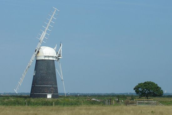
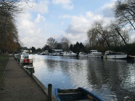
The River Waveney is a 50-mile (80 km) stream in England that serves as the boundary between the counties of Norfolk and Suffolk. Flowing northeast through agricultural landscapes, the river eventually becomes part of The Broads, a notable network of inland waterways](https://www.britannica.com/place/The-Broads), a notable network of inland waterways.1
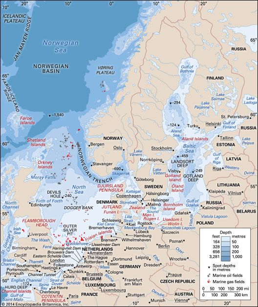
While the river itself does not pass through major towns, its banks are home to smaller communities such as Beccles and Bungay. The river reaches the North Sea via a channel at Lowestoft, though its primary mouth, shared with the River Yare, is located further north at Great Yarmouth. Near the confluence with the River Yare lies the historic Roman-era site of Burgh Castle.21
What are The Broads and how were they formed?
The Broads are a system of shallow inland waterways located in the English counties of Norfolk and Suffolk. This network consists of approximately 40 lakes, which are connected by the Rivers Bure and Yare. While some of these waterways are used for public navigation, many remain protected sanctuaries for wildlife due to their shallow depth or limited accessibility.34
Formation
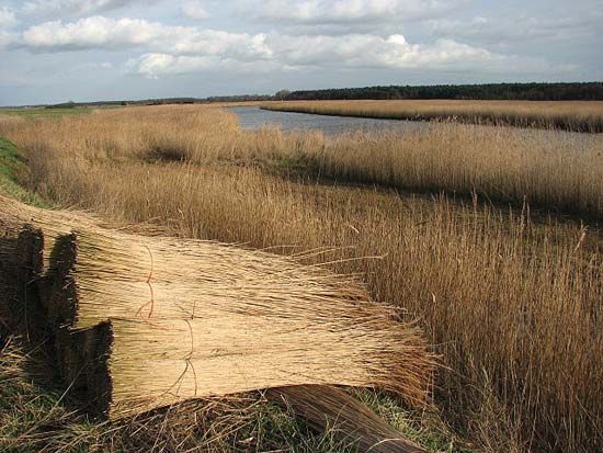
Contrary to the common assumption that these lakes are natural features, The Broads are actually flooded peat diggings. These excavations were carried out during the Middle Ages at a time when the sea level was significantly lower than it is today. Over time, these man-made pits flooded, creating the expansive system of lakes and fringing marshes (fens) seen today. These fens remain ecologically significant, supporting rare species of insects, plants, and birds, while continuing to provide materials like reed and sedge for traditional thatching.3
How does the River Yare connect to the River Waveney?
The River Yare and the River Waveney connect at the head of a tidal estuary known as Breydon Water.
As the rivers flow through the flat alluvial landscape of The Broads, they converge into this shared estuary before reaching the North Sea. The River Yare enters Breydon Water from the west, while the River Waveney enters from the south. Once combined, the water flows toward the mouth of the estuary at Great Yarmouth, where the exit is deflected southward by a coastal spit.51
What is the historical significance of Burgh Castle?
Burgh Castle is historically significant as a key component of the Roman coastal defense system in Britain, known as the “Saxon Shore” forts. Constructed during the late 3rd century, it was part of a strategic network of fortifications established to protect the province from Saxon pirates and other maritime threats.6
Located in Norfolk near the confluence of the River Yare and the River Waveney, the fort served as a vital military installation during a period of significant instability in Roman Britain. Along with other sites such as Brancaster, Richborough, and Pevensey, Burgh Castle helped secure the coastline against increasing raids from the sea, allowing the province to maintain a degree of prosperity and defense until the eventual withdrawal of Roman administrative authority in the early 5th century.67
Sources
- River Waveney — Encyclopædia Britannica
- Waveney — Encyclopædia Britannica
- the Broads — Encyclopædia Britannica
- Broads — Merriam-Webster
- River Yare — Encyclopædia Britannica
- Roman Britain - The end of Roman Britain — Encyclopædia Britannica
- Bamburgh Castle — Encyclopædia Britannica
Published on · 2 min read