River Yare
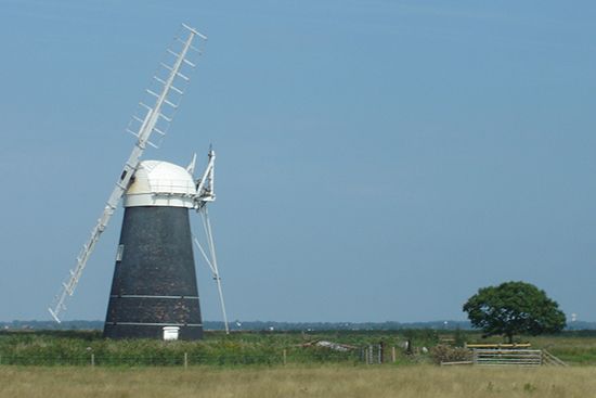
The River Yare is a stream located in the county of Norfolk, England. It flows sluggishly across the landscape toward Norwich, where it is joined by the…
What is River Yare?
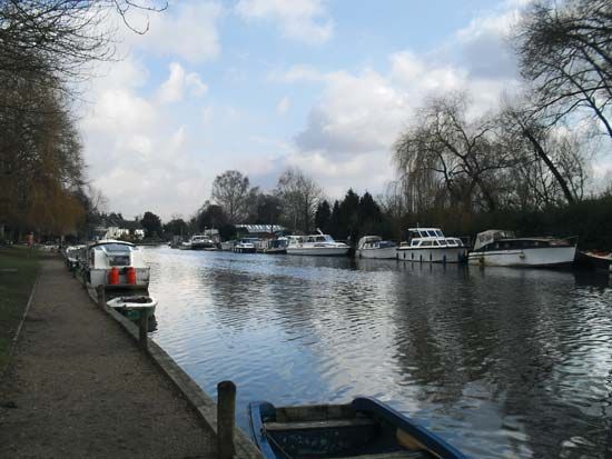
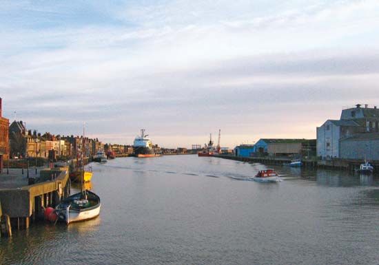
The River Yare is a stream located in the county of Norfolk, England. It flows sluggishly across the landscape toward Norwich, where it is joined by the River Wensum. In its lower course, the river traverses the flat alluvial region known as The Broads before reaching its estuary, Breydon Water.1
At this estuary, the Yare is joined by the Rivers Bure and Waveney. The mouth of the estuary is deflected southward by a spit, eventually entering the North Sea near the resort town of Great Yarmouth. Near the confluence of the Yare and the River Waveney at the head of Breydon Water, one can find the historic Roman-era site of Burgh Castle.12
What are the Norfolk Broads?
The Broads are a system of inland waterways located in the counties of Norfolk and Suffolk, England. These shallow lakes were formed by the flooding of medieval peat diggings, a process influenced by a rise in sea level over time.456
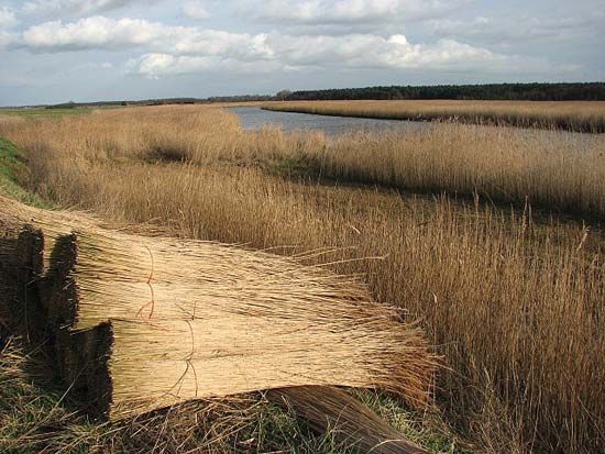
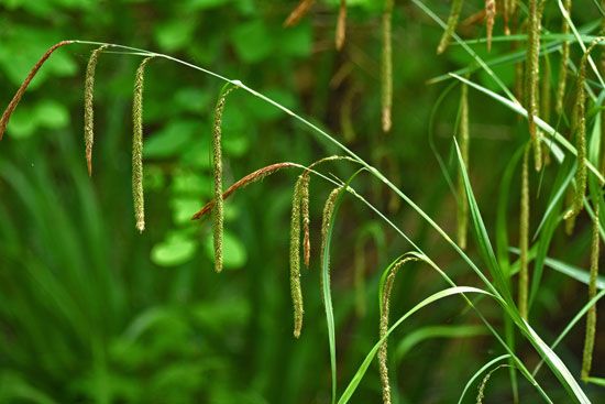
The system consists of approximately 40 waterways, which are connected by the Rivers Bure, Yare, and Wensum. While some of these areas remain inaccessible or too shallow, serving as vital sanctuaries for wildlife, 16 of the waterways are open for public navigation. The surrounding fens and marshes support a diverse range of rare insects, plants, and birds, and they continue to provide resources like reed and sedge for traditional thatching.46
Today, the Broads are a popular destination for recreation, including fishing, bird-watching, and sailing. The region also lends its name to the administrative district of Broadland, which lies north and east of Norwich.47
How do rivers form estuaries like Breydon Water?
Estuaries like Breydon Water form through complex geological and hydrological processes where river water meets and mixes with seawater.18
Most modern estuaries were created by a worldwide rise in sea level following the last major glaciation. As ice sheets melted approximately 18,000 years ago, rising marine waters inundated coastal plains and river valleys that had been carved out during periods of lower sea levels.19
Estuaries generally develop through three primary mechanisms:
- Drowned Valleys: Rising seas flood existing river valleys or deep gorges previously carved by glaciers (such as fjords).19
- Depositional Features: Spits or barrier islands form along the coast, enclosing areas of water and restricting the exchange between the open ocean and the river mouth.9108
- Tectonic Activity: Coastal subsidence or down-faulting can lower land areas, allowing the sea to submerge coastal zones.19
Once formed, the character of an estuary—including its salinity and sediment distribution—is determined by the equilibrium between river discharge and tidal currents.911
What is the historical significance of Great Yarmouth?
Great Yarmouth holds significant historical importance as a strategic coastal settlement and a major maritime hub. Originally a sandbank, the area was significant during the Roman era, evidenced by nearby forts at Caister-on-Sea and Burgh Castle, which once guarded the coastline. By the Saxon period, the site was inhabited, and its formal development was cemented in 1208 when King John granted the town its charter.14
The town’s growth was driven by its role as a premier herring port, famous for the “Yarmouth bloater.” This fishing heritage was central to its economy for centuries, supported by the town’s unique geography at the mouth of Breydon Water. By the end of the 13th century, the town was walled, and in 1567, a Dutch engineer engineered the current harbour entry to improve navigation. Today, while it remains a popular holiday resort and gateway to the Broads, its industrial focus has shifted toward North Sea gas and oil exploration.1415
Sources
- River Yare — Encyclopædia Britannica
- River Waveney — Encyclopædia Britannica
- River Wye — Encyclopædia Britannica
- the Broads — Encyclopædia Britannica
- Broadland — Encyclopædia Britannica
- River Wensum — Encyclopædia Britannica
- Norfolk — Encyclopædia Britannica
- estuary - Geology and geomorphology — Encyclopædia Britannica
- river - Origin and classification — Encyclopædia Britannica
- spit — Encyclopædia Britannica
- estuary — Encyclopædia Britannica
- river - Sedimentation in estuaries — Encyclopædia Britannica
- river - Estuaries — Encyclopædia Britannica
- Great Yarmouth — Encyclopædia Britannica
- England - Fishing — Encyclopædia Britannica
Published on · 3 min read