Saint Marys River
There are two distinct rivers in North America named the Saint Marys River:
Where is the Saint Marys River located in North America?
There are two distinct rivers in North America named the Saint Marys River:
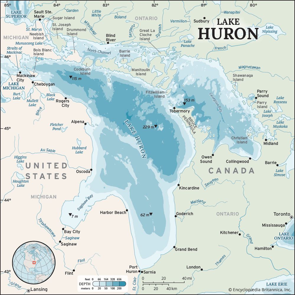
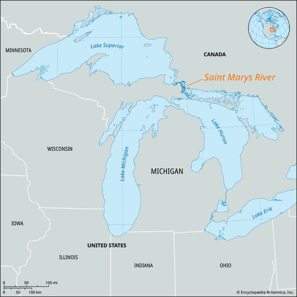
- The Great Lakes Saint Marys River: This river serves as the outlet for Lake Superior, forming the international boundary between the Upper Peninsula of Michigan, U.S., and Ontario, Canada. It flows for approximately 70 miles into Lake Huron and is a vital component of the St. Lawrence Seaway.12
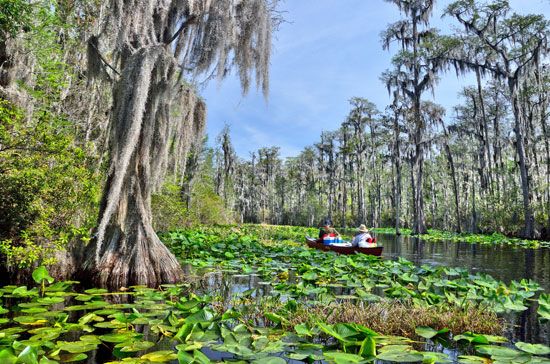
- The Florida–Georgia Saint Marys River: This river is 175 miles long and flows along the border between the U.S. states of Florida and Georgia, originating in the Okefenokee Swamp and emptying into the Atlantic Ocean.2
What recreational activities are popular on and around the Saint Marys River?
Recreational activities on and around the Saint Marys River are primarily centered on the maritime history and natural landscape of the Sault Sainte Marie region. Popular activities include:
- Sightseeing Tours: Visitors can experience the area through guided tours by train and riverboat, which provide unique perspectives of the river and the Soo Canals3.
- Maritime Exploration: The SS Valley Camp, a decommissioned Great Lakes freighter, serves as a maritime history museum and aquarium, offering an immersive look at the region’s shipping heritage.1
- Cultural and Historical Sites: Tourists often visit the memorial museum dedicated to Henry Rowe Schoolcraft, whose historical writings influenced American literature.1
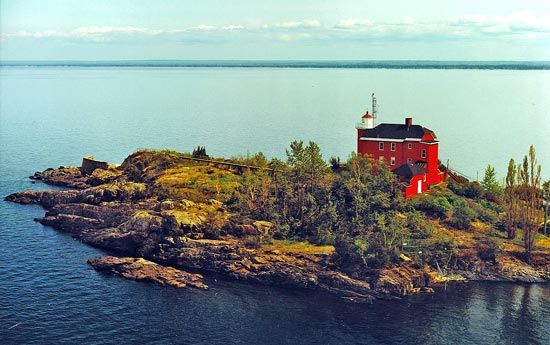
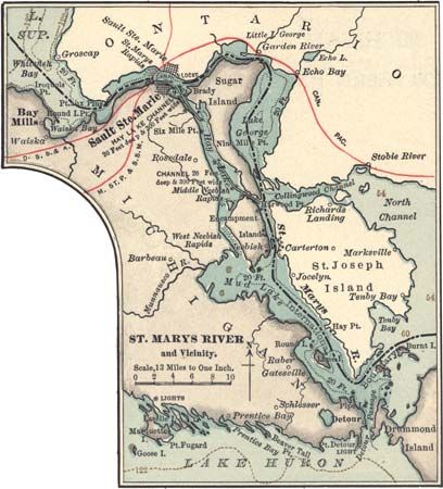
- Nature and Geography: The river’s unique geography, which includes various islands and channels like Nicolet, George, and Munuscong, provides a scenic environment for those interested in the natural landscape of the Great Lakes system.3
While the river is a major industrial link for the St. Lawrence Seaway, its role as a historic rendezvous site continues to draw visitors interested in its deep connection to Indigenous history and early exploration.31
How does the Saint Marys River contribute to the Great Lakes system?
The Saint Marys River is a vital component of the Great Lakes system, serving as the essential outlet for Lake Superior as it flows into Lake Huron.14
Its contributions to the system include:
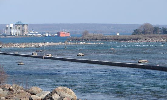
- Navigational Link: As a critical segment of the St. Lawrence Seaway, the river facilitates heavy shipping between the upper Great Lakes. Because the river drops more than 20 feet at the Sault Ste. Marie Rapids, the Soo Canals were constructed to bypass this navigational hazard.1
- Infrastructure Maintenance: To ensure the viability of the seaway, the U.S. Army Corps of Engineers has performed significant dredging and deepening of the river channel to accommodate large vessels.4
- Geographic Structure: The river is the narrowest part of the Great Lakes system. Its course is defined by large islands that divide the water into a series of distinct lakes, including Nicolet, George, and Munuscong, and channels such as St. Joseph.1
What are the main characteristics and features of the Saint Marys River?
The Saint Marys River is a 70-mile (110 km) waterway that serves as the primary outlet for Lake Superior, flowing into Lake Huron and forming a portion of the international boundary between Michigan, U.S., and Ontario, Canada.12
Key Features and Characteristics
- Navigational Challenges: The river drops more than 20 feet (6 meters) over a one-mile stretch at the Sault Ste. Marie Rapids. Because this section is impassable for large vessels, the Soo Canals—featuring five locks—were constructed to facilitate shipping.1
- Geography: As the narrowest segment of the Great Lakes system, the river is characterized by large islands that divide its course into distinct lakes, including Nicolet, George, and Munuscong, as well as the St. Joseph channel.1
- Historical Significance: The river has long served as a natural rendezvous site. It was historically vital to Indigenous peoples, such as the Ojibwa, who relied on the spring whitefish run for sustenance, and later became a key route for early French explorers and missionaries.1
Sources
- Saint Marys River — Encyclopædia Britannica
- Saint Marys — Merriam-Webster
- Sault Sainte Marie — Encyclopædia Britannica
- St. Lawrence Seaway - Construction of the seaway — Encyclopædia Britannica
Published on · 3 min read