Seine River
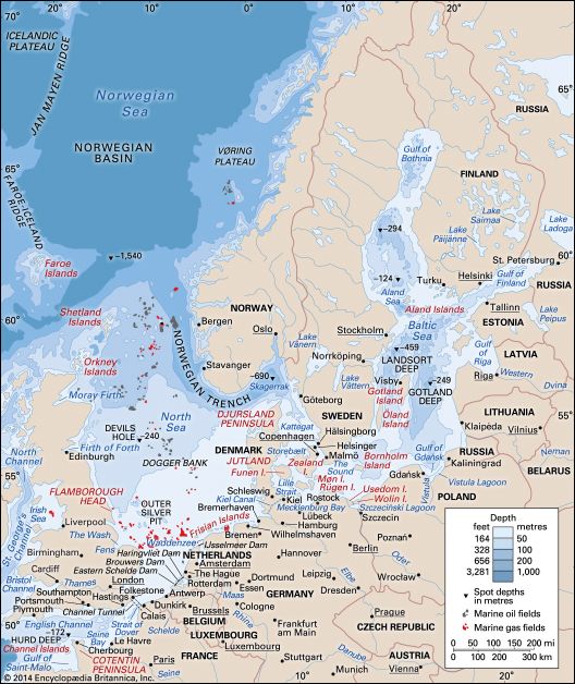
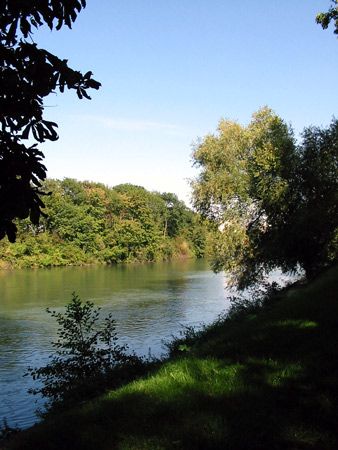
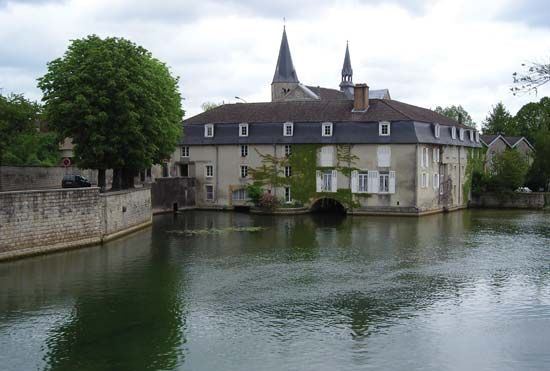
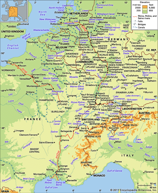
The Seine River is a major river in France that spans a length of 485 miles (780 km).
What is the geographical location and length of the Seine River?
The Seine River is a major river in France that spans a length of 485 miles (780 km).12
It originates at an elevation of 1,545 feet (471 meters) on Mont Tasselot in the Côte-d’Or region of Burgundy, located 18 miles (30 km) northwest of Dijon. From its source, the river flows in a northwesterly direction, traversing the central Paris Basin and passing through the city of Paris. It continues through Normandy before finally emptying into the English Channel at the port of Le Havre.21
How has the Seine River influenced the development of Paris throughout history?
The Seine River has been central to the development of Paris since antiquity, serving as a vital artery for trade, defense, and urban expansion.
Early Settlement and Trade
Human habitation in the region dates back to 7600 BCE, but the city’s identity was forged by the Parisii tribe, who settled on the Île de la Cité by the 3rd century BCE. The river provided a strategic location for the Roman town of Lutetia, which eventually expanded to the Left Bank. By the 11th century, the river’s economic importance was formalized through the creation of the marchandise de l’eau (river-merchants’ guild). In 1141, the crown sold the city’s principal port to this guild, which held a monopoly on river trade—a privilege later confirmed by Louis VII in 1171. The guild’s ship-blazoned arms eventually became the official emblem of Paris.23
Industrial and Modern Growth
The Seine facilitated Paris’s rise as an industrial hub in the 19th century by connecting the capital to the maritime ports of Rouen and Le Havre. This waterway allowed for the transport of heavy goods, supporting the development of factories along the river’s loops, particularly in the northwest suburbs. Today, the river remains a significant commercial highway for barges carrying petroleum and building materials.24
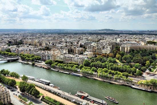
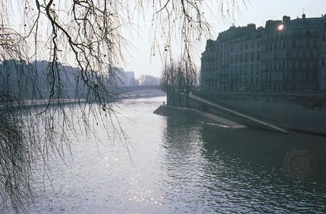
Beyond commerce, the river defines the city’s landscape. The division of the city into the “Right Bank” and “Left Bank” is based on the river’s flow, and its tree-lined quays provide essential green space. The river also serves as a critical resource, supplying water for both industrial use and human consumption in the metropolitan region.25
How has the Seine River been used for flood control and water management in Paris?
The Seine River is naturally one of the most regular rivers in France, largely due to the permeable rocks of its basin that absorb precipitation. However, to manage its flow and mitigate the risk of flooding, several significant engineering measures have been implemented over the centuries.2
Navigation and Urban Training
Within the city of Paris, the river has been trained and narrowed between riverside quays. While these modifications were primarily designed to improve navigation and facilitate trade, they also serve to contain the river within a defined channel through the metropolis.2
Reservoir Systems
Since the mid-19th century, authorities have utilized storage reservoirs to regulate water levels. Early projects included the Lake Settons (1858), Crescent (1932), and Chaumeçon (1934) reservoirs, which were instrumental in both ensuring a constant water supply during dry summers and reducing flood peaks.2
Since 1950, four large storage reservoirs have been constructed upstream on the Seine, Marne, Aube, and Yonne rivers. These shallow impoundments, such as the Marne Reservoir—the largest artificial lake in western Europe—are designed to hold excess water during high-flow periods, significantly enhancing flood control for the Paris region.21
How did the Seine River get its name and what is its significance in French culture?
The provided search results do not contain information regarding the etymological origin of the name “Seine” as it pertains to the river. While the term “seine” is defined as a type of fishing net, that definition is distinct from the proper noun referring to the river in France.7
Regarding its cultural significance, the Seine River is considered one of Europe’s great historic rivers and has been inextricably linked to Paris since the early Middle Ages. The fertile center of its basin, the Île-de-France, served as the cradle of the French monarchy and the nucleus of the expanding nation-state, remaining the country’s heartland today. The river’s drainage network carries the majority of France’s inland waterway traffic, and its banks have long been central to the city’s identity, with the Île de la Cité forming the historic core of the capital.21
Sources
- France - The Seine system — Encyclopædia Britannica
- Seine River — Encyclopædia Britannica
- Paris - City site — Encyclopædia Britannica
- Paris - Foundation and early growth ( c. 7600 bce to 12th century ce ) — Encyclopædia Britannica
- Paris - Transportation of Paris — Encyclopædia Britannica
- Paris - Manufacturing — Encyclopædia Britannica
- Seine — Merriam-Webster
- seine — Merriam-Webster
Published on · 3 min read