Shilka River
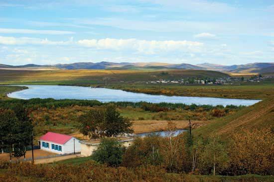
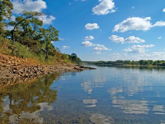
The Shilka River is a 348-mile (560 km) waterway located in the Chita oblast of southeastern Russia. It is formed by the confluence of the Onon and Ingoda…
What is Shilka River?
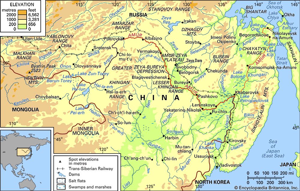
The Shilka River is a 348-mile (560 km) waterway located in the Chita oblast of southeastern Russia. It is formed by the confluence of the Onon and Ingoda rivers and flows northeast until it unites with the Argun River to form the Amur River on the Russia–China border.12
The river features a drainage basin covering approximately 80,000 square miles (206,000 square km) and is navigable along its entire length. Its headwaters originate further southwest in the Yablonovy Range near the Siberian-Mongolian border.12
What is the significance of the Amur River in the Russia-China border region?
The Amur River serves as a critical geopolitical and economic boundary between China and Russia. Flowing generally east and southeast, it defines much of the border between China’s Heilongjiang province and southeastern Siberia.4
Historically, the region was a site of significant territorial contention. While the 1689 Treaty of Nerchinsk initially confirmed Chinese sovereignty over the basin, Russia later acquired lands north of the Amur and east of the Ussuri River through treaties in 1858 and 1860. These acquisitions were long resented by China as “unequal treaties,” eventually contributing to heightened tensions and an armed conflict along the Ussuri in 1969.56
In recent decades, the river’s significance has shifted toward cooperation. Following the resolution of border disputes in 2004, the two nations have collaborated on navigation, agricultural reclamation, and the development of the basin’s hydroelectric potential. The river remains a vital waterway for fishing and regional transport.76
How do the Onon and Ingoda rivers contribute to the formation of the Shilka?
The Shilka River is created through the confluence of two primary waterways: the Onon River and the Ingoda River. These two rivers unite in the Chita oblast of southeastern Russia to form the headwaters of the Shilka.1
Once joined, the Shilka flows northeast for 348 miles (560 km) before meeting the Argun River to form the Amur River. This confluence is a vital geographic feature, as it marks the beginning of the river system that eventually defines a significant portion of the border between Russia and China.1
What are some of the major geographical features of the Yablonovy Range?
The Yablonovy Range is a significant mountain system located in the Transbaikalia region of far eastern Russia, spanning across the Chita oblast and Buryatiya. Its primary geographical features include:
- Dimensions and Elevation: The range extends approximately 500 miles (800 km) in a northeast–southwest direction, reaching a maximum elevation of 5,512 feet (1,680 m) at Mount Kusotuy.8
- Geological Composition: The mountains are formed primarily of granites and gneisses and have been significantly uplifted and fractured over time.8
- Vegetation: While the highest peaks are bare, the majority of the range is covered by dense forests consisting of larch, spruce, and pine.8
- Hydrological Significance: The range serves as a vital watershed, acting as the source for the Onon and Ingoda rivers, which eventually contribute to the formation of the Shilka River and the broader Amur River system.9
- Infrastructure: The range is traversed by the Trans-Siberian Railroad, which crosses the mountains via a low pass known as Yablonovaya.8
Sources
- Shilka River — Encyclopædia Britannica
- Amur River - Physiography — Encyclopædia Britannica
- Shilka — Merriam-Webster
- Amur River — Encyclopædia Britannica
- Amur River - History — Encyclopædia Britannica
- Amur River - Economy — Encyclopædia Britannica
- Ussuri River — Encyclopædia Britannica
- Yablonovy Range — Encyclopædia Britannica
- Yablonovy Mountains — Merriam-Webster
Published on · 2 min read