Volkhov River
The Volkhov River is a 139-mile (224-km) waterway located in northwestern Russia. Serving as the primary outlet for Lake Ilmen, it flows north-northeast…
What is Volkhov River?
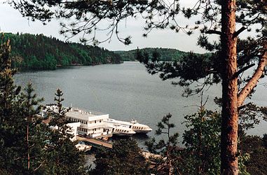
The Volkhov River is a 139-mile (224-km) waterway located in northwestern Russia. Serving as the primary outlet for Lake Ilmen, it flows north-northeast through a swampy basin before emptying into Lake Ladoga.1
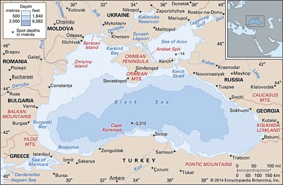
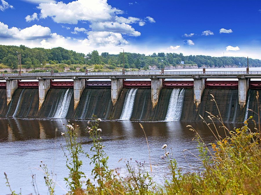
Historically, the river was a vital component of the trade route connecting the Baltic Sea and the Black Sea. Today, it remains navigable for small craft and is notable for hosting the first hydroelectric station built in the Soviet Union, which was established at the town of Volkhov in 1926. The river typically remains frozen from mid-November until mid-April.1
How did the Baltic-Black Sea trade route impact early Russian history?
The Baltic-Black Sea trade route was the economic lifeblood of the early Kievan principality, fundamentally shaping its political and cultural development between the 10th and 11th centuries.2
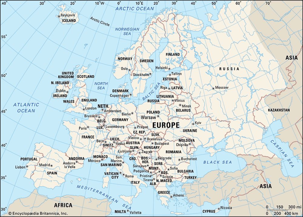
This route emerged as Varangians from Novgorod consolidated control over the region. By organizing commerce along major river systems—including the Volkhov River—these Scandinavian adventurers, led by princes of the Rurik dynasty, established a network that connected the Baltic region to Constantinople and the Black Sea.21
The trade facilitated the exchange of northern goods such as amber, furs, honey, wax, and timber for Middle Eastern wealth, evidenced by significant coin hoards found in the region. This commercial activity provided the structure for the Kievan state, as the princes organized trade, tribute, and military expeditions to secure these vital routes. While the extent of Varangian influence remains a subject of historical debate, it is clear that this trade-driven expansion was the primary force in the formation of the early Russian state.2
What are the unique characteristics of Lake Ladoga?
Lake Ladoga is the largest lake in Europe, covering an area of 6,700 square miles (17,600 square km). Located in northwestern Russia, it possesses several distinct geographical and historical characteristics:
Physical Geography
- Formation and Topography: The lake’s depression was created by glacial action. Its northern shores are characterized by high, craggy cliffs and deep, fjordlike inlets, while the southern shores are generally low with sandy or rocky beaches.
- Depth and Islands: The lake has an average depth of 167 feet (51 meters), with a maximum depth of 754 feet (230 meters) west of Valaam Island. It contains approximately 660 islands, including Valaam, Kilpola, and Mantsinsari.
- Hydrology: It is fed by major tributaries such as the Volkhov River, the Svir, and the Vuoksa. The water is fresh, yellow-brown in color, and experiences phenomena known as seiches, which are temporary, drastic changes in water level.
Historical and Commercial Significance
- Strategic Lifeline: During the World War II siege of Leningrad, the lake served as a vital supply route for the city.
- Navigation: It is a key component of the White Sea–Baltic Waterway system, facilitating international freight transport.
Why was the construction of the Volkhov hydroelectric station significant in 1926?
The construction of the Volkhov River hydroelectric station in 1926 was a landmark event because it served as the first hydroelectric power plant built in the Soviet Union. This project represented a significant milestone in the early industrialization efforts of the Soviet state, demonstrating the government’s commitment to large-scale infrastructure development and the modernization of its energy grid.
Sources
- Volkhov River — Encyclopædia Britannica
- Russia - Prehistory and the rise of the Rus — Encyclopædia Britannica
- Lake Ladoga — Encyclopædia Britannica
- Ladoga, Lake — Merriam-Webster
Published on · 2 min read