Shyok River
The Shyok River serves as a vital water source for the semiarid region through which it flows. Rising in the Karakoram Range, the river is primarily fed by…
How does the Shyok River contribute to the water resources of the region?
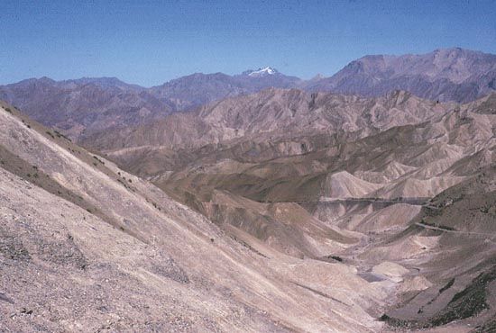
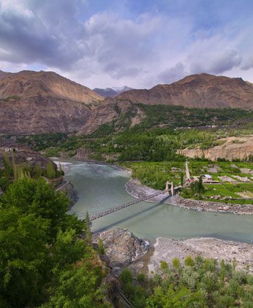
The Shyok River serves as a vital water source for the semiarid region through which it flows. Rising in the Karakoram Range, the river is primarily fed by glacial meltwater, which reaches its maximum flow between June and September. This seasonal influx of water is essential for sustaining irrigation in the valley, supporting the cultivation of crops such as wheat, barley, and potatoes, as well as various fruit trees.1
As a significant right-bank tributary of the Indus River, the Shyok contributes to the broader hydrological network of the region, carrying glacial meltwater into the Indus near Khapalu. While the river is a critical resource, its flow can be volatile; the Chong Kumdan Glacier occasionally dams the river, which can lead to serious flooding in nearby areas.12
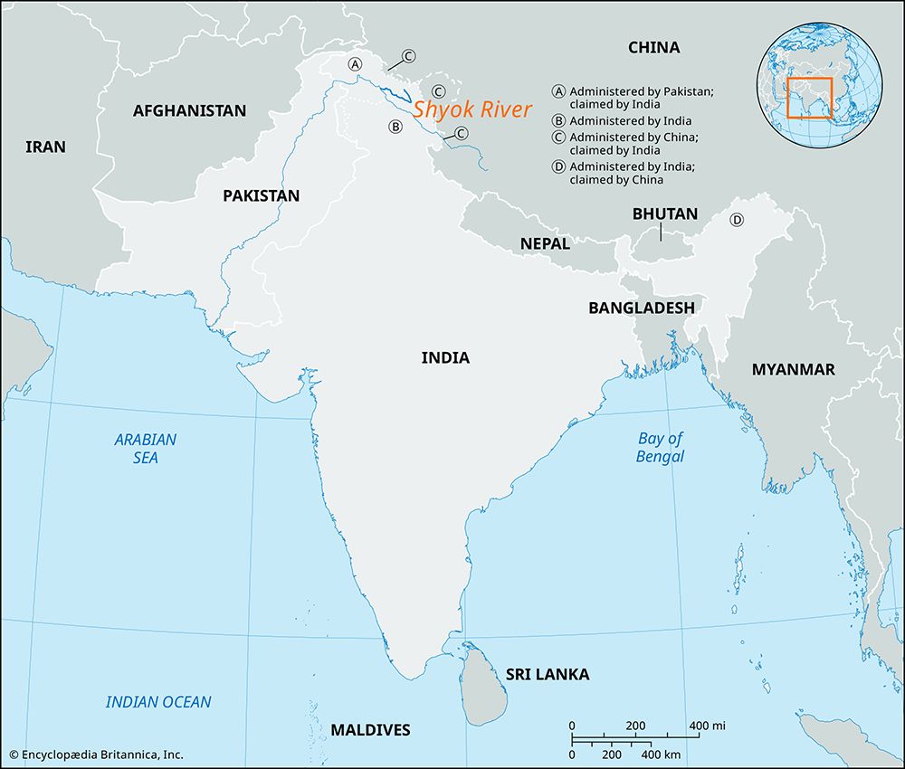
What role does the Shyok River play in the disputed region of Jammu and Kashmir?
The Shyok River plays a significant role in the geography of the Kashmir region, which has been contested by India and Pakistan since 1947.31
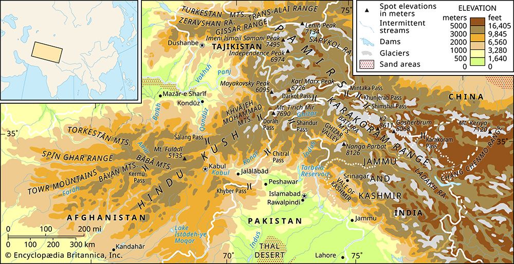
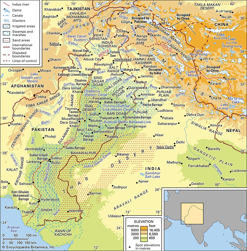
Rising in the Karakoram Range within Indian-administered territory, the river acts as a natural feature that traverses the complex administrative boundaries of the region. It flows northwestward from Indian-administered areas into Pakistani-administered Gilgit-Baltistan, where it eventually joins the Indus River near Khapalu. Additionally, the mouth of the Shyok River serves as a geographic marker for the Ladakh Range, a mountain chain that extends through both Indian-administered Ladakh and Pakistani-administered territory.15
While the river is a vital source of irrigation for local agriculture—supporting crops like wheat, barley, and potatoes in its semiarid valley—its path through these disputed territories highlights the interconnected nature of the region’s hydrology and political landscape.1
What is the significance of the Shyok River in the Indus River system?
The Shyok River is a significant right-bank tributary of the Indus River, playing a crucial role in the hydrological system of the northern Indian subcontinent. Rising in the Karakoram Range, it serves as a major conduit for glacial meltwater, which it carries into the Indus near Khapalu in the Pakistani-administered region of Gilgit-Baltistan.12
The river’s significance within the Indus system is defined by several key factors:
- Hydrological Contribution: Along with other streams like the Shigar and Gilgit, the Shyok is essential for transporting glacial meltwater into the Indus, particularly during the peak flow months of June through September.12
- Regional Irrigation: Despite the semiarid climate of its valley, the river provides the necessary water to sustain local agriculture, including the cultivation of wheat, barley, potatoes, and fruit trees.1
- Geographic Influence: It acts as a major drainage feature in the high-altitude terrain of the Karakoram, influencing the landscape through which the upper Indus flows.12
Where is the Shyok River located, and what countries does it flow through?
The Shyok River is located in the northern part of the Indian subcontinent within the Kashmir region. It rises in the Karakoram Range in the territory of Indian-administered Jammu and Kashmir.1
The river flows generally northwestward, eventually crossing into Pakistani-administered Gilgit-Baltistan, where it joins the Indus River near the town of Khapalu. Spanning a total length of 340 miles (550 km), the river serves as a vital water source for the semiarid valleys through which it passes.1
Sources
- Shyok River — Encyclopædia Britannica
- Indus River - Physical features — Encyclopædia Britannica
- Ladakh — Encyclopædia Britannica
- Ladakh - Land — Encyclopædia Britannica
- Ladakh Range — Encyclopædia Britannica
Published on · 2 min read