Karakoram Range
The Karakoram Range is a geologically young mountain system that emerged primarily due to intensive upheavals during the Cenozoic Era, spanning the last 65…
What is the geological history of the Karakoram Range?
The Karakoram Range is a geologically young mountain system that emerged primarily due to intensive upheavals during the Cenozoic Era, spanning the last 65 million years. Its formation is fundamentally linked to the ongoing collision between the Indian subcontinent and the Eurasian plate, a tectonic event that has driven the uplift of major mountain ranges across Central Asia.12
Structurally, the range is dominated by a central core of granites, gneisses, crystallized schists, and phyllites. This core is flanked to the north and south by regions of sedimentary rock, specifically limestones and micaceous slates dating back to the Paleozoic and Mesozoic eras (approximately 245 to 540 million years ago).1
The region remains tectonically active, characterized by frequent, often violent seismic events that frequently trigger massive rock and ice avalanches. This ongoing geological evolution is also evidenced by the presence of hot springs in various areas.1
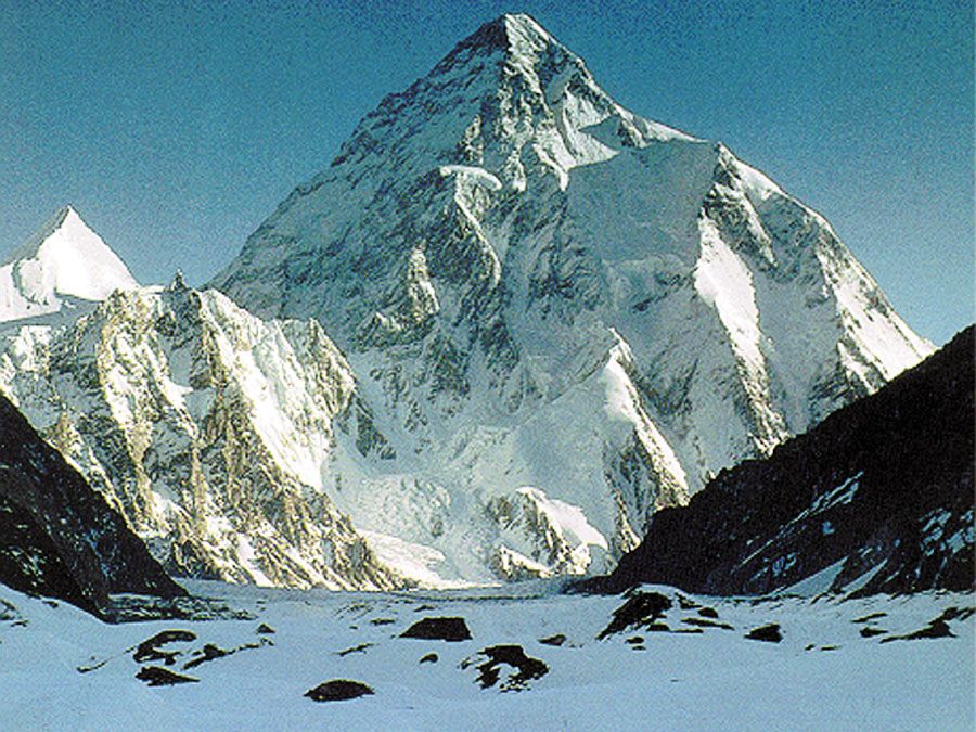
What are the major glaciers found in the Karakoram Range, and why are they significant?
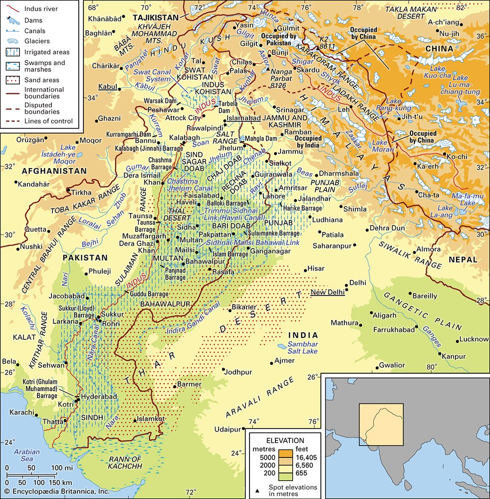
The Karakoram Range is characterized by extensive glaciation due to its extreme elevation. Major glaciers in the central, highest regions include the Hispar, Chogo Lungma, Braldu, Biafo, Baltoro (noted for its Concordia junction), and the Siachen Glacier.5
These glaciers are significant for several reasons:
- Hydrological Importance: The region is often called the “Third Pole” because its glaciers contain more fresh water than anywhere on Earth outside the polar ice caps. They serve as a critical watershed, feeding major rivers like the Indus and Shyok. Glacial meltwater, often opaque with rock flour, provides essential water flow throughout the year.75
- Global Climate Indicators: Unlike many glaciers worldwide, those in the Karakoram are among the few that have grown in size since the late 20th century.8
- Geopolitical and Human Impact: The Siachen Glacier, the second longest nonpolar glacier in the world at 75 km, has been the site of a long-standing military standoff between India and Pakistan. This presence has led to environmental concerns, including pollution from nonbiodegradable waste and threats to indigenous wildlife like the snow leopard.7
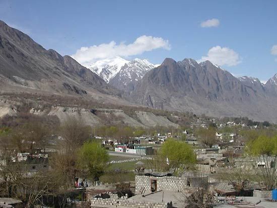
How is climate change affecting the Karakoram Range and its glaciers?
The Karakoram Range is experiencing significant impacts from climate change, manifesting through unpredictable weather patterns, such as unusual temperature variations and unseasonal rainfall. These shifts have led to notable glacial decline in parts of the broader Indus River basin, which relies heavily on glacial meltwater for its flow.5
However, the Karakoram glaciers exhibit a unique response compared to many other regions globally. While climate change has caused widespread melting elsewhere, the glaciers of the Karakoram are among the few in the world that have grown in size since the late 20th century.9
Despite this localized growth, the region remains vulnerable. The reliance on seasonal and perpetual snow and glacial meltwater to feed river systems makes the area highly sensitive to climate-driven hydrological changes. These environmental shifts, combined with the region’s inherent geological instability, pose ongoing challenges for the local populations who depend on these water sources for agriculture and survival.1095
What is the geographical location and extent of the Karakoram Range?
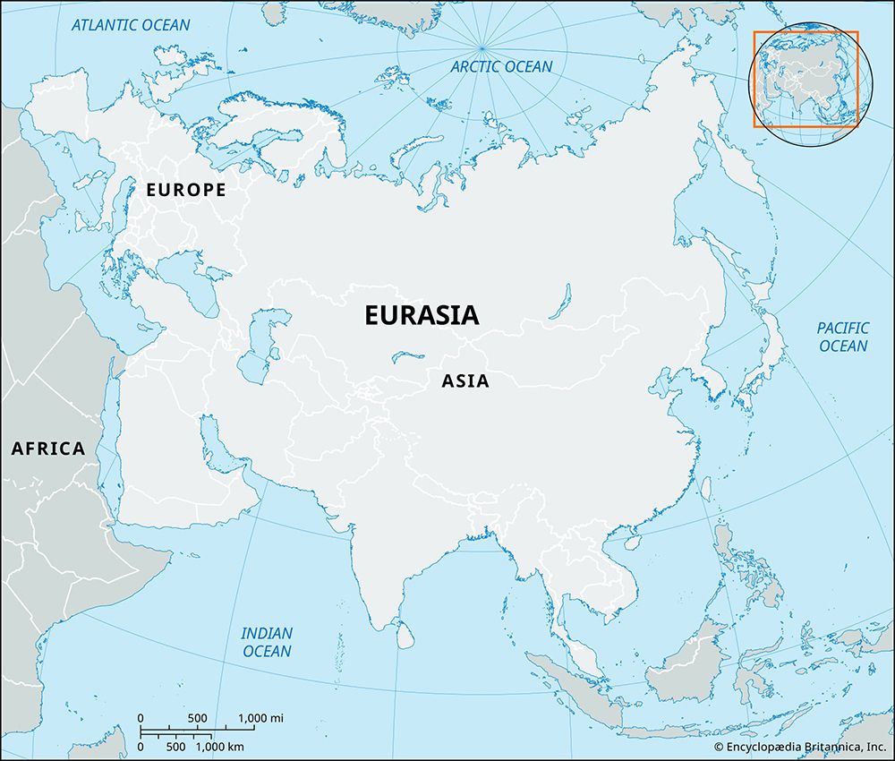
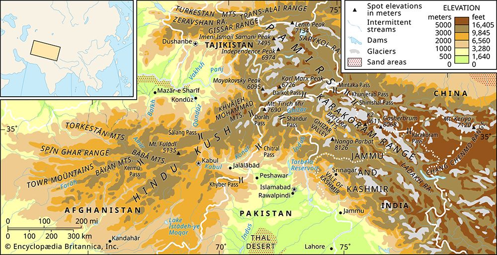
The Karakoram Range is a massive mountain system located in south-central Asia, serving as a watershed between Central and South Asia. It forms a critical part of a complex of ranges that includes the Hindu Kush to the west, the Pamirs to the northwest, the Kunlun Mountains to the northeast, and the Himalayas to the southeast.112
The system spans approximately 80,000 square miles (207,000 square km) and features a width of about 150 miles (240 km). While the central portion is a monolithic range, the total length of the system is roughly 300 miles (500 km), extending to 500 miles (800 km) if the eastern extensions—the Pangong range and the Chang Chenmo—are included. Geopolitically, the region is highly significant, as the borders of Tajikistan, China, Pakistan, Afghanistan, and India all converge within the system.41
Sources
- Karakoram Range — Encyclopædia Britannica
- Karakoram Range - Geology — Encyclopædia Britannica
- Ladakh - The Karakoram Range — Encyclopædia Britannica
- Karakoram Range - Physiography — Encyclopædia Britannica
- Karakoram Range - Glaciation and drainage — Encyclopædia Britannica
- mountain - The Himalayan chain — Encyclopædia Britannica
- Siachen Glacier — Encyclopædia Britannica
- Pakistan - The Himalayan and Karakoram ranges — Encyclopædia Britannica
- Indus River - Climate — Encyclopædia Britannica
- Indus River - Hydrology of the Indus River — Encyclopædia Britannica
- Karakoram Range - Study and exploration — Encyclopædia Britannica
- Karakoram Range — Merriam-Webster
Published on · 3 min read