Sierra Leone River
The Sierra Leone River is an estuary located on the Atlantic coast in western Sierra Leone. It is formed by the confluence of the Port Loko Creek and the…
What is Sierra Leone River?
The Sierra Leone River is an estuary located on the Atlantic coast in western Sierra Leone. It is formed by the confluence of the Port Loko Creek and the Rokel River. The estuary spans 4 to 10 miles (6 to 16 km) in width and extends 25 miles (40 km) in length.1
The river is of significant economic importance, housing the country’s two major ports: the port at Pepel and the Freetown harbour Freetown harbour. The narrowing of the estuary near Freetown generates a strong tidal scour, which helps maintain a deepwater channel by preventing the buildup of silt. Additionally, the river serves as a transport route for local boats carrying produce to the Freetown market. Across the river from Freetown lies the international airport at Lungi.12
How did Freetown get its name and historical significance?
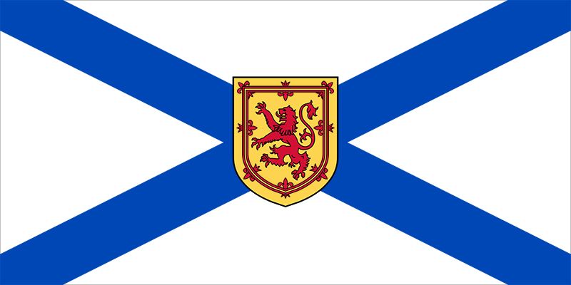
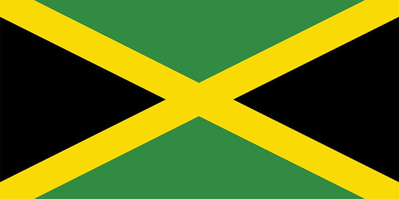
Freetown, the capital of Sierra Leone, derives its name from its foundational purpose as a haven for formerly enslaved people. The site was selected in 1787 by British abolitionist Granville Sharp to settle the “Black Poor”—Africans who had been freed and were destitute in England. The settlement was later revived by the Sierra Leone Company, which brought in Black settlers from Nova Scotia who had fought for the British during the American Revolutionary War, as well as “Maroons” from Jamaica.35
Historical Significance
Freetown’s significance is rooted in its role as a central hub for the abolition of the slave trade:
- Anti-Slavery Base: After Britain outlawed the slave trade in 1807, Freetown became a crown colony in 1808. It served as the headquarters for the British navy’s West African squadron, which intercepted illicit slave ships.65
- Resettlement: Between 1807 and 1864, the British brought more than 50,000 “recaptives” or “liberated Africans” to Freetown, where they were freed.65
- Cultural Development: These diverse groups, along with the original settlers, formed the Creole (Krio) population. They developed into an educated elite, establishing institutions like Fourah Bay College (founded 1827), which became a center for education in West Africa.35
- Administrative Hub: From 1821 to 1874, Freetown served as the seat of government for all British West African possessions.3
What are the primary exports of Sierra Leone’s major ports?
Sierra Leone’s major ports serve as vital gateways for the country’s economy, handling a variety of mineral and agricultural exports. The primary exports associated with these ports are as follows:
- Freetown: As the country’s principal port, Freetown handles all imports and a wide range of agricultural exports, including palm oil and kernels, cocoa, coffee, ginger, and kola nuts.78
- Niti: This specialized port is dedicated to the export of bauxite and rutile, both of which are significant mineral resources for the nation.79
- Bonthe: This port primarily handles the export of various agricultural products.7
- Pepel: Historically, this port was the nation’s primary hub for the export of iron ore, which was transported by rail from the mines at Marampa.71
While these ports facilitate trade, the national economy relies heavily on both mineral and agricultural sectors, with exports often destined for markets in China, India, Europe, and other parts of Africa.1011
How do tidal forces affect the geography of river estuaries?
Tidal forces are fundamental in shaping the geography and physical dynamics of estuaries. The interaction between river discharge and tidal flow creates a complex environment where the following processes occur:
Sedimentation and Morphology
The distribution of sediment in an estuary is controlled by the equilibrium between river flow and tidal currents. In areas with large tidal ranges, currents can be swift enough to sweep clay and silt from channels and deposit them on marginal flats. Conversely, in regions with small tides, fine-grained sediment often accumulates to create shallow estuaries or lagoons behind barrier bars.1213
Mixing and Circulation
Tides drive the mixing of fresh river water and seawater. Depending on the strength of the tide, estuaries are classified by their mixing patterns:
- Salt-wedge: Dominated by river discharge with negligible tidal effects.14
- Partially mixed: Tidal turbulence causes significant mixing, creating a landward flow of seawater near the bottom.1514
- Vertically homogeneous: Strong tidal currents produce total mixing, eliminating the salinity boundary.14
Tidal Bores
In specific coastal environments with a large tidal range and narrow channels, the incoming tide can form a tidal bore—a powerful “wall of water” that rushes upstream, abruptly reversing the river’s flow and altering the local water surface.16
Sources
- Sierra Leone River — Encyclopædia Britannica
- Sewa River — Encyclopædia Britannica
- Freetown — Encyclopædia Britannica
- history of Sierra Leone — Encyclopædia Britannica
- Western Africa - The British presence in Sierra Leone — Encyclopædia Britannica
- history of Sierra Leone - Early history — Encyclopædia Britannica
- Sierra Leone - Transportation — Encyclopædia Britannica
- Pepel — Encyclopædia Britannica
- Sierra Leone - Finance, trade, and labour — Encyclopædia Britannica
- Sierra Leone - Agriculture, forestry, and fishing — Encyclopædia Britannica
- Sierra Leone - Resources and power — Encyclopædia Britannica
- estuary - Partially mixed estuaries — Encyclopædia Britannica
- river - Sedimentation in estuaries — Encyclopædia Britannica
- tidal bore — Encyclopædia Britannica
- river - Origin and classification — Encyclopædia Britannica
- coastal landforms - Tides — Encyclopædia Britannica
- estuary — Encyclopædia Britannica
- tidal flat — Encyclopædia Britannica
Published on · 3 min read