Spurn Head
Spurn Head is a low-lying sand and shingle spit located on the North Sea coast of the East Riding of Yorkshire, England. It projects approximately 4 miles…
What is Spurn Head?
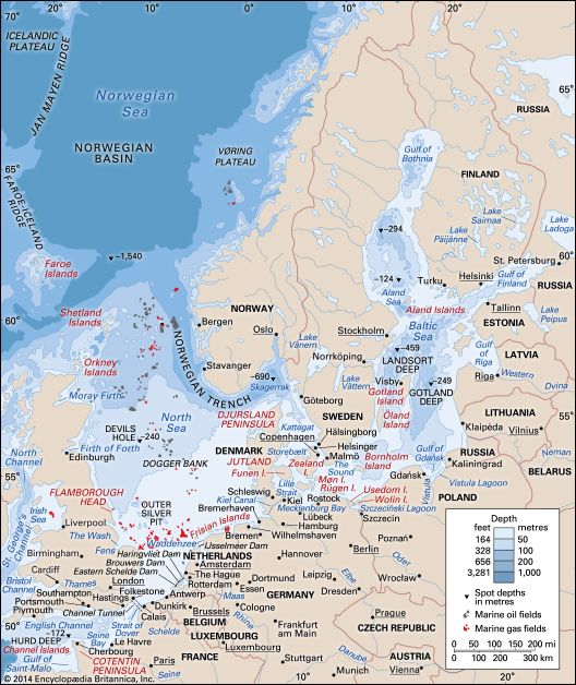
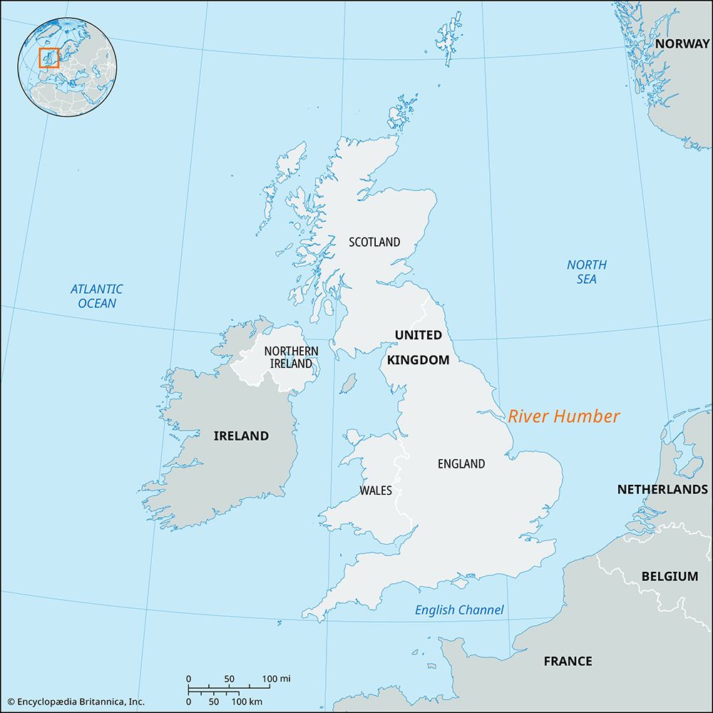
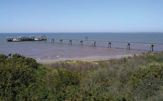
Spurn Head is a low-lying sand and shingle spit located on the North Sea coast of the East Riding of Yorkshire, England. It projects approximately 4 miles (6.5 km) southward across the mouth of the River Humber estuary.1
Geologically, Spurn Head serves as the southernmost tip of the Holderness region. It was formed over centuries by coastal currents that swept eroded sediment from the unstable clay cliffs of the Holderness coast toward the mouth of the Humber. This dynamic process of erosion and deposition continues to shape the area’s unique geography.2
How does coastal erosion shape the Holderness coastline?
The Holderness coastline is characterized by a line of unstable clay cliffs that are highly susceptible to coastal erosion. This process has been a persistent issue for centuries, resulting in the loss of numerous villages and agricultural fields to the North Sea since Roman times.2
The erosion is driven by the action of the sea against the soft, unconsolidated clay cliffs. To mitigate this damage, costly seawalls have been constructed to protect coastal resorts such as Hornsea and Withernsea.2
The sediment generated by this erosion is not lost entirely; instead, it is transported southward by coastal currents. This material is deposited at the mouth of the River Humber, where it has historically formed the sand spit and mud flats known as Spurn Head. While the erosion poses a significant threat to the coastline, the resulting sediment redistribution has also contributed to the formation of landforms elsewhere in the region.2
What is a sand spit and how does it form?
A spit is a narrow coastal landform composed of sand or shingle that is attached to the mainland at one end and projects into a body of water. These features often develop across the mouths of estuaries or extend from headlands at harbor entrances.3
The formation of a spit is primarily driven by the longshore transport of sediment. When water movement, such as waves or currents, strikes a coastline at an angle, it generates currents that move sediment along the shore. As this material is transported down the coast, it is deposited in locations where the energy required for transport is dissipated—typically where the coastline abruptly changes direction, such as around a bend or past an obstruction.34
Over time, these deposits build up to form a narrow ridge. Spits frequently develop a characteristic curved or hooked end, which is believed to result from the refraction of waves around the tip of the formation. If a spit continues to grow until it completely encloses a bay, it is referred to as a bar.43
Why is the Humber Estuary important for the local environment?
The River Humber estuary is a vital environmental and geographical feature on the east coast of England. It serves as a major deepwater inlet that drains a vast area of 9,550 square miles (24,750 square km) through the confluence of the Rivers Ouse and Trent.7
Environmentally, the estuary is significant for its diverse coastal features, most notably Spurn Head. This sand and shingle spit, which extends into the estuary, provides a critical habitat that includes a bird sanctuary, supporting local biodiversity.7
Beyond its ecological role, the estuary acts as a major maritime gateway. It is lined by significant ports such as Kingston upon Hull, Grimsby, and Immingham, which facilitate international trade and support industries ranging from food processing to the extraction of oil and gas from the North Sea. The construction of the Humber Bridge has further integrated the regions on either side of the estuary, enhancing its status as a commercial and cultural hub.78
Sources
- Spurn Head — Encyclopædia Britannica
- Holderness — Encyclopædia Britannica
- lake - Shore erosion and coastal features — Encyclopædia Britannica
- spit — Encyclopædia Britannica
- sandspit — Merriam-Webster
- coastal landforms - Coastal dunes — Encyclopædia Britannica
- River Humber — Encyclopædia Britannica
- Kingston upon Hull — Encyclopædia Britannica
Published on · 3 min read