River Humber
The River Humber is a major deepwater estuary located on the east coast of England, serving as an inlet to the North Sea. It is important to note that while…
Where is the River Humber estuary located, and what are its main geographical features?
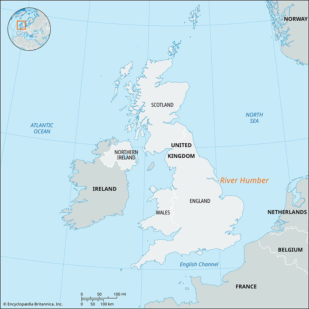
The River Humber is a major deepwater estuary located on the east coast of England, serving as an inlet to the North Sea. It is important to note that while there is a Humber River in Newfoundland, Canada, the estuary described is the one situated in the United Kingdom.12
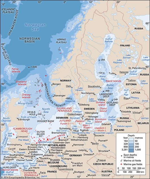
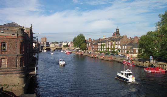
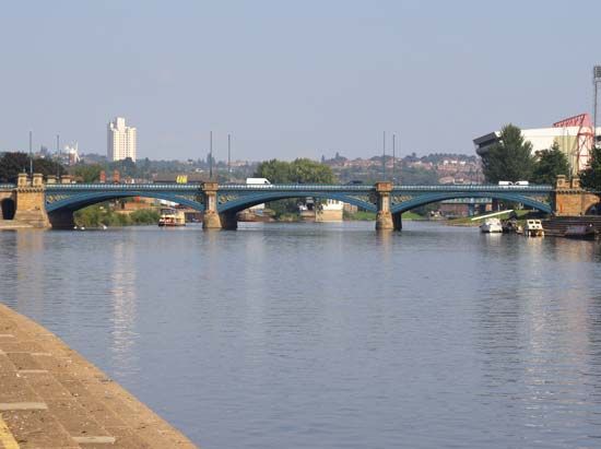
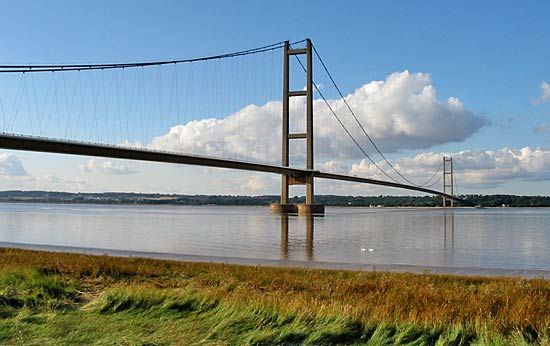
The Humber originates at the confluence of the Rivers Ouse and Trent and stretches approximately 40 miles (64 km) from west to east, forming the historic boundary between Yorkshire and Lincolnshire. Its width varies significantly, starting at over 0.75 miles (1.2 km) inland and expanding to more than 7 miles (11 km) at its mouth. A notable feature at the mouth is Spurn Head, a sand and shingle spit that hosts a bird sanctuary and lighthouse. The estuary is spanned by the Humber Bridge, a significant suspension bridge that connects its north and south banks.1
What are the major rivers that feed into the Humber estuary?
The River Humber estuary is primarily formed by the confluence of two major rivers:
- River Ouse: This river flows through north-central England and merges with the Trent to create the Humber.13
- River Trent: This river flows northward to meet the Ouse, completing the formation of the estuary.13
In addition to these two primary sources, the broader drainage system feeding into the Humber includes other significant waterways, such as the River Aire, which joins the Ouse before it reaches the Humber. Together with their various tributaries and associated canals, these rivers drain a vast area of approximately 9,550 square miles (24,750 square km).341
How has the Humber Bridge affected transportation and economic development in the region?
The Humber Bridge was constructed primarily to overcome the geographical barrier posed by the wide River Humber estuary, which had historically prevented unified economic development between its distinct north and south banks.6
Opened in 1981, the bridge serves as a vital transportation link connecting the East Riding of Yorkshire with North Lincolnshire. By providing a direct four-lane highway across the estuary, the project was intended to stimulate industrial and commercial growth in the region, an initiative championed by the Town Council of Kingston upon Hull.16
While the construction was initially controversial due to its high cost—exceeding $250,000,000—and its location away from pre-existing heavily traveled routes, the bridge remains a landmark of engineering. As the longest suspension bridge in the United Kingdom, it continues to facilitate regional connectivity and integration.16
What is the significance of the Humber Bridge to the region?
The Humber Bridge is a significant engineering landmark that serves as a vital link across the River Humber estuary, connecting the East Riding of Yorkshire with North Lincolnshire.61
Its primary significance lies in its role as a catalyst for regional integration. Historically, the great width of the estuary acted as a barrier, preventing unified economic development between the distinct north and south banks. By providing a direct four-lane highway, the bridge was constructed specifically to overcome this geographical divide and stimulate industrial and commercial growth in the region.61
Although its construction was initially controversial due to its high cost—exceeding $250,000,000—and its location away from established travel routes, the bridge remains a feat of engineering. Upon its completion in 1981, it held the title of the world’s longest suspension bridge and currently remains the longest in the United Kingdom.61
Sources
- River Humber — Encyclopædia Britannica
- Humber River — Encyclopædia Britannica
- River Ouse — Encyclopædia Britannica
- United Kingdom - Drainage — Encyclopædia Britannica
- Humberside — Encyclopædia Britannica
- Humber Bridge — Encyclopædia Britannica
Published on · 3 min read